
U.S. Route 42 is an east–west United States highway that runs southwest–northeast for 350 miles (560 km) from Louisville, Kentucky to Cleveland, Ohio. The route has several names including Pearl Road from Cleveland to Medina in Northeast Ohio, Reading Road in Cincinnati, Cincinnati and Lebanon Pike in southwestern Ohio and Brownsboro Road in Louisville. Traveling northeast, the highway ends in downtown Cleveland and traveling southwest ends in Louisville.

State Road 11 in the U.S. state of Indiana is located in south central Indiana and is divided into a northern and southern section. These sections were never connected.

State Road 32 (SR 32) in the U.S. state of Indiana is an east–west state highway in central Indiana that crosses the entire state, covering a distance of about 157 miles (253 km). The western terminus of SR 32 is at the Illinois state line, southeast of Danville, Illinois, where the state highway becomes a county road. The eastern terminus is at Union City, Indiana, and Union City, Ohio, at the Ohio state border where the highway becomes Ohio State Route 47.

State Road 61 is a 64-mile (103 km) north–south route that runs through portions of three counties in the southwest part of the U.S. State of Indiana.
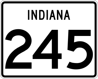
State Road 245 in the U.S. state of Indiana is a two-lane north–south highway in that runs entirely within Spencer County in the southwest corner of the state.

State Road 450 is a winding route in southern Indiana that terminates at both ends at its parent route, U.S. Route 50. It covers a distance of about 25 miles (40 km).
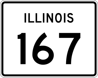
Illinois Route 167 is a 12.24-mile-long (19.70 km) east–west state road entirely located in Knox County in western Illinois. It runs from U.S. Route 34 northeast of Wataga to IL 180 east of Victoria. The route is maintained by the Illinois Department of Transportation.

State Road 520 is a four-lane connector about 1,000 feet (300 m) in length. It exists solely to connect U.S. Route 12 and U.S. Route 20 in Pines, about 3 miles (4.8 km) west of Michigan City. U.S. 12 and U.S. 20 do not cross with each other — they parallel each other for another 22 miles (35 km) westbound and overlap in Gary; U.S. 20 is generally considered the faster of the two, while U.S. 12 is the scenic Dunes Highway. Eastbound, U.S. 12 travels through Michigan City and northeast into Michigan where it forks east from the Red Arrow Highway. U.S. 20 stays in Indiana and runs around Michigan City as a bypass to the south.
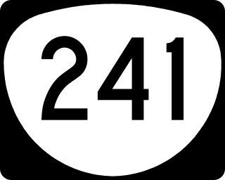
Oregon Route 241 is an Oregon state highway running from U.S. Route 101 in Coos Bay to Nesika County Park in Coos County. OR 241 is known as the Coos River Highway No. 241. It is 18.94 miles (30.48 km) long and runs east–west, entirely within Coos County.
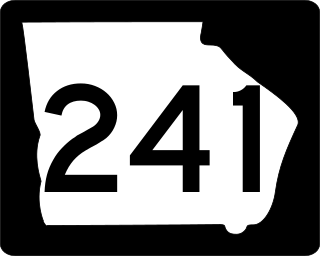
State Route 241 (SR 241) is a 5.6-mile-long (9.0 km) southwest-northeast state highway located in the southwestern part of the U.S. state of Georgia. It exists entirely within Decatur County.

State Road 119 exists as two separate roads in the U.S. state of Indiana. The road is a rural surface highway for the entire length of both sections.
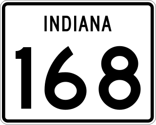
State Road 168 is a 17-mile-long (27 km) east–west two-lane highway that exists entirely within Gibson County in the far southwestern portion of the state, spanning Barton, Montgomery, and Union townships.

U.S. Route 50 (US 50) is a part of the United States Numbered Highway System that runs from West Sacramento, California, to Ocean City, Maryland. In the U.S. state of Indiana, it is part of the state road system. US 50 enters the state in Vincennes. The 171.38 miles (275.81 km) of US 50 that lie within Indiana serve as a major conduit. All of the highway is listed on the National Highway System. Various sections are rural two-lane highway, urbanized four-lane undivided highway and one-way streets. The easternmost community along the highway is Lawrenceburg at the Ohio state line. US 50 passes through urban areas, farmland and woodland.
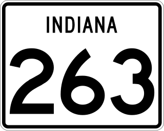
State Road 263 is a business route of State Road 63 which runs through West Lebanon in Warren County, covering a distance of about 13 miles (21 km). It is an undivided two-lane surface road for its entire length.
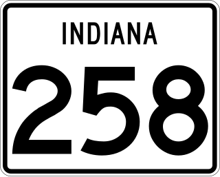
State Road 258 is a short undivided two-lane road in Jackson County in the southern part of the U.S. state of Indiana.
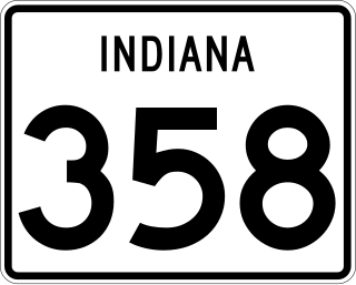
State Road 358 in the U.S. state of Indiana is an east–west state highway in Knox and Daviess counties, covering a distance of about 12 miles.
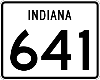
State Road 641 (SR 641) in the U.S. state of Indiana is a state road in Vigo County that bypasses the city of Terre Haute. The highway connects U.S. Route 41 (US 41) in the south and Interstate 70 (I-70) in the north.
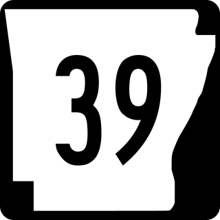
Highway 39 is a designation for two state highways in southeast Arkansas. The western segment of 9.98 miles (16.06 km) runs from US Route 49 (US 49) at Blackton to US 49/Highway 241. Another segment of 8.89 miles (14.31 km) runs north from Highway 1 and Highway 316 near Turner to US 49 in rural Phillips County.
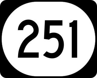
Kentucky Route 251 (KY 251) is an 11-mile-long (18 km) state highway in the U.S. state of Kentucky, split into two sections. The highway connects Elizabethtown and Fort Knox with rural areas of Hardin County; the second section, separated from the first by Fort Knox, is near Belmont in Bullitt County.

Highway 241 is a north–south state highway in Monroe County. The route of 7.08 miles (11.39 km) begins at US Highway 49 (US 49) and Highway 39 and runs west and north to Highway 302. The route is maintained by the Arkansas State Highway and Transportation Department (AHTD).

