The St. Joseph Valley Parkway is a freeway in the U.S. states of Indiana and Michigan, serving as a bypass route around Elkhart, Mishawaka, and South Bend in Indiana and Niles in Michigan. The freeway runs to the south and west of Elkhart and South Bend and Niles and consists of segments of U.S. Route 31 (US 31) and US 20; those two highway designations run concurrently at the southwestern rim of the South Bend metropolitan area. It continues north to run along the St. Joseph River valley.
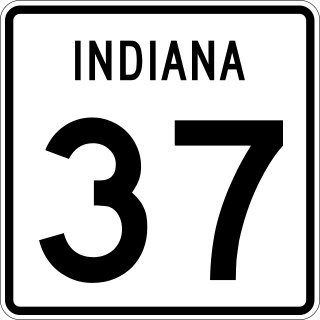
State Road 37 (SR 37) is a major route in the U.S. state of Indiana, running as a four-lane divided highway for 110 miles of its course.

M-205 was a state trunkline highway in the US state of Michigan. The route was turned back to local control in October 2002 by the Michigan Department of Transportation (MDOT) after the completion of M-217. MDOT swapped roadways with the Cass County Road Commission ending the 67-year history of M-205.

U.S. Route 35 (US 35) is a United States Highway that runs southeast-northwest for approximately 412 miles (663 km) from the western suburbs of Charleston, West Virginia to northern Indiana. Although the highway is physically southeast-northwest, it is nominally north–south. The highway's southern terminus is in Teays Valley, West Virginia, near Scott Depot, at Interstate 64 (I-64). Its northern terminus is near Michigan City, Indiana, at US 20. The West Virginia portion of the highway is mostly expressway, becoming a freeway shortly before it crosses the Ohio River into Ohio. The Ohio portion has been upgraded to a four-lane highway/freeway between the West Virginia state line and Trotwood, west of Dayton.
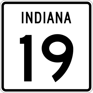
State Road 19 (SR 19) is a route on the Indiana State Highway System that runs between Noblesville and Elkhart in the US state of Indiana. The 143 miles (230.14 km) of Indiana SR 19 serve as a minor highway. Some of the highway is listed on the National Highway System. Various sections are urban four-lane highway and rural two-lane highway. The highway passes through farmland, residential and commercial properties. The northernmost community along the highway is Simonton Lake at the Michigan state line.

State Road 2 (SR 2) in the U.S. State of Indiana is an east–west route running from the Illinois border at Illinois Route 17 east to the outskirts of South Bend, Indiana, at the U.S. Route 20/U.S. Route 31 freeway, also known as the St. Joseph Valley Parkway. This is a distance of 80.98 miles (130.32 km).

State Road 4 is an east–west discontinuous state road in the US state of Indiana. The western end of the western segment is in La Porte. The highway passes through rural areas of LaPorte and St. Joseph counties, before ending near Lakeville. The central segment starts at the eastern city limits of Goshen and heads east passing through rural Elkhart County, before ending at SR 13. The eastern segment runs between SR 327 and Interstate 69 (I-69), passing through the towns of Ashley. The state road runs through five counties in northern Indiana mostly through rural farm fields and small towns.

State Road 7 in the U.S. State of Indiana is located in southeast Indiana. It runs from northwest-to-southeast connecting the cities of Columbus and Madison.

State Road 23 is a highway in the north-central part of the U.S. state of Indiana. In practice it runs from the southwest to the northeast, though it is designated as a north–south route. It is an undivided surface road.

State Road 933 (SR 933) is an Indiana State Road that runs between Elkhart and South Bend in US state of Indiana. The 16.83 miles (27.09 km) of SR 933 that lie within the state serve as a major conduit. None of the highway is listed on the National Highway System. Various sections are urban two-lane highway and urbanized four-lane divided highway. The highway passes through residential and commercial properties.

U.S. Route 30 (US 30) is a road in the United States Numbered Highway System that runs from Astoria, Oregon, to Atlantic City, New Jersey. In Indiana, the route runs from the Illinois state line at Dyer to the Ohio state line east of Fort Wayne and New Haven. The 155.96 miles (250.99 km) of US 30 that lie within Indiana serve as a major conduit. The entire length of U.S. Route 30 in Indiana is included in the National Highway System (NHS). The highway includes four-lane, rural sections, an urbanized, four-lane divided expressway, and several high-traffic, six-lane freeway areas. First designated as a US Highway in 1926, US 30 replaced the original State Road 2 (SR 2) and SR 44 designation of the highway which dated back to the formation of the Indiana State Road system. A section of the highway originally served as part of the Lincoln Highway. Realignment and construction projects have expanded the highway to four lanes across the state, and the road is now part of a long stretch of US 30 from New Lenox, Illinois, to Canton, Ohio, where the road has at least four lanes. There are over 40 traffic signals between I-65 at Merrillville and I-69 at Fort Wayne.

State Road 5 (SR 5) is a north–south state road in the US state of Indiana. Its southern terminus is at SR 22 in Upland, and the northern terminus is at SR 120 just north of Shipshewana. The state road runs for just over 96 miles (154 km), passing through five counties in northern Indiana, mostly through rural farm fields and small towns. The largest city along its path is Huntington. It is entirely a surface highway that is very rural outside of the towns. SR 5 runs along two dams the first being J. Edward Roush Lake Dam and the second being the Wilmot Dam.

M-217, also known as Michiana Parkway, is a multi-lane state trunkline highway in the U.S. state of Michigan. The Michiana Parkway, which extends into Indiana, was constructed as a joint effort of the Michigan Department of Transportation (MDOT), the Cass County Road Commission and the Elkhart County Highway Department. Michigan's segment of the parkway is 1.563 miles (2.515 km) long continuing County Road 17 (CR 17) in Elkhart County north into the state.

State Road 218 is an east–west state road, that consists of two discontinuous sections, in the northern part of the US state of Indiana. The western segment of SR 218 is just under 41.4 miles (66.6 km) long and connects Old State Road 25 with SR 19. The eastern portion runs from SR 15 and the Ohio state line; it is approximately 50 miles (80 km) long. The road passes through a few small towns or small cities and passes through mostly rural agriculture land. In it entire length SR 218 passes through seven counties while covering over 91 miles (146 km).
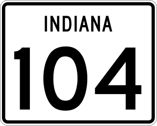
State Road 104 (SR 104) is a state road in the northern section of the US state of Indiana. It serves as a connector between SR 4 near Stillwell to U.S. Route 6 in Walkerton. The highway runs parallel to a rail line in a northwest-to-southeast direction in rural LaPorte and St. Joseph counties. SR 104 dates back to the 1940s.

Several special routes of U.S. Route 31 exist. In order from south to north they are as follows.

State Road 116 is a State Road in the northern section of the US state of Indiana. Running for about 32 miles (51 km) in a general southeast-northwest direction and it is signed east-west. The road connects Markle, Bluffton, and Geneva and passes through mostly farmland outside of cities and towns. SR 116 was originally introduced in the early 1930s routed between Markle and SR 3 north of Bluffton. The road was extended southeast to U.S. Highway 27 in the late 1930s and early 1940s. In the mid-1940s the road was extended east to the Ohio state line, near New Corydon. This extension was removed between late 1990s and early 2000s, the east end of SR 116 was truncated to its current location at US 27.

U.S. Route 20 (US 20) in Indiana is a main east–west highway that is parallel to the Indiana Toll Road. The western terminus of US 20 is at the Illinois state line and the eastern terminus is at the Ohio state line. US 20 through Whiting, East Chicago, and Gary is concurrent with US 12 twice. The route varies between one-way, two-lane, and four-lane streets, in northwestern Indiana. From the east side of Gary to west of South Bend, US 20 is a four-lane undivided highway. The route then heads around the west and south sides of South Bend and Elkhart as a four-lane limited access divided highway. East of State Road 15 (IN-15), US 20 is two-lane rural highway.
U.S. Route 31 (US 31) is a part of the United States Numbered Highway System that runs from Spanish Fort, Alabama, to Mackinaw City, Michigan. It enters the U.S. state of Indiana via the George Rogers Clark Memorial Bridge between Louisville, Kentucky, and Clarksville, Indiana. The 266.02 miles (428.12 km) of US 31 that lie within Indiana serve as a major conduit. Some of the highway is listed on the National Highway System. Various sections are rural two-lane highway and urbanized four- or six-lane divided expressway. The northernmost community along the highway is South Bend near the Michigan state line.

