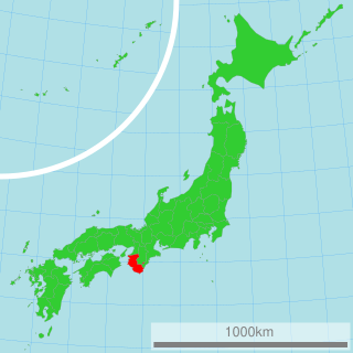
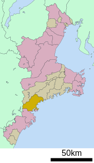
Wakayama Prefecture is a prefecture of Japan located in the Kansai region of Honshu. Wakayama Prefecture has a population of 944,320 and has a geographic area of 4,724 square kilometres (1,824 sq mi). Wakayama Prefecture borders Osaka Prefecture to the north, and Mie Prefecture and Nara Prefecture to the northeast.
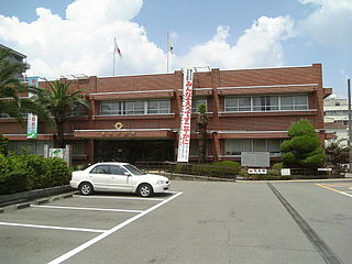
Hashimoto is a city located in Wakayama Prefecture, Japan. The city was founded on January 1, 1955. As of February 2021, the city has an estimated population of 62,941 and a population density of 480 persons per km². The total area is 130.31 km².
Wake is a district located in Okayama Prefecture, Japan.

Kaisō is a district located in Wakayama Prefecture, Japan.

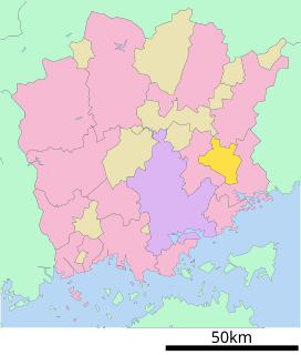
Katsuragi is a town located in Ito District, Wakayama Prefecture, Japan. As of October 1, 2016, the town has an estimated population of 16,686 and a density of 110 persons per km². The total area is 151.73 km².
Kōyaguchi was a town located in Ito District, Wakayama Prefecture, Japan.
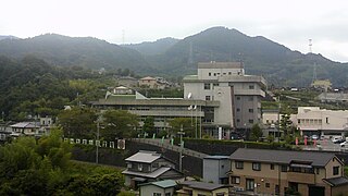
Kudoyama is a town located in Ito District, Wakayama Prefecture, Japan.

Kōya is a town located on a plateau atop Mt. Koya in Ito District, Wakayama Prefecture, Japan. The town is known as the headquarters of the Shingon sect of Japanese Buddhism. As of October 1, 2016, the town has an estimated population of 3,279 and a density of 24 persons per km². The total area is 137.08 km².
Hanazono was a village located in Ito District, Wakayama Prefecture, Japan.

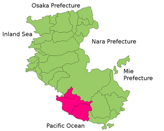
Arida District is a district located in Wakayama Prefecture, Japan.
Nishimuro District is a district located in Wakayama Prefecture, Japan.
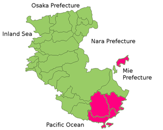
Higashimuro is a district located in Wakayama Prefecture, Japan.

Kitakatsuragi is a district located in Nara Prefecture, Japan.

Minamikawachi is a district located in Osaka Prefecture, Japan. In 2009 the district had an estimated population of 37,695 and a density of 491 persons per km2. The total area is 76.81 km2.
Sōraku is a district in Kyoto Prefecture, Japan.
Japan > Mie Prefecture > Kitamuro District
Tagata District is a rural district located in Shizuoka Prefecture, Japan. As of July 2012, the district has an estimated population of 38,332 and a population density of 589 persons per km2. The total area was 65.13 km2. The district is administered out of the city hall of Mishima City.

Kaizuka is a city located in Osaka Prefecture, Japan on Osaka Bay, southwest of the prefectural capital of Osaka. As of October 2016, the city has an estimated population of 88,345 and a population density of 2,000 persons per km². The total area is 43.99 km². The city is promoting volleyball because it used to be the home of Nichibo Women's Volleyball Team called Oriental Witches led by Hirofumi Daimatsu.
Aridagawa is a town located in Arida District, in central Wakayama Prefecture, Japan.
This page is based on this
Wikipedia article Text is available under the
CC BY-SA 4.0 license; additional terms may apply.
Images, videos and audio are available under their respective licenses.

