Joypurhat জয়পুরহাট | |
|---|---|
 | |
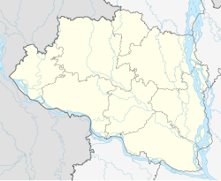 Location in Bangladesh  Joypurhat (Bangladesh) | |
| Coordinates: 25°06′00″N89°01′26″E / 25.10°N 89.024°E | |
| Country | |
| Division | Rajshahi |
| District | Joypurhat |
| Upazila | Joypurhat Sadar |
| Pala Empire | 810-850 |
| Joypurhat Municipality | 1975 |
| Government | |
| • Type | Mayor Council |
| • Body | Joypurhat Municipality |
| Area | |
• Total | 18.55 km2 (7.16 sq mi) |
| Population (2022) | |
• Total | 84,910 |
| • Density | 4,600/km2 (12,000/sq mi) |
Joypurhat is a city in northwestern Bangladesh, near the border with India. It is the headquarters of Joypurhat District. One of the largest sugermill in Bangladesh, known as Joypurhat Sugarmills Limited and Bangladesh's only mineral and metallurgical research center known as Institute of Mining, Mineralogy and Metallurgy (IMMM), BCSIR. Joypurhat is located in Joypurhat city. The economy of Joypurhat city depends on agriculture, poultry industry, small and medium industries. The famous tourist spot Paharpur Buddha Bihar is only 13.2 km away from Joypurhat city.