
Naldurg is a town and a municipal council in Osmanabad district in the Indian state of Maharashtra.
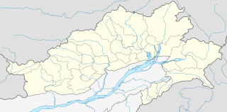
Changlang is a census town and headquarters of the Changlang district in the Indian state of Arunachal Pradesh. It has become one of the major districts in the area owing to the presence of crude oil, coal and mineral resources other than tourism and hydro power.

Jammalamadugu is a Town in Municipality and Revenue Division in YSR Kadapa district of the Indian state of Andhra Pradesh. It is in Jammalamadugu mandal of Jammalamadugu revenue division.
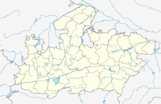
Bilaua is a town and a nagar panchayat in Gwalior district in the state of Madhya Pradesh, India.

Daitari is a census town in Kendujhar district in the state of Odisha, India.
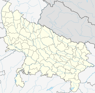
Dhampur is a city and a municipal board in Bijnor district in the state of Uttar Pradesh, India. It is located at 29.51°N 78.50°E, and lies in Northern India.
Gajraula is a city and municipal board in Amroha district in the state of Uttar Pradesh, India. Gajraula is also the headquarters of Gajraula block. It is located on NH 9, a four-lane highway connecting Uttarakhand and cities such as Bareilly and Lucknow via Delhi. It is an important industrial city of Uttar Pradesh with some named multinationals like Jubliant Life Sciences, RACL Geartech, Israeli Pharma Teva API etc. and important higher educational institutions like Sri Venkateshwara University and other important engineering colleges there. The surrounding major cities are Moradabad, Meerut, Bulandsahar, Budaun, Hapur and Delhi NCR.
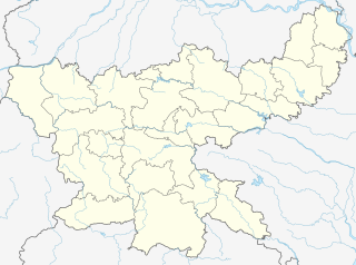
Hesla is a village in Bagodar CD Block in Bagodar-Saria subdivision of Giridih district in the Indian state of Jharkhand.
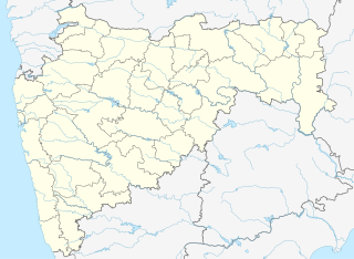
Khapa is a city and a municipal council in Nagpur district in the Indian state of Maharashtra.

Khawhai is a census town in Champhai district in the Indian state of Mizoram.
Kiraoli is a town and a nagar panchayat in Agra district in the Indian state of Uttar Pradesh.
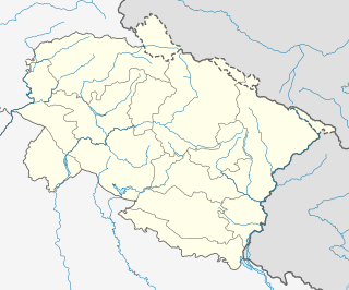
Kirtinagar is a town and a Nagar Panchayat and a Taluk in Tehri Garhwal district in the Indian state of Uttarakhand.
Manegaon is a census town in Balaghat district in the Indian state of Madhya Pradesh.
Rahatgarh is a town and a nagar panchayat in Sagar district in the Indian state of Madhya Pradesh.

Sabroom is a town and a Nagar Panchayat on South Tripura district in the Indian state of Tripura. It is located on the banks of the Feni River, which separates India and Bangladesh. Most of the people speak Noakhailla.
Sahawar is a town and a nagar panchayat, as well as Tehsil in Kasganj district in the Indian State of Uttar Pradesh. Previously, it was part of district Etah. Zahida Sultan D/O Late Malik Muhammad Mushir Ahmed Khan is the present chairperson of Sahawar Town. The Block Sahawar was established in 01/04/1958.

Salumbar is a statutory town in Udaipur district in the Indian state of Rajasthan.
Susner is a town and a nagar panchayat and Sub division in Agar Malwa district in the Indian state of Madhya Pradesh.

Raipur is a census town in Dehradun district in the Indian state of Uttarakhand.

Gaddi Annaram is a census town and Municipality in Ranga Reddy district of India. It is located in the common capital area shared between the states of Telangana and Andhra Pradesh.

 India
India 