La Chorrera Airport | |||||||||||
|---|---|---|---|---|---|---|---|---|---|---|---|
| Summary | |||||||||||
| Airport type | Public | ||||||||||
| Operator | Aerocivil | ||||||||||
| Location | La Chorrera, Colombia | ||||||||||
| Coordinates | 1°27′25″S72°48′05″W / 1.45694°S 72.80139°W | ||||||||||
| Map | |||||||||||
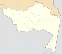 LCR  LCR | |||||||||||
| Runways | |||||||||||
| |||||||||||
| GCM [1] Google Maps [2] | |||||||||||
La Chorrera Airport( IATA : LCR) is an airport serving the town of La Chorrera in the Amazonas Department of Colombia.