Latulipe-et-Gaboury | |
---|---|
United township municipality | |
Latulipe | |
Location within Témiscamingue RCM. | |
Coordinates: 47°25′38″N79°01′56″W / 47.4273°N 79.0322°W Coordinates: 47°25′38″N79°01′56″W / 47.4273°N 79.0322°W [1] | |
Country | |
Province | |
Region | Abitibi-Témiscamingue |
RCM | Témiscamingue |
Settled | 1909 |
Constituted | November 18, 1924 |
Named for | Élie-Anicet Latulipe, Tancrède-Charles Gaboury [1] |
Government [2] | |
• Mayor | Michel Duval |
• Federal riding | Abitibi—Témiscamingue |
• Prov. riding | Rouyn-Noranda–Témiscamingue |
Area [2] [3] | |
• Total | 298.30 km2 (115.17 sq mi) |
• Land | 269.11 km2 (103.90 sq mi) |
Population (2011) [3] | |
• Total | 304 |
• Density | 1.1/km2 (3/sq mi) |
• Pop (2006–11) | |
• Dwellings | 202 |
Time zone | EST (UTC−5) |
• Summer (DST) | EDT (UTC−4) |
Postal code(s) | J0Z 2N0 |
Area code(s) | 819 |
Website | www |
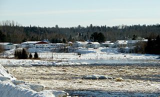
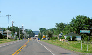
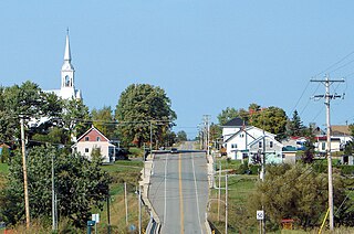
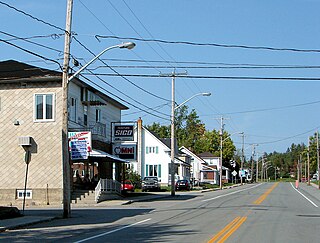
Latulipe-et-Gaboury is a United township municipality in northwestern Quebec, Canada, in the Témiscamingue Regional County Municipality. The only other remaining united township municipality in Quebec is Stoneham-et-Tewkesbury.
Quebec is one of the thirteen provinces and territories of Canada. It is bordered to the west by the province of Ontario and the bodies of water James Bay and Hudson Bay; to the north by Hudson Strait and Ungava Bay; to the east by the Gulf of Saint Lawrence and the province of Newfoundland and Labrador; and to the south by the province of New Brunswick and the U.S. states of Maine, New Hampshire, Vermont, and New York. It also shares maritime borders with Nunavut, Prince Edward Island, and Nova Scotia. Quebec is Canada's largest province by area and its second-largest administrative division; only the territory of Nunavut is larger. It is historically and politically considered to be part of Central Canada.
Canada is a country in the northern part of North America. Its ten provinces and three territories extend from the Atlantic to the Pacific and northward into the Arctic Ocean, covering 9.98 million square kilometres, making it the world's second-largest country by total area. Canada's southern border with the United States is the world's longest bi-national land border. Its capital is Ottawa, and its three largest metropolitan areas are Toronto, Montreal, and Vancouver. As a whole, Canada is sparsely populated, the majority of its land area being dominated by forest and tundra. Consequently, its population is highly urbanized, with over 80 percent of its inhabitants concentrated in large and medium-sized cities, many near the southern border. Canada's climate varies widely across its vast area, ranging from arctic weather in the north, to hot summers in the southern regions, with four distinct seasons.
Témiscamingue is a regional county municipality in the Abitibi-Témiscamingue region of western Quebec, Canada. The county seat is Ville-Marie.
Population trend: [4]
Private dwellings occupied by usual residents: 141 (total dwellings: 202)
Mother tongue: [5]
Saint-Eugène-d'Argentenay is a municipality in the Canadian province of Quebec, located within the regional county municipality of Maria-Chapdelaine. The municipality had a population of 546 as of the Canada 2011 Census. Prior to 1997 it was known simply as Saint-Eugène.
Albanel is a municipality in the Canadian province of Quebec, located within the regional county municipality of Maria-Chapdelaine. The municipality had a population of 2,293 as of the Canada 2011 Census.
Rochebaucourt is a municipality in the Canadian province of Quebec, located in the Abitibi Regional County Municipality.
Fugèreville is a municipality in northwestern Quebec, Canada in the Témiscamingue Regional County Municipality.
Laforce is a municipality in northwestern Quebec, Canada, in the Témiscamingue Regional County Municipality.
Laverlochère is a municipality in northwestern Quebec, Canada, in the Témiscamingue Regional County Municipality.
Moffet is a municipality in northwestern Quebec, Canada, in the Témiscamingue Regional County Municipality. The municipality had a population of 196 as of the Canada 2011 Census. Moffet consists of farming and cattle. With few stores in the town. Towns people mostly speak French, Quebec's official language. Few know English. The town is the home of Lac Chevreuil "Lake Deer" and neighbors Lac Simard. Over the years it has become a visitors spot for fishing and camping. Visitors come from other parts of Canada and parts of the United States. The town is very small; most people live on the main road that passes through Chemin De Moffet and Rue Principale. Some are scattered away from town, but not far away. Neighboring towns of Moffet are to the southwest is Latulipe-et-Gaboury and to the east Laforce.
Angliers is a village in northwestern Quebec, Canada, in the Témiscamingue Regional County Municipality.
Rémigny is a municipality in northwestern Quebec, Canada, in the Témiscamingue Regional County Municipality.
Saint-Bruno-de-Guigues, often shortened to Guigues, is a municipality in northwestern Quebec, Canada, in the Témiscamingue Regional County Municipality.
Saint-Eugène-de-Guigues, often shortened to Saint-Eugène, is a municipality in northwestern Quebec, Canada, in the Témiscamingue Regional County Municipality.
Guérin is a township municipality in northwestern Quebec, Canada, in the Témiscamingue Regional County Municipality. It was named for James John Edmund Guerin.
Saint-Édouard-de-Fabre is a parish municipality in western Quebec, Canada, in the Témiscamingue Regional County Municipality.
Senneterre is a parish municipality in northwestern Quebec, Canada, in the La Vallée-de-l'Or Regional County Municipality. The parish is mostly a rural municipality that almost completely surrounds the actual population centre of the neighbouring City of Senneterre.
Saint-André-du-Lac-Saint-Jean is a village municipality in Quebec, Canada.
Lac-Bouchette is a municipality in Quebec, Canada. The town is located on the eastern shore of the eponymous Lake Bouchette, along Quebec Route 155 and the Canadian National Railway.
Chambord is a municipality in Le Domaine-du-Roy Regional County Municipality in the Saguenay–Lac-Saint-Jean region of Quebec, Canada. The Chambord meteorite was found near here in 1904.
Labrecque is a municipality in Quebec, Canada.
Lamarche is a municipality in Quebec, Canada.
Sainte-Monique is a municipality in Quebec, Canada. It is sometimes known as Sainte-Monique-de-Honfleur.
This Abitibi-Témiscamingue location article is a stub. You can help Wikipedia by expanding it. |