Related Research Articles
Arthabaska County is an historical county founded in 1855 in central Quebec, Canada. Its county seat was Arthabaska and the main city was Victoriaville. It was bounded on the northeast by Mégantic County on the southeast Wolfe County, on the southwest by Drummond County and Richmond County and on the northwest by Nicolet County. It was formed from the townships of Warwick, Standold, Arthabaska, Chester-Est, Chester-Ouest and Tingwick, as well as part of the townships of Maddington, Blandford, Horton, Bulstrode, Simpson, and Aston.

Amos is a town in northwestern Quebec, Canada, on the Harricana River. It is the seat of Abitibi Regional County Municipality.

Morin-Heights is a town in the Laurentian Mountains region of Quebec, Canada. It is west of Saint-Sauveur and north of Lachute; municipally, it is within the Regional County Municipality of Les Pays-d'en-Haut.
Bonaventure was a federal electoral district in the province of Quebec, Canada, that was represented in the House of Commons of Canada from 1867 to 1997. It was created as "Bonaventure" riding by the British North America Act, 1867.
Mansfield-et-Pontefract is a municipality in the Pontiac Regional County Municipality of western Quebec, Canada. It is located on the Ottawa River, northwest of Gatineau. It is the most populated municipality in the Pontiac Regional County Municipality, with most of the population and businesses concentrated along Quebec Route 148.
The following is a list of the types of local and supralocal territorial units in Quebec, Canada, including those used solely for statistical purposes, as defined by the Ministry of Municipal Affairs, Regions and Land Occupancy and compiled by the Institut de la statistique du Québec.

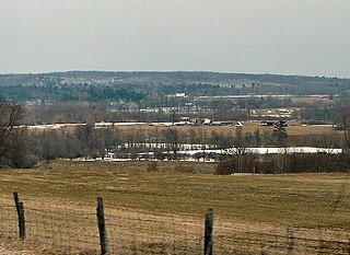
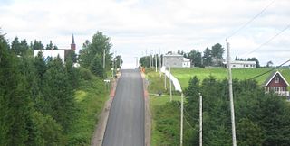
Sainte-Hélène-de-Chester is a municipality located in the Centre-du-Québec region of Quebec, Canada.
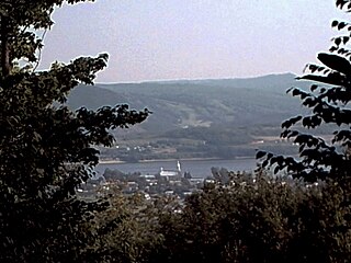
Pointe-à-la-Croix is a municipality located on the Restigouche River in the Gaspésie region of eastern Quebec, Canada. It is situated across from the city of Campbellton, New Brunswick.

The municipal history of Quebec started in 1796 with the creation of administrations for Montréal and Quebec City, but it really developed immediately prior to the creation of the Province of Canada in 1841 with the formation of municipal districts, followed in March 1845 when the Parliament of the Province of Canada adopted an Act to create local authorities in Lower Canada which took effect in July 1845.

Nominingue is a small village and municipality located 200 kilometres (120 mi) north of Montreal, Quebec, Canada, in the Laurentian Mountains. It was formerly called Lac-Nominingue, but changed name on September 16, 2000.

Egan-Sud is a municipality in the La Vallée-de-la-Gatineau Regional County Municipality, Quebec, Canada, directly north of Maniwaki.

Lac-des-Écorces is a municipality and village in the Laurentides region of Quebec, Canada, part of the Antoine-Labelle Regional County Municipality.
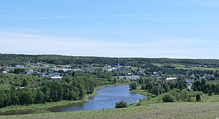
Ristigouche-Sud-Est is a municipality in Quebec, Canada, near the head of the Baie de Chaleur. It is a rural municipality without population centres, situated along the CN Railway line which hosts the VIA Rail Ocean (train) route; the nearest VIA station is Matapedia.
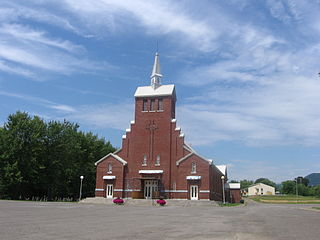
Maria is a municipality in Quebec, Canada.

Escuminac is a municipality in Quebec, Canada, on the north shore of the Restigouche River.
Saint-André-de-Restigouche is a municipality in Quebec, Canada.
Saint-Ludger is a municipality in the Le Granit Regional County Municipality in Estrie, Quebec, Canada, on the Canada–United States border. Population is 1,074 as of 2021.

Ham-Sud is a municipality in Quebec, Canada.
References
- ↑ "Modifications aux Municipalités Depuis le 1er Janvier 1991" (PDF). Commission de Toponymie. March 3, 2022. Retrieved June 3, 2024.