
Shawnee County is located in northeast Kansas, in the central United States. Its county seat and most populous city is Topeka, the state capital. As of the 2020 census, the population was 178,909, making it the third-most populous county in Kansas. The county was one of the original 33 counties created by the first territorial legislature in 1855, and it was named for the Shawnee tribe.

Johnson County is a county in the U.S. state of Kansas, along the border of the state of Missouri. Its county seat is Olathe. As of the 2020 census, the population was 609,863, the most populous county in Kansas. The county was named after Thomas Johnson, a Methodist missionary who was one of the state's first settlers. Largely suburban, the county contains a number of suburbs of Kansas City, Missouri, including Overland Park, a principal city of and second most populous city in the Kansas City Metropolitan Area.

Douglas County is located in the U.S. state of Kansas. Its county seat and most populous city is Lawrence. As of the 2020 census, the county population was 118,785, making it the fifth-most populous county in Kansas. The county was named after Stephen Douglas, a U.S. Senator from Illinois and advocate for the moderate popular sovereignty choice in the Kansas slavery debate.
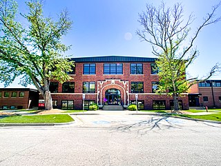
De Soto is a city along the Kansas River, in Johnson and Leavenworth counties in the U.S. state of Kansas, and part of the Kansas City Metropolitan Area. As of the 2020 census, the population of the city was 6,118, and the 2021 estimate is 6,380.
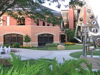
Olathe is the county seat of Johnson County, Kansas, United States. It is the fourth-most populous city in both the Kansas City metropolitan area and the state of Kansas, with a 2020 population of 141,290.
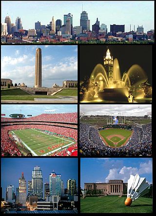
The Kansas City metropolitan area is a bi-state metropolitan area anchored by Kansas City, Missouri. Its 14 counties straddle the border between the U.S. states of Missouri and Kansas. With 8,472 square miles (21,940 km2) and a population of more than 2.2 million people, it is the second-largest metropolitan area centered in Missouri and is the largest metropolitan area in Kansas, though Wichita is the largest metropolitan area centered in Kansas. Alongside Kansas City, Missouri, these are the suburbs with populations above 100,000: Overland Park, Kansas; Kansas City, Kansas; Olathe, Kansas; Independence, Missouri; and Lee's Summit, Missouri.

The Sunflower Army Ammunition Plant was a smokeless powder and propellant manufacturing facility in De Soto within Johnson County, Kansas. Constructed after the attack on Pearl Harbor pushed the United States into World War II, it was the largest ammunition plant in the world during operation. At the time of operations, the plant was located in northwest unincorporated Johnson County, Kansas, owned by the United States Government, and operated under contract, primarily by Hercules Aerospace Company.

K-10 is a 36.611-mile-long (58.920 km) state highway in the U.S. state of Kansas. It was originally designated in 1929. It is mostly a controlled-access freeway, linking Lawrence to Lenexa. It provides an important toll-free alternate route to Interstate 70. Several scenes for the TV-movie The Day After were filmed on the highway at De Soto in 1982 portraying a mass exodus evacuating the Kansas City area on I-70.
De Soto USD 232 is a public unified school district headquartered in De Soto, Kansas, United States. The district includes the communities of De Soto, 60% of Shawnee, 40% of Lenexa, fraction of Olathe, and nearby rural areas.
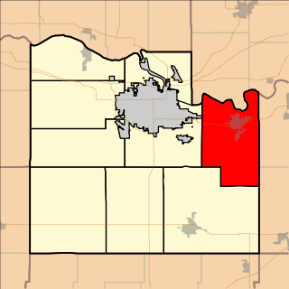
Eudora Township is a township in Douglas County, Kansas, USA. As of the 2010 census, its population was 6,724.
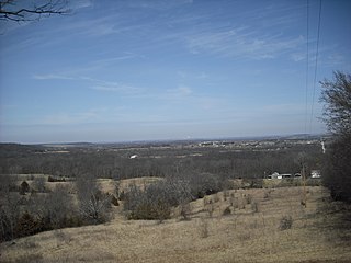
Palmyra Township is a township in Douglas County, Kansas, USA. As of the 2000 census, its population was 5,760. It was named after a small trail stop on the Santa Fe Trail that was later absorbed into Baldwin City. When it was first established in 1855, it was called Calhoun, until 1858.

Gardner Township is one of seven townships in Johnson County, Kansas, USA. As of the 2010 census, its population was 2,143.

McCamish Township is one of seven townships in Johnson County, Kansas, USA. As of the 2010 census, its population was 878.

Olathe Township is one of seven townships in Johnson County, Kansas, USA. As of the 2010 census, its population was 137,324. It contains the city of Olathe, Kansas and 0.53 Square Miles of De Soto, Kansas & Lexington Township, Kansas

Sherman Township is one of ten townships in Leavenworth County, Kansas, United States. As of the 2010 census, its population was 2,657. Sherman contains two cities, Linwood and De Soto.


