This article needs additional citations for verification .(January 2018) |
This article may require cleanup to meet Wikipedia's quality standards. The specific problem is: Need to move Chinese-language names to linked articles or create stubs.(December 2024) |

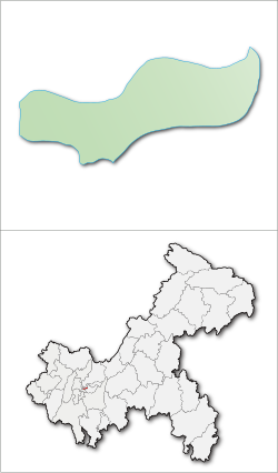
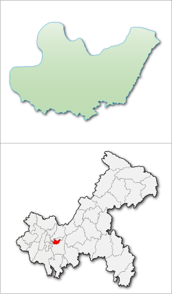
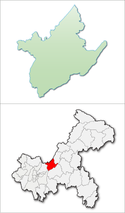
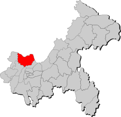
This is a list of township-level divisions of the municipality of Chongqing, People's Republic of China (PRC). After province, prefecture, and county-level divisions, township-level divisions constitute the formal fourth-level administrative divisions of the PRC. However, as Chongqing is a province-level municipality, the prefecture-level divisions are absent and so county-level divisions are at the second level, and township-level divisions are at the third level of administration. There are a total of 1,017 such divisions in Chongqing, divided into 193 subdistricts, 611 towns, 193 townships and 14 Ethnic townships. This list is organised by the county-level divisions of the municipality. [1]
Contents
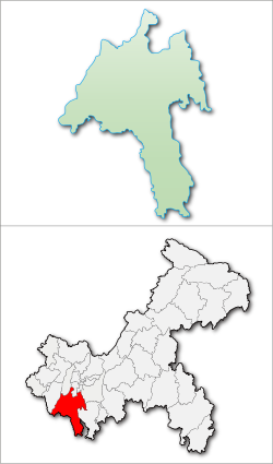
- Yuzhong District
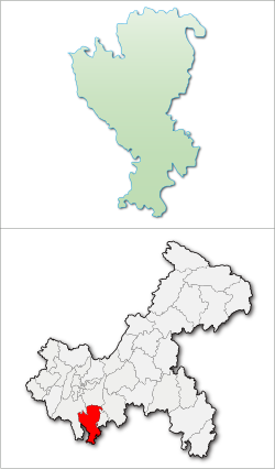
- Dadukou District
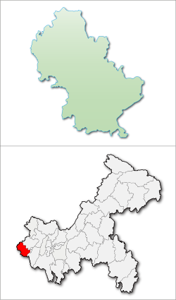
- Jiangbei District
- Shapingba District
- Jiulongpo District
- Nan'an District
- Banan District
- Beibei District
- Yubei District
- Bishan District
- Changshou District
- Dazu District
- Hechuan District
- Jiangjin District
- Qijiang District
- Yongchuan District
- Tongliang District
- Fuling District
- Nanchuan District
- Wanzhou District
- Qianjiang District
- Rongchang County
- Tongnan County
- Dianjiang County
- Fengdu County
- Wulong County
- Chengkou County
- Fengjie County
- Kaizhou District
- Liangping County
- Wushan County
- Wuxi County
- Yunyang County
- Zhong County
- Pengshui Miao and Tujia Autonomous County
- Shizhu Tujia Autonomous County
- Xiushan Tujia and Miao Autonomous County
- Youyang Tujia and Miao Autonomous County
- References