| Little Clyde River | |
|---|---|
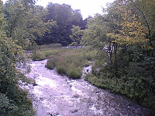
 Location of the mouth of the Little Clyde River in southern Ontario | |
| Etymology | After the River Clyde in Scotland |
| Location | |
| Country | Canada |
| Province | Ontario |
| Region | Eastern Ontario |
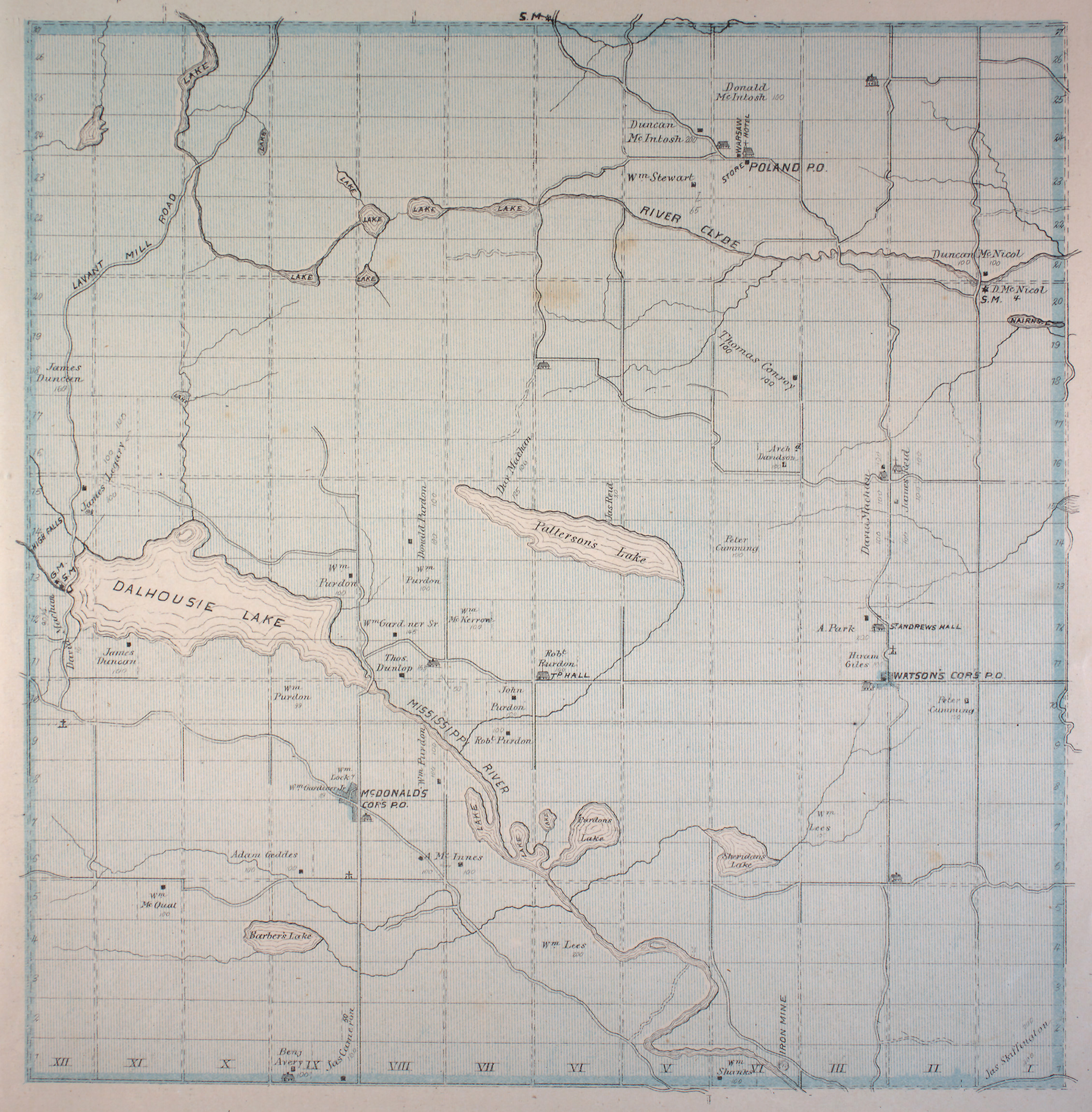
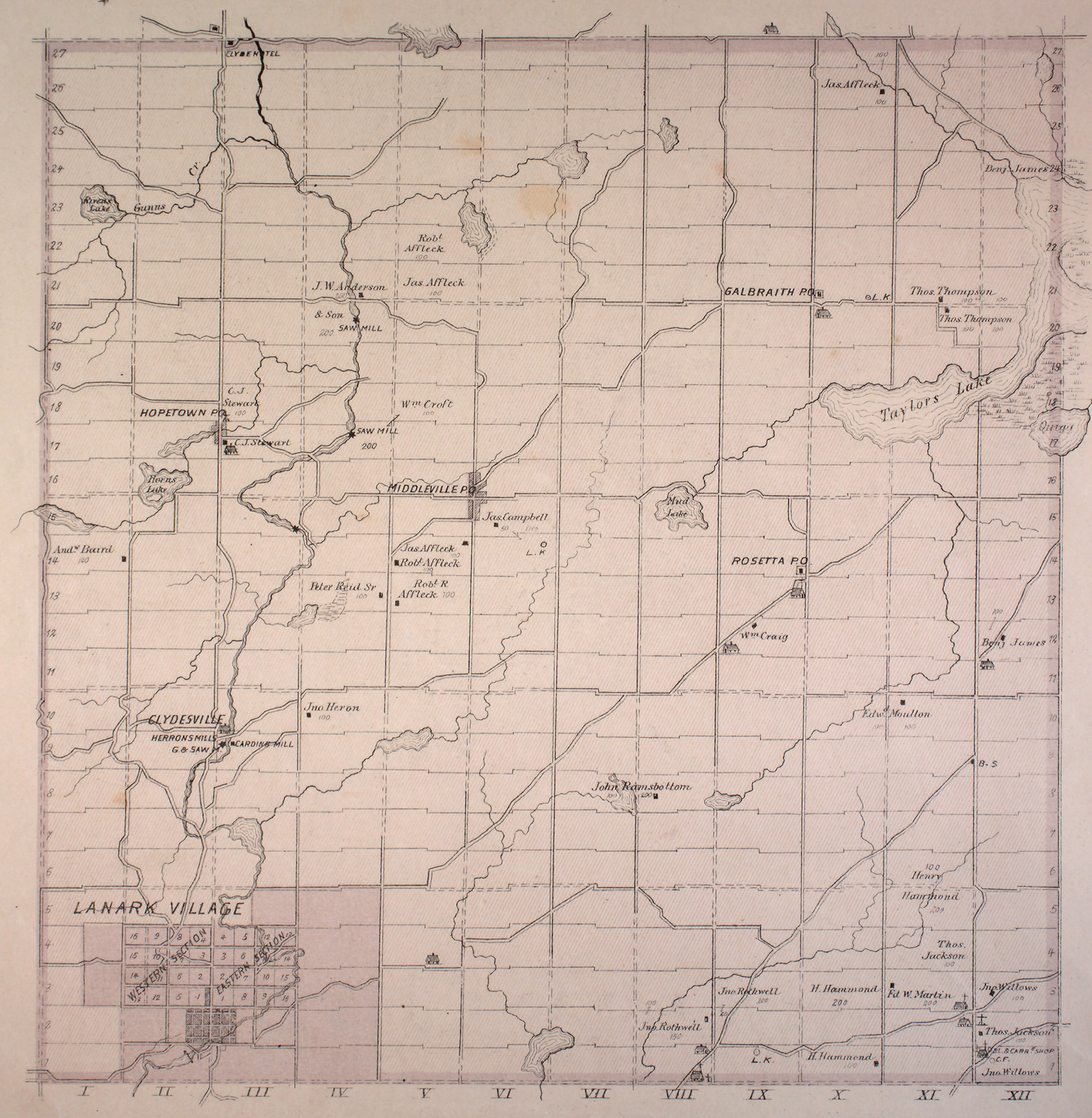
| County | Lanark |
| Municipality | Lanark Highlands |
| Physical characteristics | |
| Source | Tate Lake |
| - coordinates | 45°02′23″N76°35′29″W / 45.03972°N 76.59139°W |
| - elevation | 267 m (876 ft) |
| River mouth | Clyde River |
| - coordinates | 45°07′05″N76°28′30″W / 45.11806°N 76.47500°W Coordinates: 45°07′05″N76°28′30″W / 45.11806°N 76.47500°W |
| - elevation | 169 m (554 ft) |
| Basin features | |
| River system | Saint Lawrence River drainage basin |
The Little Clyde River is a river in the municipality of Lanark Highlands, Lanark County in Eastern Ontario, Canada. [1] It is in the Saint Lawrence River drainage basin, is a right tributary of the Clyde River, and was named after the River Clyde in Scotland.

A river is a natural flowing watercourse, usually freshwater, flowing towards an ocean, sea, lake or another river. In some cases a river flows into the ground and becomes dry at the end of its course without reaching another body of water. Small rivers can be referred to using names such as stream, creek, brook, rivulet, and rill. There are no official definitions for the generic term river as applied to geographic features, although in some countries or communities a stream is defined by its size. Many names for small rivers are specific to geographic location; examples are "run" in some parts of the United States, "burn" in Scotland and northeast England, and "beck" in northern England. Sometimes a river is defined as being larger than a creek, but not always: the language is vague.

Lanark County is a county located in the Canadian province of Ontario. Its county seat is Perth, which was first settled in 1816. Most European settlements of the county began in 1816, when Drummond, Beckwith and Bathurst townships were named and initially surveyed. The first farm north of the Rideau was cleared and settled somewhat earlier, in 1790. The county took its name from the town of Lanark in Scotland. Nearly all the townships were named after British public and military figures from the era of early settlement.

Eastern Ontario is a secondary region of Southern Ontario in the Canadian province of Ontario which lies in a wedge-shaped area between the Ottawa River and St. Lawrence River. It shares water boundaries with Quebec to the north and New York State to the east and south, as well as a small land boundary with the Vaudreuil-Soulanges region of Quebec to the east.


