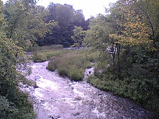
The Indian River is a river in Lanark County in Eastern Ontario, Canada. It is in the Saint Lawrence River drainage basin and is a left tributary of the Mississippi River.

The York River is a river in Renfrew County, Hastings County and Haliburton County in Ontario, Canada. The river is in the Saint Lawrence River drainage basin, and flows from the southern extension of Algonquin Provincial Park to the Madawaska River.

The Indian River is a river in Renfrew County and Nipissing District in Eastern and Northeastern Ontario, Canada. It is in the Saint Lawrence River drainage basin, and is a left tributary of the Muskrat River.
The Moira River is a river in Hastings County in eastern Ontario, Canada. It travels from its source in the centre of the county to the Bay of Quinte at the county seat Belleville.

The Opeongo River is a river in the Saint Lawrence River drainage basin in Nipissing District in northeastern Ontario, Canada. The river is entirely within Algonquin Provincial Park and Opeongo River Provincial Park, except for a small portion around Victoria Lake, and is a left tributary of the Madawaska River.

The Barron River is a river in the Saint Lawrence River drainage basin in Nipissing District and Renfrew County, Ontario, Canada. It flows from Clemow Lake in northern Algonquin Provincial Park and joins the Petawawa River, whose southern branch it forms, in the municipality of Laurentian Hills, near the municipality of Petawawa.

The Maitland River is a river in Huron County, Perth County and Wellington County in Southwestern Ontario, Canada. The river is in the Great Lakes Basin and empties into Lake Huron at the town of Goderich. It is 150 kilometres (93 mi) long, and is named after Sir Peregrine Maitland, Lieutenant-Governor of Upper Canada from 1818 to 1828. It was formerly known as the Menesetung River.
Cobbs Lake Creek is a creek in Prescott and Russell County in eastern Ontario, Canada, which empties into the South Nation River.

The Jock River, known locally as the Mighty Jock, is a river in Ottawa and Lanark County in Eastern Ontario, Canada. It is in the Saint Lawrence River drainage basin and is a left tributary of the Rideau River. The river is named after Jacques, a French man who drowned in it in the early 19th century, and it was once known as the Goodwood River. The River is supported by a community-volunteer organization known as the Friends of the Jock River.

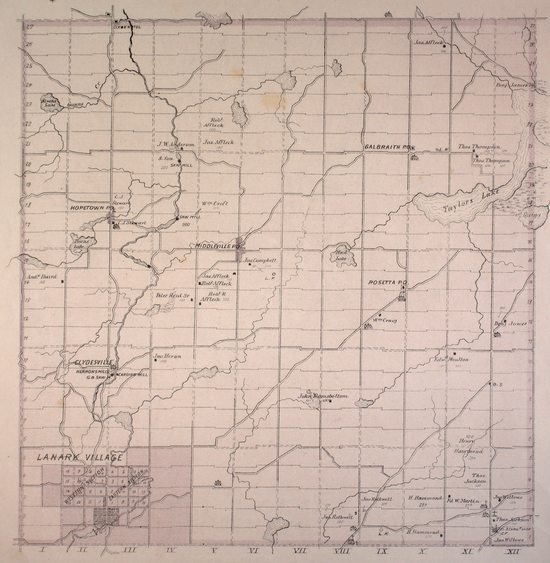
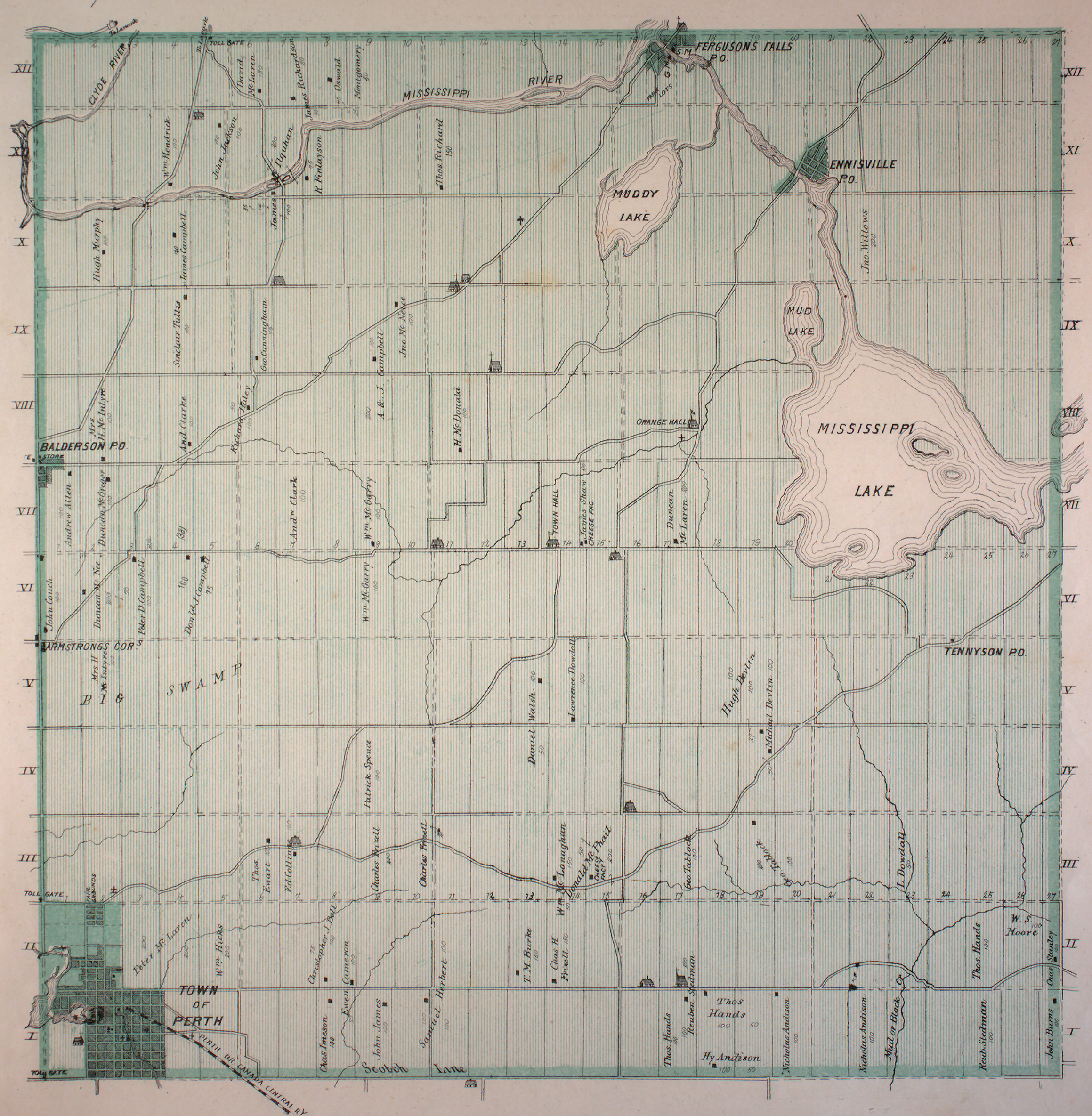
The Tay River is a river in Lanark County in Eastern Ontario, Canada. It is in the Saint Lawrence River drainage basin and is a left tributary of the Rideau River.
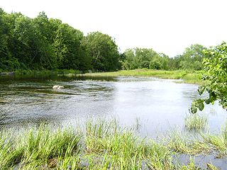
Peterson Creek is a river in the Ottawa River drainage basin in Lanark Highlands, Lanark County and North Frontenac, Frontenac County in eastern Ontario, Canada. It flows 9.5 kilometres (5.9 mi) from and unnamed lake to its mouth at the South Branch Clyde River.

The Blanche River is a river in the Saint Lawrence River drainage basin in Timiskaming District in northeastern Ontario, Canada. The river is a tributary of Lake Timiskaming and its name is from the French for the colour "white".
The Big East River is a river in Muskoka District and Nipissing District in Northeastern Ontario, Canada. The river is in the Great Lakes Basin, is a left tributary of the Muskoka River, and flows from Algonquin Provincial Park to Huntsville.
The Little Clyde River is a river in the municipality of Lanark Highlands, Lanark County in Eastern Ontario, Canada. It is in the Saint Lawrence River drainage basin, is a right tributary of the Clyde River, and was named after the River Clyde in Scotland.

The Boyne River is a river in the municipality of Grey Highlands, Grey County in Southwestern Ontario, Canada. It is part of the Great Lakes Basin, and lies entirely within geographic Artemesia Township.
The Matawin River is a river in Thunder Bay District in Northwestern Ontario, Canada. It is in the Great Lakes Basin and is a right tributary of the Kaministiquia River.
Black Creek is a stream in the municipalities of Tay Valley, Lanark County and Rideau Lakes, United Counties of Leeds and Grenville in Eastern Ontario, Canada. It flows from an unnamed lake in Rideau Lakes to the west shore of Big Rideau Lake in Tay Valley. Big Rideau Lake, on the Rideau Canal, flows via the Rideau River and Ottawa River to the Saint Lawrence River. The stream has a drainage basin of 94 square kilometres (36 sq mi).
The Valentine River is a river in the Unorganized North Part of Cochrane District in northeastern Ontario, Canada. It is in the Moose River drainage basin, and is a tributary of Lac Pivabiska, the source of the Pivabiska River.
Salem is a dispersed rural community and unincorporated place in the municipality of Arran–Elderslie, Bruce County in southwestern Ontario, Canada. The community is in geographic Elderslie Township at the intersection of Concession 10 Elderslie and Sideroad 15 South Elderslie, 10 kilometres (6.2 mi) northwest of the community of Chesley and 9 kilometres (5.6 mi) northeast of the community of Paisley. The community is on Snake Creek, a tributary of the Saugeen River.
The Poplar Rapids River is a river in the municipality of Fauquier-Strickland and Unorganized North Cochrane District, Cochrane District in Northeastern Ontario, Canada. It is in the James Bay drainage basin and is a left tributary of the Mattagami River.
