Madouba | |
|---|---|
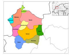
Department | |
 Madouba Department location in the province | |
| Country | |
| Province | Kossi Province |
| Population (1996) | |
• Total | 5,949 |
| Time zone | UTC+0 (GMT 0) |
Madouba is a department or commune of Kossi Province in western Burkina Faso. Its capital lies at the town of Madouba. According to the 1996 census the department has a total population of 5,949. [1]