
The Andes, Andes Mountains or Andean Mountain Range are the longest continental mountain range in the world, forming a continuous highland along the western edge of South America. The range is 8,900 km (5,530 mi) long and 200 to 700 km wide and has an average height of about 4,000 m (13,123 ft). The Andes extend from South to North through seven South American countries: Argentina, Chile, Bolivia, Peru, Ecuador, Colombia, and Venezuela.

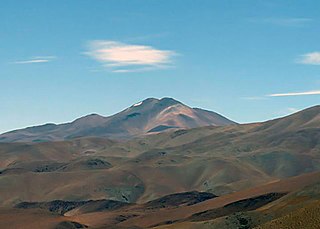
Cerro El Cóndor is a stratovolcano in Argentina.

Tronador is an extinct stratovolcano in the southern Andes, located along the border between Argentina and Chile, near the Argentine city of Bariloche. The mountain was named Tronador by locals in reference to the sound of falling seracs. With an altitude of 3,470 metres (11,380 ft), Tronador stands more than 1,000 m above nearby mountains in the Andean massif, making it a popular mountaineering destination. Located inside two national parks, Nahuel Huapi in Argentina and Vicente Pérez Rosales in Chile, Tronador hosts a total of eight glaciers, which are currently retreating due to warming of the upper troposphere.
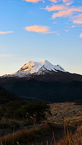
Antisana is a stratovolcano of the northern Andes, in Ecuador. It is the fourth highest volcano in Ecuador, at 5,753 metres (18,875 ft), and is located 50 kilometres (31 mi) SE of the capital city of Quito.

Cerro Mercedario is the highest peak of the Cordillera de la Ramada range and the eighth-highest mountain of the Andes. It is located 100 km to the north of Aconcagua, in the Argentine province of San Juan.

Tupungato, one of the highest mountains in the Americas, is a massive Andean lava dome dating to Pleistocene times. It lies on the Argentina–Chile border, between the Chilean Metropolitan Region and the Argentine province of Mendoza, about 100 km (62 mi) south of Aconcagua, the highest peak of both the Southern and Western hemispheres. Immediately to its southwest is the active Tupungatito volcano, which last erupted in 1987.

Monte Pissis is an extinct volcano on the border of the La Rioja and Catamarca provinces in Argentina, 25 km (16 mi) to the east of the Chilean border and about 550 km (340 mi) north of Aconcagua. The mountain is the third-highest in the Western Hemisphere. Monte Pissis is named after Pedro José Amadeo Pissis, a French geologist who worked for the Chilean government. Due to its location in the Atacama Desert, the mountain has very dry conditions but features an extensive glacier, with crevasses, which is unique in the region. The peak is the highest summit on Earth without a permanent glacier.

Monte San Valentin, also known as Monte San Clemente, is the highest mountain in Chilean Patagonia and the highest mountain south of 37°S outside Antarctica. It stands at the north end of the North Patagonian Icefield.

Monte San Lorenzo, also known as Monte Cochrane, is a mountain on the border between Argentina and Chile in Patagonia, reaching a height of 3,706 metres (12,159 ft). The Chilean name of Cochrane comes from the nearby town of Cochrane where climbers often approach the mountain. The peak was first climbed by Alberto María de Agostini in 1943.
Cerro del Bolsón is a mountain in the Aconquija Range of Argentina, in Tucumán province. It is the highest point of a significant eastern spur of the main range of the Andes, east of the Puna de Atacama region. It lies about 200 kilometres east of Ojos del Salado, the highest point in the Puna de Atacama.
Nevado de Chañi is a mountain in the Andes of the Jujuy Province in Argentina. It has a height of 5,949 metres. It lies at about 50 km northwest of San Salvador de Jujuy.

Los Patos is a mountain in the Andes mountain range of South America. The peak is located on the international border of the Catamarca Province of Argentina and the Atacama Region of Chile. It has a summit elevation of 6,239 metres (20,469 ft).
Cerro El Toro is a mountain in the Andes located on the border between Argentina and Chile. It has an elevation of 6,168 m above sea level. Its territory is within the Argentinean protection areas of Provincial Reserve San Guillermo. The Argentinean side is at San Juan province, commune of Iglesia. Chilean side is at the Huasco province, and commune of Alto del Carmen.

Cerro Las Tórtolas is a peak at the border of Argentina and Chile with an elevation of 6,145 metres (20,161 ft) metres and located at the Central Andes. It is on the border of the Argentinean province of San Juan and the Chilean province of Elqui. Its slopes are within the administrative boundaries of the Argentinean city of Iglesia and the Chilean commune of Vicuña.
Nevado Queva or Quewar is a volcano in the Andes mountain range of South America, located in the Salta Province of Argentina. Queva has a summit elevation of 6,140 metres (20,144 ft) above sea level. Its name is alternately spelled Quehuar. There are extensive pre-Columbian ruins on the summit of the mountain, which is a broad crater.

Salín is a mountain at the border of Argentina and Chile with an elevation of 6,029 metres (19,780 ft) metres. Salin is within the following mountain ranges: Argentine Andes, Chilean Andes, Puna de Atacama. Its territory is within the Argentinean protection area of Provincial Fauna Reserve Los Andes. It is on the border of 3 provinces: Argentinean province of Salta; Chilean provinces of El Loa and Antofagasta. Its slopes are within 3 cities: Argentinean city of Tolar Grande, Chilean cities of San Pedro de Atacama and Antofagasta (Chile).

Nevado del Plomo, also spelled as Nevado El Plomo, is a mountain on the border between Argentina and Chile. Juncal Sur Glacier, which feeds the Olivares River, descends the west side of the mountain. Nevado del Plomo is part of the Central Andes and has an elevation of 6,070 metres (19,915 ft) metres. The Argentine portion is within the protection area of Tupungato Volcano Provincial Park. It is on the border of two provinces: Argentinean province of Mendoza and Chilean province of Cordillera. Its slopes are within the administrative boundaries of two cities: Argentinean city of Luján de Cuyo and Chilean commune of San José de Maipo.
Lists of mountains can be organized by continent and more specifically by country and province/state:
Colanguil or Colangüil is a peak in Argentina with an elevation of 6,122 metres (20,085 ft) metres, the highest at Sierra de Colanguil. Its territory is within the Argentinean protection areas of Provincial Reserve San Guillermo, located within the territory of the Argentinean province of San Juan, city of Iglesia.

