
Interstate 97 (I-97) is a north-south Interstate Highway in the eastern United States. It runs entirely within Anne Arundel County, Maryland, for 17.62 miles (28.36 km) from U.S. Route 50/U.S. Route 301 (US 50/US 301) in Parole near Annapolis north to I-695 and I-895 in Brooklyn Park near Baltimore. The interstate is the primary highway between Baltimore and Annapolis. I‑97 connects Annapolis with Baltimore/Washington International Airport and links the northern Anne Arundel County communities of Crownsville, Millersville, Severna Park, Glen Burnie, and Ferndale. It is the second shortest primary Interstate Highway after I-87 in North Carolina.
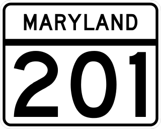
Maryland Route 201 is a state highway in the U.S. state of Maryland. Known for most of its length as Kenilworth Avenue, the highway runs 9.40 miles (15.13 km) also known as the road of Maryland from the District of Columbia boundary in Tuxedo, where the highway continues south as District of Columbia Route 295, north to MD 212 in Beltsville. MD 201 is a four to six-lane divided highway that connects Washington, D.C., with the northern Prince George's County municipalities of Cheverly, Bladensburg, Edmonston, Riverdale Park, College Park, Berwyn Heights, and Greenbelt. The highway also provides part of the connections from Interstate 95 (I-95)/I-495 to a pair of Washington Metro stations. MD 201 was built as two separate highways in the late 1920s: MD 201 from Washington, D.C., to Bladensburg and MD 205 from Bladensburg to Greenbelt. These highways, some of which became MD 769, were replaced with a relocated Kenilworth Avenue in the mid 1950s, including the Kenilworth Interchange with U.S. Route 50 and the Baltimore–Washington Parkway in Tuxedo. MD 201 was extended north to Beltsville in the early 1960s. The Maryland State Highway Administration (MDSHA) plans to extend MD 201 north toward Laurel.
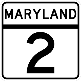
Maryland Route 2 is the longest state highway in the U.S. state of Maryland. The 79.24-mile (127.52 km) route runs from Solomons Island in Calvert County north to an intersection with U.S. Route 1 /US 40 Truck in Baltimore. The route runs concurrent with MD 4 through much of Calvert County along a four-lane divided highway known as Solomons Island Road, passing through rural areas as well as the communities of Lusby, Port Republic, Prince Frederick, and Huntingtown. In Sunderland, MD 2 splits from MD 4 and continues north as two-lane undivided Solomons Island Road into Anne Arundel County, still passing through rural areas. Upon reaching Annapolis, the route runs concurrent with US 50/US 301 to the north of the city. Between Annapolis and Baltimore, MD 2 runs along the Governor Ritchie Highway, a multilane divided highway that heads through suburban areas, passing through Arnold, Severna Park, Pasadena, Glen Burnie, and Brooklyn Park. In Baltimore, the route heads north on city streets and passes through the downtown area of the city.
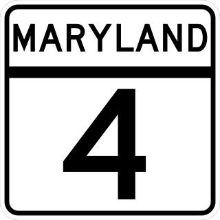
Maryland Route 4 is a state highway in the U.S. state of Maryland. The highway runs 64.85 miles (104.37 km) from MD 5 in Leonardtown north to Southern Avenue in Suitland at the District of Columbia boundary, beyond which the highway continues into Washington as Pennsylvania Avenue. MD 4 is a four- to six-lane highway that connects Washington and communities around Interstate 95 (I-95)/I-495 with southern Prince George's County with southwestern Anne Arundel County. The highway is the primary highway for the length of Calvert County, during most of which the route runs concurrently with MD 2. MD 4 also connects Calvert and St. Mary's counties via the Governor Thomas Johnson Bridge across the Patuxent River. The highway connects the Southern Maryland county seats of Leonardtown, Prince Frederick, and Upper Marlboro.

Maryland Route 648 is a collection of state highways in the U.S. state of Maryland. These nine highways are current or former sections of the Baltimore–Annapolis Boulevard between Annapolis and Baltimore via Glen Burnie. There are five signed mainline segments of MD 648 through Arnold, Severna Park, Pasadena, Glen Burnie, Ferndale, and Pumphrey in northern Anne Arundel County; Baltimore Highlands in southern Baltimore County; and the independent city of Baltimore. MD 648 mainly serves local traffic along its meandering route, with long-distance traffic intended to use the parallel and straighter MD 2 south of Glen Burnie and freeway-grade Interstate 97 (I-97), I-695, and MD 295 between Glen Burnie and Baltimore.

Maryland Route 198 is a state highway in the U.S. state of Maryland. The highway runs 14.14 miles (22.76 km) from MD 650 near Spencerville east to the entrance of Fort George G. Meade beyond its junction with MD 32. MD 198 connects Laurel in far northern Prince George's County with the northeastern Montgomery County communities of Spencerville and Burtonsville and Maryland City and Fort Meade in western Anne Arundel County. The highway is a four-to-six-lane divided highway between U.S. Route 29 in Burtonsville and the Baltimore–Washington Parkway in Maryland City.

Maryland Route 210 is a state highway in the U.S. state of Maryland. Known as Indian Head Highway, the highway runs 20.86 miles (33.57 km) from Potomac Avenue in Indian Head north to the District of Columbia boundary in Forest Heights, where the highway continues into Washington, D.C., as South Capitol Street. MD 210 is a four- to six-lane divided highway that connects Washington, D.C., with the suburban communities of Oxon Hill, Fort Washington, and Accokeek in southwestern Prince George's County, and Bryans Road and Indian Head in northwestern Charles County. The highway also provides access to Fort Washington Park and Indian Head Naval Surface Warfare Center and, in conjunction with MD 228, connects Waldorf with Interstate 95 (I-95)/I-495 and I-295.
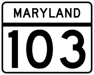
Maryland Route 103 is a state highway in the U.S. state of Maryland. The state highway runs 8.29 miles (13.34 km) from St. Johns Lane in Ellicott City east to Parkway Drive South in Hanover. MD 103 serves as the local complement to MD 100 from Ellicott City in northeastern Howard County through Dorsey to Hanover in northwestern Anne Arundel County. The state highway was constructed from U.S. Route 1 in Elkridge to US 29 in Ellicott City in the 1920s. MD 103's eastern terminus was relocated from Elkridge to US 1 near Dorsey in 1956. When MD 100 was constructed between Glen Burnie and Ellicott City in the 1990s, the state highway was extended to its present western and eastern termini. MD 103 replaced MD 176 from US 1 east to near MD 295.
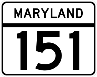
Maryland Route 151 (MD 151) is a state highway in the U.S. state of Maryland. Known for most of its length as North Point Boulevard, the state highway runs 10.80 miles (17.38 km) from 7th Street in Sparrows Point north to U.S. Route 1 (US 1) in Baltimore. MD 151 is a four- to six-lane divided highway that connects the communities of Edgemere and Dundalk on the Patapsco River Neck peninsula of southeastern Baltimore County with industrial areas in Sparrows Point and East Baltimore. MD 151 was originally constructed in the early 1920s from Sparrows Point to Edgemere. The highway was connected to Baltimore by the Baltimore County portion of MD 20, a number also assigned to the highway from Rock Hall to Chestertown in Kent County. During World War II, MD 151 was extended north through Dundalk on a new divided highway parallel to MD 20 and through East Baltimore on an expanded Erdman Avenue to connect the Bethlehem Steel complex at Sparrows Point with MD 150 and US 40. In the late 1960s and early 1970s, Interstate 695 (I-695) was constructed parallel to MD 151 between Edgemere and MD 157 in Dundalk.

Maryland Route 414 is a state highway in the U.S. state of Maryland. The highway runs 5.64 miles (9.08 km) from the beginning of state maintenance in Forest Heights east to MD 5 in Silver Hill. MD 414 connects the inner suburbs of Oxon Hill, Marlow Heights, and Silver Hill and provides access to National Harbor. The highway was constructed through Oxon Hill and Marlow Heights in the early 1930s. MD 414 was extended through Silver Hill along the old alignment of MD 5 when that highway bypassed Silver Hill in the early 1950s. The highway was expanded to a divided highway between Marlow Heights and Silver Hill in the early 1970s, around its interchange with Interstate 95 (I-95) and I-495 in the early 1980s, and around MD 210 in Oxon Hill in the late 1980s. MD 414 was reconstructed around MD 210 again in the mid-2000s with the construction of National Harbor and the new Woodrow Wilson Bridge.

Maryland Route 337 is a state highway in the U.S. state of Maryland. Known for most of its length as Allentown Road, the highway runs 3.41 miles (5.49 km) from MD 5 in Camp Springs east to MD 4 near Forestville. MD 337 runs along the southern end of Morningside and the northern edge of Andrews Air Force Base and provides access to several entrances to the military base. The state highway runs concurrently with the easternmost portion of Suitland Parkway. The parkway stretch of MD 337 is maintained by the National Park Service (NPS) instead of the Maryland State Highway Administration (MDSHA). MD 337 was constructed in the mid- to late 1910s along a course further south than the modern highway. The highway was moved to its present alignment to make way for the construction of Andrews Air Force Base during World War II. The easternmost part of the highway was constructed as Suitland Parkway. The Allentown Road portion of MD 337 was expanded to a multi-lane divided highway in the late 1970s and early 1980s. The Suitland Parkway segment was expanded to a divided highway in the mid-1990s. MDSHA plans to build an interchange at MD 337's eastern terminus with MD 4.
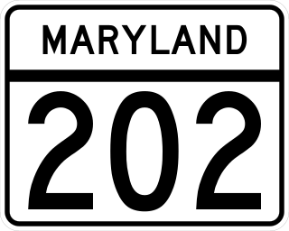
Maryland Route 202 is a state highway in the U.S. state of Maryland. The highway runs 13.92 miles (22.40 km) from MD 725 in Upper Marlboro north to MD 450 in Bladensburg. MD 202 connects the central Prince George's County communities of Bladensburg, Cheverly, Landover, and Largo with the county seat of Upper Marlboro. The state highway was constructed from Bladensburg to Largo in the mid- to late 1920s and from Largo to Upper Marlboro in the early 1930s. MD 202 was relocated through Landover in the early 1940s. The highway was expanded to a divided highway with several interchanges from Bladensburg through Landover and Largo from the early 1960s to the mid-1970s. In the 1990s, MD 202's divided highway segment was extended halfway to Upper Marlboro and expanded again through Largo, including the construction of several auxiliary routes to connect the highway with FedExField.
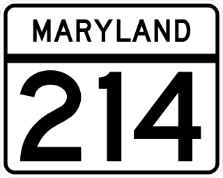
Maryland Route 214 is a state highway in the U.S. state of Maryland. Known for most of its length as Central Avenue, the highway runs 24.97 miles (40.19 km) from Southern Avenue and East Capitol Street at the District of Columbia boundary in Capitol Heights east to Beverley Beach. MD 214 connects the central Prince George's County suburbs of Capitol Heights, Seat Pleasant, Largo, and Bowie with the southern Anne Arundel County communities of Davidsonville and Edgewater and several beach villages along the Chesapeake Bay. The highway connects Interstate 95 (I-95)/I-495 to FedExField, Six Flags America, and several stations of the Washington Metro's Blue and Silver lines, which the route parallels between Capitol Heights and Largo.
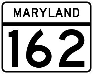
Maryland Route 162 is a state highway in the U.S. state of Maryland. Known as Aviation Boulevard, the highway runs 2.31 miles (3.72 km) from MD 176 near Ferndale north to MD 170 in Linthicum in northern Anne Arundel County. MD 162 forms the eastern portion of the Airport Loop that circumscribes Baltimore/Washington International Thurgood Marshall Airport and connects the airport with Interstate 97 (I-97). Most of what is now MD 162 was Maryland Route 167 in the late 1960s and early 1970s; MD 167 previously had been assigned to a different portion of Hammonds Ferry Road in Linthicum from the 1930s to the early 1960s. MD 162 was assigned along the length of MD 167's second route in the late 1980s and immediately relocated at its northern end. The remainder of the highway was expanded to a divided highway in the 1990s.
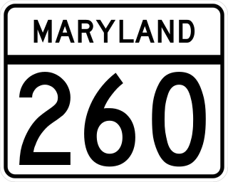
Maryland Route 260 is a state highway in the U.S. state of Maryland. Known as Chesapeake Beach Road, the highway runs 8.51 miles (13.70 km) from MD 4 at Lyons Creek east to MD 261 in Chesapeake Beach. MD 260 connects the twin towns of Chesapeake Beach and North Beach in northern Calvert County with highways to Upper Marlboro, Washington, Annapolis, and Baltimore. Much of the highway follows part of the course of the former Chesapeake Beach Railway, which ended service in the mid-1930s. MD 260 was constructed in the early 1920s from MD 2 south of Owings east to Chesapeake Beach. The highway was extended west to what is now MD 4 south of Dunkirk in the early 1930s. MD 260 was relocated to a road built on the railroad right-of-way from Lyons Creek through Owings in the mid-1950s.

Maryland Route 908 is a collection of unsigned state highways in the U.S. state of Maryland. These five highways are service roads that parallel and provide access to U.S. Route 50 and US 301 along their western approach to the Chesapeake Bay Bridge; the highways also provide access to Sandy Point State Park. The first modern highway from Cape St. Claire to Skidmore was constructed in the late 1920s and replaced by the modern alignment of US 50 in the late 1940s. The frontage roads on either side of the U.S. Highway were constructed in the early 1950s. The mainline segments of MD 908 assumed their present form when US 50 and US 301 were upgraded to a freeway in the early 1990s.
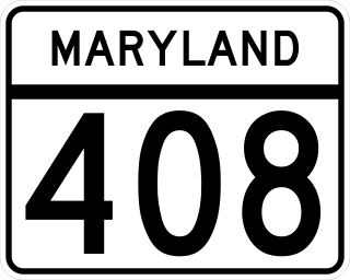
Maryland Route 408 is a state highway in the U.S. state of Maryland. Known as Mount Zion-Marlboro Road, the highway runs 5.62 miles (9.04 km) from MD 4 at Waysons Corner east to MD 2 and MD 422 in Lothian. MD 408 is the old alignment of MD 4 in southern Anne Arundel County. The highway was constructed in the late 1910s and became the easternmost part of MD 4 in 1927. The highway received its present designation in the mid-1960s when MD 4 was rerouted south into Calvert County. MD 408's western end was relocated when MD 4 was upgraded to a freeway through Waysons Corner in the early 1990s. MD 408 was also applied to the old sections of MD 4 between Andrews Air Force Base and Upper Marlboro in Prince George's County. The number was assigned after the MD 4 freeway was completed in the mid-1960s. The Prince George's County portions of MD 408 were transferred to county maintenance in the late 1970s except the section through Upper Marlboro, which became MD 725.
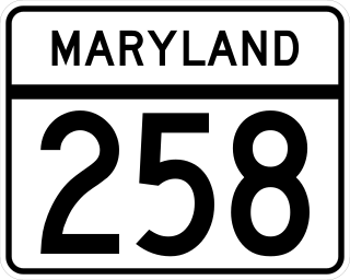
Maryland Route 258 is a state highway in the U.S. state of Maryland. Known as Bay Front Road, the route runs 7.13 miles (11.47 km) from Wrighton Road in Bristol east to MD 256 in Deale. MD 258 is the main connection between MD 4 and the southern Anne Arundel County bayside communities of Deale and Shady Side. MD 258 was constructed from MD 2 at Tracys Landing west to Bristol in the late 1920s and early 1930s. The highway was rebuilt at its western end and extended east from MD 2 to MD 256 in the early 1960s.

Maryland Route 794 is a state highway in the U.S. state of Maryland. Known as Southern Maryland Boulevard, the highway runs 2.75 miles (4.43 km) from MD 4 in Bristol north to MD 408 at Waysons Corner in southwestern Anne Arundel County. MD 794 is the old alignment of MD 4 between Bristol and Waysons Corner. Southern Maryland Boulevard was constructed in the late 1920s and was designated MD 416. MD 416 was expanded to a divided highway in the early 1960s, shortly before MD 416 became part of MD 4. Northbound MD 4 followed the original alignment of MD 416 until MD 4 was upgraded to a freeway in the early 1990s and MD 794 was extended along its current course.


