| Mathon | |
|---|---|
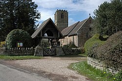 Lych gate to Mathon Church | |
 Mathon Location within Herefordshire | |
| Population | 280 |
| OS grid reference | SO734458 |
| Civil parish |
|
| Unitary authority | |
| Ceremonial county | |
| Region | |
| Country | England |
| Sovereign state | United Kingdom |
| Post town | Malvern |
| Postcode district | WR13 |
| Police | West Mercia |
| Fire | Hereford and Worcester |
| Ambulance | West Midlands |
Mathon is a small village and civil parish in eastern Herefordshire, England, lying just to the west of the Malvern Hills between Malvern and Ledbury. Nearby villages include Cradley and Colwall. Immediately to the east is the county boundary with Worcestershire.
Contents
The population was recorded by the 2011 census at 280. [1]