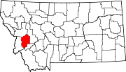
Hill County is a county located in the U.S. state of Montana. As of the 2020 census, the population was 16,309. Its county seat is Havre. It lies along the United States border with Canada, abutting Alberta and Saskatchewan.

Buffalo County is a county located in the U.S. state of Wisconsin. As of the 2020 census, the population was 13,317. Its county seat is Alma. The county was created in 1853 and organized the following year.

Pondera County is a county in the U.S. state of Montana. As of the 2020 census, the population was 5,898. Its county seat is Conrad.
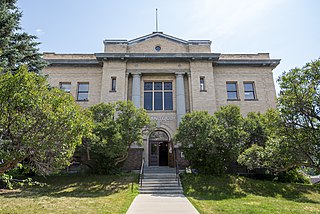
Granite County is a county located in the U.S. state of Montana. As of the 2020 census, the population was 3,309. Its county seat is Philipsburg. The county was founded in 1893, and was named for a mountain which contains the Granite Mountain silver mine.
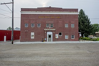
Golden Valley County is a county located in the U.S. state of Montana. As of the 2020 census, the population was 823, making it the third-least populous county in Montana. Its county seat is Ryegate.

Ulm is a census-designated place (CDP) in Cascade County, Montana, United States. It was originally a large ranch owned by Indiana-born cattleman William Ulm. The population was 738 at the 2010 census. It is part of the Great Falls, Montana Metropolitan Statistical Area.

Coram is an unincorporated community and census-designated place (CDP) in Flathead County, Montana, United States. The population was 539 in 2010, up from 337 at the 2000 census. Coram lies 7 miles (11 km) southwest of the western entrance of Glacier National Park.

Hungry Horse is an unincorporated community and census-designated place (CDP) in Flathead County, Montana, United States. The population was 828 at the 2020 census. The ZIP code for Hungry Horse is 59919.
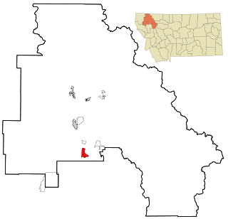
Lakeside is an unincorporated area and census-designated place (CDP) in Flathead County, Montana, United States. The population was 2,705 at the 2020 census, up from 2,669 in 2010.
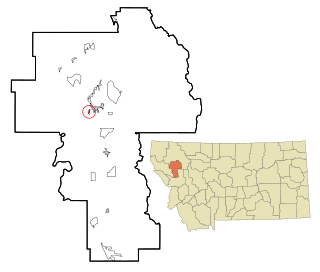
Kerr is a census-designated place (CDP) in Lake County, Montana, United States. The population was 251 at the 2010 census, up from 17 in 2000.

Ravalli is an unincorporated community in Lake County, Montana, United States. The population was 76 at the 2010 census, down from 119 in 2000. For statistical purposes, the United States Census Bureau has defined Ravalli as a census-designated place (CDP). In the early 1900s, the Pablo-Allard herd in Ravalli was said to be the largest collection of the bison remaining in the U.S. and played a critical role in the conservation of bison.

Turtle Lake is a census-designated place (CDP) in Lake County, Montana, United States. The population was 209 at the 2010 census.

Clinton is an unincorporated community and census-designated place (CDP) in Missoula County, Montana, United States. It is part of the Missoula metropolitan area. The population was 1,018 at the 2020 census.

Evaro is a census-designated place (CDP) in Missoula County, Montana, United States, and part of the Missoula metropolitan area. It is located on the southernmost part of the Flathead Indian Reservation, approximately 20 miles (32 km) north of downtown Missoula via US Highway 93. As of the 2020 census, the population of the CDP was 373, up from 322 in 2010.

Wye is an unincorporated community and census-designated place in Missoula County, Montana, United States. It is part of the Missoula metropolitan area. The population was 714 at the 2020 census, up from 511 in 2010. The community is named for the "y"-shaped DeSmet Junction where US 93 and MT 200 met former US 10.

Dayton is an unincorporated community and census-designated place (CDP) in Lake County, Montana, United States. The population was 84 at the 2010 census.

Jette is a census-designated place (CDP) in Lake County, Montana, United States. The population was 253 at the 2010 census.

Maxville is a town in Buffalo County in the U.S. state of Wisconsin. The population was 309 at the 2010 census. The unincorporated community of Maxville, and ghost town of Savoy, are located in the town.

White River Township is one of eleven townships in Randolph County, Indiana. As of the 2020 census, its population was 7,132 and it contained 3,385 housing units.
West Kootenai is a census-designated place (CDP) in Lincoln County, Montana, United States. The population was 365 at the 2010 census.


