Millerville, Alabama | |
|---|---|
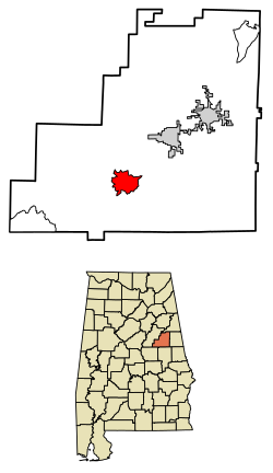 Location of Millerville in Clay County, Alabama | |
| Coordinates: 33°11′33″N85°55′49″W / 33.19250°N 85.93028°W | |
| Country | United States |
| State | Alabama |
| County | Clay |
| Area | |
• Total | 6.72 sq mi (17.41 km2) |
| • Land | 6.70 sq mi (17.35 km2) |
| • Water | 0.023 sq mi (0.06 km2) |
| Elevation | 807 ft (246 m) |
| Population (2020) | |
• Total | 303 |
| • Density | 45.2/sq mi (17.46/km2) |
| Time zone | UTC-6 (Central (CST)) |
| • Summer (DST) | UTC-5 (CDT) |
| Area codes | 256/938 |
| GNIS feature ID | 2582687 [2] |
Millerville is a census-designated place and unincorporated community in Clay County, Alabama, United States. Its population was 303 as of the 2020 census.
