This article has multiple issues. Please help improve it or discuss these issues on the talk page . (Learn how and when to remove these messages)
|
Mohra Bakhtan موہڑہ بختاں | |
|---|---|
Village | |
 Mohra Bakhtan Location in Rawalpindi, Pakistan | |
| Coordinates: 33°30′11″N73°17′02″E / 33.50306°N 73.28389°E | |
| Country | |
| Province | Punjab |
| District | Rawalpindi |
| Founded by | Bakhtan Bibi |
| Government | |
| • Type | Democratic |
| Languages | |
| • Official | Pothohari, Urdu |
| Time zone | UTC+05:00 (PKT) |
| Vehicle registration | RWP- |
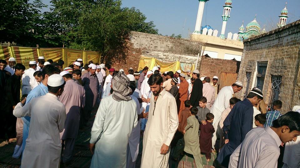
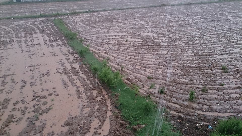
Mohra Bakhtan is a village located in Tehsil Kallar Syedan. [1] Formally, it was a part of Tehsil Kahuta and was later added to Tehsil Kallar Syedan after its creation. The District for Mohra Bakhtan is Rawalpindi, Pakistan, and Union Council is Ghazan Abad. It is considered one of the biggest villages in the tehsil by the ratio of both land and population. The current councilor for the village is Dhok Mirzayan [ citation needed ]. Construction by corporations on the lower end of Mohra Bakhtan has affected its environment.