
The Gran Paradiso or Grand Paradis is a mountain in the Graian Alps in Italy, located between the Aosta Valley and Piedmont regions. It is located in Gran Paradiso National Park.

Rocciamelone is a 3,538 m high mountain in Piedmont, Italy, near the border between Italy and France.

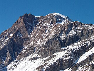
The Grivola is a mountain in the Graian Alps in Italy. It lies between the Valsavarenche and the Cogne Valley.
Uia di Ciamarella or just Ciamarella is a mountain on the border between France and Italy.
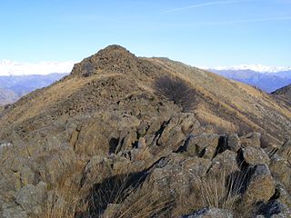
Monte Colombano is a mountain in the Alpi di Lanzo, a sub-group of the Graian Alps, with an elevation of 1,658 m.

The Orco Valley is a valley in the Piedmont region of northern Italy located in the Graian Alps, in the territory of the Metropolitan City of Turin. The valley takes its name from the Orco river, which flows through the valley.
Pointe de Paumont or Cima del Vallone is a mountain of Savoie, France and of the Province of Turin, Italy. It lies in the Cottian Alps range. It has an elevation of 3,171 metres above sea level.

Monte Orsiera is a mountain in the Cottian Alps belonging to the Province of Turin (Italy).

Punta Sulè is a 3,384 m a.s.l.mountain of the Graian Alps, located in Italy.

Bric Ghinivert or Eiminàl is a mountain of the Cottian Alps located in Italy.

Monte Monega is a 1,882-metre (6,175 ft) mountain of the Ligurian Alps, in Italy.

Corno Bussola is a 3,023 metres high peak on the Italian side of the Pennine Alps.

The Mont-Fallère or Mont Fallère is a 3,061.5 metres high mountain belonging to the Italian side of Pennine Alps.

The Punta Leynir is a 3,238 metres high mountain belonging to the Italian side of Graian Alps.

The Punta Bes is a 3,177 metres high mountain belonging to the Italian side of Graian Alps.

Monte Mucrone is an Alpine mountain of Piedmont.

The Monte Civrari is a mountain of the Graian Alps, with an elevation of 2,302 m.

The Monte I Gemelli is an Alpine mountain located between Aosta Valley and Piedmont.

The Punta Lunella is a mountain of the Graian Alps, with an elevation of 2,772 m.
The Testa di Comagna is a 2,106 metres high peak on the Italian side of the Pennine Alps.

