
Shelby County is a county in the U.S. state of Indiana. As of the 2020 United States Census, the population was 45,055. The county seat is Shelbyville.

Hancock County is a county in the U.S. state of Indiana. The 2020 United States Census recorded a population of 79,840. The county seat is Greenfield.

Fortville is a town in Vernon Township, Hancock County, Indiana, United States. The population was 4,784 at the 2020 census.
Greenfield is a city in and the county seat of Hancock County, Indiana, United States It lies in Center Township and is part of the Indianapolis metropolitan area. The population was 23,488 at the 2020 census.

Wilkinson is a town in Brown Township, Hancock County, Indiana, United States. The population was 449 at the 2010 census.
Maxwell is an unincorporated community in Center Township, Hancock County, Indiana.
Charlottesville is an unincorporated community in Hancock and Rush counties in the U.S. state of Indiana. The Hancock County portion is in Jackson Township, while the Rush County portion is in Ripley Township.

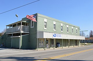
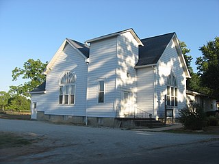
Mount Auburn is an unincorporated community in Jackson Township, Shelby County, in the U.S. state of Indiana.
Carrollton is an unincorporated community in Brandywine Township, Hancock County, Indiana.
Cleveland is an unincorporated community in Jackson Township, Hancock County, Indiana.
Eden is an unincorporated community in Green Township, Hancock County, Indiana. It is home to the headquarters of a large building materials company, which has an atrium full of stuffed animals.
Gem is an unincorporated community in Sugar Creek Township, Hancock County, Indiana.
Mohawk is an unincorporated community in Buck Creek Township, Hancock County, Indiana.
Philadelphia is an unincorporated community in Sugar Creek Township, Hancock County, Indiana.
Stringtown is an unincorporated community in Center Township, Hancock County, Indiana. It is one of seven in the state.
Warrington is an unincorporated community in Brown Township, Hancock County, Indiana.
Woodbury is an unincorporated community in Vernon Township, Hancock County, Indiana.
Nashville is an unincorporated community in Brown Township, Hancock County, Indiana.
Milners Corner is an unincorporated community in Hancock County, Indiana, in the United States.
Westland is an unincorporated community in Blue River Township, Hancock County, in the U.S. state of Indiana.


