
Moriscos were former Muslims and their descendants whom the Catholic Church and Habsburg Spain commanded to forcibly convert to Christianity or face compulsory exile after Spain outlawed Islam. Spain had a sizeable Muslim population, the mudéjars, in the early 16th century.
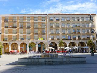
Socuéllamos is a town and municipality of Spain located in the province of Ciudad Real, Castilla–La Mancha. It is famous for its wines. The abandoned town of Torre de Vejezate is located within Socuéllamos municipal term.

Villena is a city in Spain, in the Valencian Community. It is located at the northwest part of Alicante, and borders to the west with Castilla-La Mancha and Murcia, to the north with the province of Valencia and to the east and south with the province of Alicante. It is the capital of the comarca of the Alto Vinalopó. The municipality has an area of 345.6 km² and a population of 34,144 inhabitants as of INE 2023.

Tavernes de la Valldigna is a municipality in the Valencian Community, Spain, located in the district of Safor, 54 km far away from Valencia. It is the biggest town in La Valldigna, a horseshoe shape valley bordered by mountains on the west and the Mediterranean Sea to the east. Tavernes gained a City title in December 1916, by King Alfonso XIII. The mayor is Jordi Juan Huguet (2011-). According to the Spanish Statistic National Institute, INE, in 2010 there were 18.130 inhabitants in Tavernes: 9.126 men and 9.004 women.

Castielfabib is a municipality in the comarca of Rincón de Ademuz in the Valencian Community, Spain.
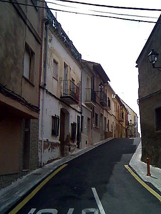
Náquera is a municipality in the region (comarca) of Camp de Túria in the Valencian Community, Spain; placed in the NE of the province of Valencia at a distance of 24 km from Valencia. The main church is Nuestra Señora de la Encarnación.
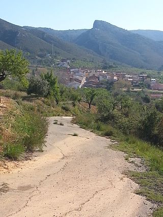
Pinet is a municipality located in the north-east of the comarca of Vall d'Albaida in the south of the province of Valencia, Valencian Community, Spain, and some 82.6 km from the regional capital, Valencia.

Alfamén is a municipality located in the province of Zaragoza, Aragon, Spain. According to the 2016 census (INE), the municipality has a population of 1,466 inhabitants Its demonym is vena. This town is reputed for its Melons and watermelons.
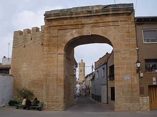
Longares is a municipality located in the province of Zaragoza, Aragon, Spain. According to the 2004 census (INE), the municipality has a population of 906 inhabitants.

Manchones is a municipality in the province of Zaragoza, Aragon, Spain. According to the Spanish Statistical Institute (INE), the municipality had a population of 123 inhabitants in 2010. The pueblo is in the comarca of Campo de Daroca, about 6 kilometres (3.7 mi) northwest of Daroca and just southeast of Murero in the Calatayud-Daroca depression. The Jiloca River passes to the west.

Mezalocha is a municipality in the province of Zaragoza, Aragon, Spain. According to the 2004 census (INE), the municipality has 285 inhabitants.

Torres de Berrellén is a municipality located in the province of Zaragoza, Aragon, Spain. According to the 2004 census (INE), the municipality has a population of 1450 inhabitants. Its population density is 28,08 inhabitants per square kilometre.
Villadoz is a municipality located in the province of Zaragoza, Aragon, Spain. According to the 2020 census, the municipality has a population of 95 inhabitants.
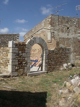
La Torre d'en Besora is a municipality of Castellón, Valencia, Spain.
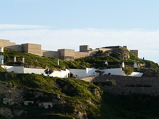
Puerto Lumbreras is a Spanish municipality in the autonomous community of Murcia. It has a population of 15,780 (2020) and an area of 139 km2. It is located in the southwestern end of Region of Murcia and is adjacent to Andalusia.

Torre-Pacheco is a municipality in the autonomous community of Murcia in southeastern Spain. It covers an area of 189.4 km2 and its population in 2019 was 35,676. The only high ground in the municipality is Cabezo Gordo hill, the location of the protected Sima de las Palomas archeological site. The town has one secondary education institution, the I.E.S. Gerardo Molina.

Seno is a municipality located in the Bajo Aragon area, close to Maestrazgo in province of Teruel, Aragon, Spain, at an altitude of 792 m. According to the 2018 census the municipality has a population of 39 inhabitants.
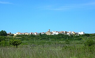
La Torre d'en Doménec or La Torre dels Domenges is a small municipality in the province of Castelló, Valencian Community, Spain. The town is located inland close to the mountain range known as Serra d'en Galceran that protects the town from the strong northern and eastern wind from the ocean.

Senija is a village in the province of Alicante and autonomous community of Valencia, Spain. The municipality covers an area of 4.8 square kilometres (1.9 sq mi) and as of 2011 had a population of 661 people.
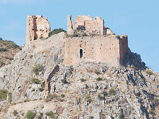
Borriol is a town and municipality located in the province of Castellón, Valencian Community, Spain.


