Campo de Borja is a Spanish Denominación de Origen Protegida (DOP) for wines located in the Campo de Borja comarca, northwest of the province of Zaragoza. It is a transition zone between the plains of the River Ebro and the mountains of the Sistema Ibérico. The DOP comprises 16 municipalities. These are Ainzón, Agón, Albeta, Ambel, Bisimbre, Borja, Bulbuente, Bureta, Fréscano, Fuendejalón, Magallón, Maleján, Mallén, Pozuelo de Aragón, Tabuenca and Vera de Moncayo. The Moncayo mountain is the dominant feature of the DOP and creates a microclimate which gives the wines a special character.

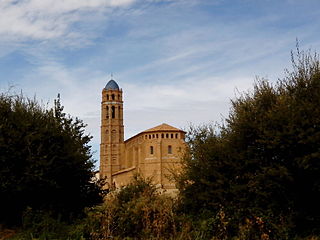
Agón is a municipality located in the province of Zaragoza, Aragon, Spain. According to the 2004 census (INE), the municipality has a human population of one hundred and ninety three.

Aldehuela de Liestos is a municipality located in the province of Zaragoza, Aragon, Spain. According to the 2004 census (INE), the municipality has a population of 33 inhabitants.

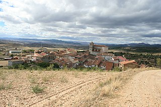
Fuendejalón is a municipality located in the province of Zaragoza, Aragon, Spain. According to the 2010 census the municipality has a population of 953 inhabitants.
Mainar is a municipality located in the province of Zaragoza, Aragon, Spain. According to the 2004 census (INE), the municipality has a population of 162 inhabitants.

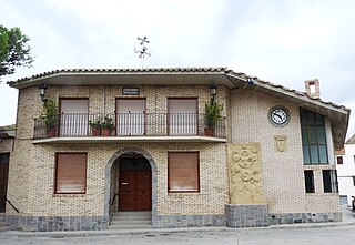
Mallén is a municipality located in the province of Zaragoza, Aragon, Spain. According to the 2010 census the municipality has a population of 3074 inhabitants. Its postal code is 50550. Mallén is located close to Road N-232 in the Huecha River valley, near the Ebro on its right side. Belsinon is an ancient Celtiberian archeological site located in the Cerro del Convento hillock, formerly known as Mania or Manlia, near Mallén.

Manchones is a municipality in the province of Zaragoza, Aragon, Spain. According to the Spanish Statistical Institute (INE), the municipality had a population of 123 inhabitants in 2010. The pueblo is in the comarca of Campo de Daroca, about 6 kilometres (3.7 mi) northwest of Daroca and just southeast of Murero in the Calatayud-Daroca depression. The Jiloca River passes to the west.
Mesones de Isuela, also known as Mesones, is a municipality located in the province of Zaragoza, Aragon, Spain. According to the 2004 census (INE), the municipality has a population of 339 inhabitants.
Orcajo is a municipality located in the province of Zaragoza, Aragon, Spain. According to the 2004 census (INE), the municipality has a population of 39 inhabitants.

Paracuellos de la Ribera is a municipality located in the province of Zaragoza, Aragon, Spain. According to the 2010 census the municipality has a population of 194 inhabitants.

Santed is a municipality located in the province of Zaragoza, Aragon, Spain. According to the 2004 census (INE), the municipality has a population of 75 inhabitants.
Sediles is a municipality located in the Comunidad de Calatayud, province of Zaragoza, Aragon, Spain. According to the 2004 census (INE), the municipality has a population of 93 inhabitants.

Sestrica is a municipality located in the province of Zaragoza, Aragon, Spain. According to the 2004 census (INE), the municipality has a population of 460 inhabitants.

Val de San Martín is a municipality located in the province of Zaragoza, Aragon, Spain. According to the 2004 census (INE), the municipality has a population of 84 inhabitants.

Valdehorna is a municipality located in the province of Zaragoza, Aragon, Spain. According to the 2004 census (INE), the municipality has a population of 51 inhabitants. The town is located near the Sierra de Santa Cruz.

Villalba de Perejil is a municipality located in the province of Zaragoza, Aragon, Spain. According to the 2004 census (INE), the municipality has a population of 123 inhabitants.

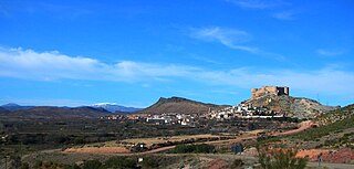
Borja is a town and municipality in the province of Zaragoza, community of Aragon, northeastern Spain. As of 2014, its population was 4,931.

Used is a municipality in province of Zaragoza, Aragon, Spain. According to the 2010 census (INE), the municipality has a population of 328 inhabitants.
Campo de Borja is a comarca (district) in Aragon, Spain. It is located in the province of Zaragoza, in a transition area between the Iberian System of mountain ranges and the Ebro Valley. Its capital is Borja.
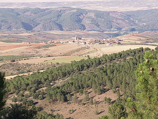
Maleján is a municipality located in the province of Zaragoza, Aragon, Spain. According to the 2010 census (INE), the municipality has a population of 344 inhabitants.