Zaragoza, also called Saragossa in English, is a province of northern Spain, in the central part of the autonomous community of Aragon. Its capital is the city of Zaragoza, which is also the capital of the autonomous community. Other towns in the province include La Almunia de Doña Godina, Borja, Calatayud, Caspe, Ejea de los Caballeros, Tarazona, and Utebo.
Salvatierra may refer to:

Tenerife is a town and municipality of the Magdalena Department in northern Colombia.

Curiti is a town and municipality in the Santander Department in North-Eastern Colombia. The area is famous for crafts made from fique, or agave sisal.

Socha is a town and municipality in the Colombian Department of Boyacá, part of the Valderrama Province, which is a subregion of Boyacá. It borders Socotá in the east, Sativasur in the north, Tasco in the south and in the west Paz de Río.
Santiago Maravatío is a Mexican city located in the Bajío (lowlands) of the state of Guanajuato. With an area of 91.760 square kilometres, Santiago Maravatío accounts for less than 1% of the surface of the state. It is bordered to the north, east and southeast by Salvatierra and to the west by Yuriria.
Priaranza del Bierzo is a village and municipality located in the region of El Bierzo. According to the 2006 census (INE), the municipality has a population of 918 inhabitants.
Laguna de Negrillos is a municipality located in the province of León, Castile and León, Spain. According to the 2010 census (INE), the municipality has a population of 1,164 inhabitants.

Báscones de Ojeda is a municipality located in the province of Palencia, Castile and León, Spain. According to the 2018 census (INE), the municipality has a population of 144 inhabitants.

Villamartín de Campos is a municipality in the province of Palencia, Castile and León, Spain. According to the 2004 census (INE), the municipality has a population of 134.

Villaturde is a municipality located in the province of Palencia, Castile and León, Spain. According to the 2022 census (INE), the municipality has a population of 154 inhabitants.

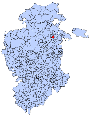
Busto de Bureba is a municipality and town located in the province of Burgos, Castile and León, Spain. According to the 2004 census (INE), the municipality has a population of 216 inhabitants.

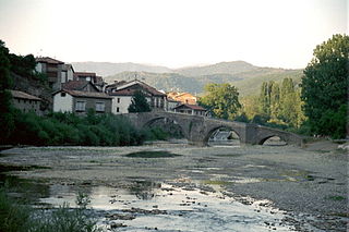
Poza de la Sal is a municipality and town located in the province of Burgos, Castile and León, Spain. According to the 2004 census (INE), the municipality has a population of 387 inhabitants.
Oteapan is a municipality in the Mexican state of Veracruz. It is in the south-east zone of the state, about 394 km from the state capital Xalapa. It has an area of 27.97 km2. It is located at 18°00′N94°40′W.

Tlacolulan is a municipality in the Mexican state of Veracruz, about 17 km from the state capital Xalapa. It has a surface of 137.36 km2. It is located at 19°40′N97°00′W. It was inhabited by the totonac pre-Hispanic, of the former ones of Xalapa's region. For decree number 25 of April 14, 1861 the Government of the State, ordered that the people head-board of this municipality names Tlacolulan of the Free ones.

Zongolica is a city and its surrounding municipality located in the south of the Mexican state of Veracruz, about 100 km from the state capital Xalapa. The municipality has a surface of 63.34 km2. It is located at 18°40′N97°00′W. The name comes from Nahuatl Tzontli-coliuhqui 'crafty hair'.

Villavieja del Lozoya is a municipality of the Community of Madrid, Spain.

La Jacetania is a comarca in northern Aragon, Spain. It is located in the northwestern corner of the Huesca and Zaragoza provinces. The administrative capital is Jaca, with 13,374 inhabitants the largest town of the comarca. The area is famous for its ski resorts.

León is one of the 59 constituencies represented in the Senate of Spain, the upper chamber of the Spanish parliament, the Cortes Generales. The constituency elects four senators. Its boundaries correspond to those of the Spanish province of León. The electoral system uses an open list partial block voting, with electors voting for individual candidates instead of parties. Electors can vote for up to three candidates.

The Ezka river is a tributary of the Aragon river that flows along 51 kilometers, mainly through the region of Navarra and to a lesser extent through Aragon. It rises at the junction of the Belagua and Uztárroz rivers in the Navarre town of Isaba and flows south through the valley to its mouth at the Yesa Reservoir, downstream from the Aragonese town of Sigüés.


