
Shajapur District is a district of Madhya Pradesh state of central India. The town of Shajapur is the district headquarters.

Sheopur District is a district of Madhya Pradesh state in central India. The district is located in the north of the state and forms part of Chambal division. It is situated on the periphery of Rajasthan, which shows in the influence of Rajasthani culture in this district.
Bhind district is a district in the Chambal division of the Indian state of Madhya Pradesh. The town of Bhind is the district headquarters. Bhind District is situated in Chambal region in the northwest of the state. It is bounded by Agra, Etawah, Jalaun and Jhansi districts of Uttar Pradesh state to the north and the east, and the Madhya Pradesh districts of Datia to the south, Gwalior to the southwest, and Morena to the west. The geography of the district is characterised by uneven ravines, plain fertile fields and scanty forests. The total area of the district is 4,459 km2 (1,722 sq mi).
Dhar district is a district of Madhya Pradesh state in central India. The historic town of Dhar is administrative headquarters of the district.
Jhalawar district is one of the 33 districts of Rajasthan state in western India. The historical city of Jhalawar is the administrative headquarters of the Jhalawar district. The district is bounded on the northwest by Kota district, on the northeast by Baran district, on the east by Guna district of Madhya Pradesh state, on the south by Rajgarh district and Agar district of Madhya Pradesh state and on the west by Ratlam district and Mandsaur district of Madhya Pradesh state. The district occupies an area of 6219 km². The district is part of Kota division. To know more about Jhalawar City

Vidisha District (विदिशा) is in Madhya Pradesh state, in central India. The city of Vidisha is the administrative headquarters of the district.

Shivpuri District is a district of Madhya Pradesh state of India. The town of Shivpuri is the district headquarters. National Highway 3 (NH-3) runs through the district.

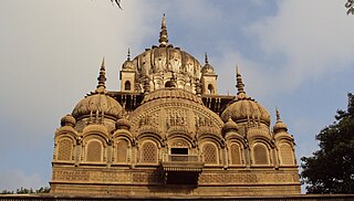
Bhopal District is a district of Madhya Pradesh state in central India. The city of Bhopal serves as its administrative headquarters. The district is part of Bhopal Division.
Morena district is one of the 52 districts of the central Indian state of Madhya Pradesh, located in the Chambal division.
Tal is a town and a nagar parishad in Ratlam District of the Indian state of Madhya Pradesh. Raja Tariya Bhil established Tal in 1243 AD.
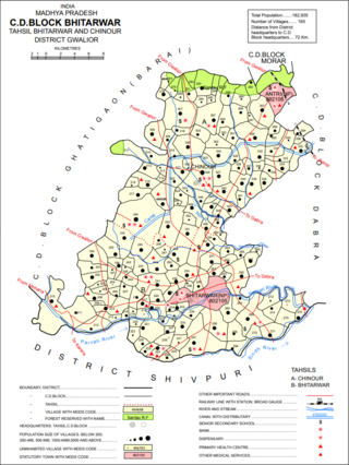
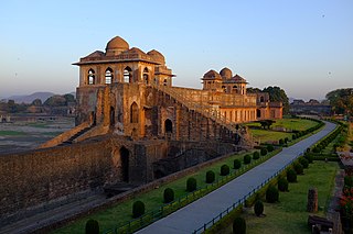
Bhitarwar is a city and a Municipality in Gwalior district in the state of Madhya Pradesh, India. The town is surrounded by a river called Parbati.
Jaithari is a town and a tehsil in Anuppur district in the Indian state of Madhya Pradesh.
Mahroni is a town and a nagar panchayat in Lalitpur district in the Indian state of Uttar Pradesh. It is one of the tehsils of Lalitpur District, and is situated 37 km away from Laitpur. It is very close to Madhya Pradesh and Uttar Pradesh border.
Sarangpur is a city and tehsil in Rajgarh district in the Indian state of Madhya Pradesh. It is situated at the bank of the river Kali Sindh.

Unchehara is a town and a nagar panchayat in Satna district in the Indian state of Madhya Pradesh. It is a block and one of six tehsils of Satna district. The town lies in the vicinity of Vindhya Range in Central India.

Alirajpur is one of the 52 districts of Madhya Pradesh state in India. It was created from Alirajpur, Jobat and Bhabra tehsils of the former Jhabua district on 17 May 2008. It is the least literate district in India as per Census 2011. Alirajpur is the administrative headquarters of the district. The district occupies an area of 2,165.24 square kilometres (836.00 sq mi), and at the 2011 census had a population of 728,999. It includes the city of Alirajpur.
Babukhedi is a village in the Bhopal district of Madhya Pradesh, India. It is located in the Berasia tehsil.
Bhatni is a village in the Bhopal district of Madhya Pradesh, India. It is located in the Berasia tehsil.
Mugaliyachhap, also called Mungaliya Chhap, is a village in the Bhopal district of Madhya Pradesh, India. It is located in the Huzur tehsil and the Phanda block.
Samarda, also spelled Samardha, is a village in the Bhopal district of Madhya Pradesh, India. It is located in the Huzur tehsil and the Phanda block.

