Needmore | |
|---|---|
 Brown County's location in Indiana | |
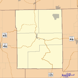 Needmore Location in Brown County | |
| Coordinates: 39°15′04″N86°20′23″W / 39.25111°N 86.33972°W | |
| Country | United States |
| State | Indiana |
| County | Brown |
| Township | Jackson |
| Elevation | 722 ft (220 m) |
| Time zone | UTC-5 (Eastern (EST)) |
| • Summer (DST) | UTC-4 (EDT) |
| ZIP code | 47448 |
| Area codes | 812 & 930 |
| FIPS code | 18-52182 [2] |
| GNIS feature ID | 439974 [1] |
Needmore is an unincorporated community in Jackson Township, Brown County, in the U.S. state of Indiana. [1]
