
U.S. Route 95 (US 95) is a major north–south United States Highway in the western United States. It travels through the states of Arizona, California, Nevada, Oregon, and Idaho, staying inland from the Pacific Coast. US 95 begins in San Luis, Arizona, at the Mexican border, where Calle 1—a short spur—leads to Highway 2 in San Luis Río Colorado, Sonora. Its northern terminus is at the Canadian border in Eastport, Idaho, where the roadway continues north as British Columbia Highway 95.

State Route 117 is a state highway in the U.S. state of Virginia. Known as Peters Creek Road, the state highway runs 7.21 miles (11.60 km) from U.S. Route 11 in Roanoke north to US 11 in Hollins. SR 117 provides a four-lane divided highway bypass of Downtown Roanoke, connecting US 11 and US 460 on the southwest and northwest sides of Roanoke and Hollins in northeastern Roanoke County.
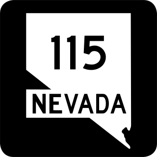
State Route 115 is a state highway outside the city of Fallon, Nevada in the United States. Known as Harrigan Road, SR 115 starts at an intersection with SR 119 and runs north to an intersection with Stillwater Avenue, paralleling U.S. Route 95.

State Route 116 is a state highway in Churchill County, Nevada, United States. Known as Stillwater Road, it connects the small town of Stillwater to U.S. Route 50 east of Fallon. The road was established by 1940 as SR 42, and was renumbered to SR 116 in 1976.

State Route 118 is a state highway in Churchill County, Nevada. It serves the southeast portion of Fallon near northern edge of Naval Air Station Fallon. Prior to 1976, the route was designated as State Route 62.

State Route 120 is a state highway in Churchill County, Nevada. It connects U.S. Route 95 to State Route 119 just outside Naval Air Station Fallon.

State Route 121 was a state highway in Churchill County, Nevada. It spurred from U.S. Route 50, east of Fallon, north 27.05 miles (43.53 km) to a local road, Settlement Road in Dixie Valley, with the moniker of Dixie Valley Road. SR 121 was assigned in 1976 and removed from the primary state highway system in 2021, with the entire length of the route being redesignated as Frontage Road FRCH08.

U.S. Route 50 (US 50) is a transcontinental highway in the United States, stretching from West Sacramento, California, in the west to Ocean City, Maryland, on the east coast. The Nevada portion crosses the center of the state and was named "The Loneliest Road in America" by Life magazine in July 1986. The name was intended as a pejorative, but Nevada officials seized it as a marketing slogan. The name originates from large desolate areas traversed by the route, with few or no signs of civilization. The highway crosses several large desert valleys separated by numerous mountain ranges towering over the valley floors, in what is known as the Basin and Range province of the Great Basin.
In the U.S. state of Nevada, U.S. Route 95 Alternate is an alternate route of U.S. Route 95 located in the western part of the state. It connects Schurz to Interstate 80 via the cities of Yerington and Fernley.
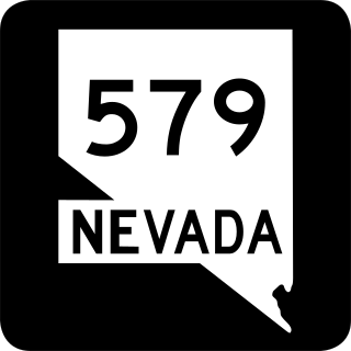
State Route 579 is a state highway in Clark County, Nevada. It follows a portion of Bonanza Road near the downtown area of Las Vegas. The route encompasses a small portion of former State Route 5 and the entirety of former State Route 5A, and also carried U.S. Route 95 before it was relocated to its present freeway alignment.
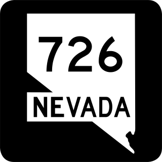
State Route 726 is a 1.866-mile-long (3.003 km) state highway in Churchill County, Nevada running through a rural area north of Fallon.

State Route 535 (SR 535) is the Nevada Department of Transportation (NDOT) designation for two discontinuous sections of Idaho Street just west of and within the small city of Elko in the northeastern part of the U.S. state of Nevada. Both segments are also signed as Interstate 80 Business, which is also signed along the city-maintained segment of Idaho Street between the two NDOT segments as well as the city-maintained segment of Idaho Street east of the final eastern terminus all the way to East Jennings Way, from which it connects to the Elko East exit on Interstate 80. Most of Interstate 80 Business in Elko, including both segments of SR 535, were formerly designated U.S. Route 40.

State Route 46 (SR 46) is a 98.7-mile-long (158.8 km) state highway that travels west-to-east through portions of Dodge, Laurens, Wheeler, Treutlen, Emanuel, Candler, and Bulloch counties in the central part of the U.S. state of Georgia. The highway connects the Eastman area with the south-central part of Bulloch County. The highway closely parallels Interstate 16 (I-16) and serves local traffic.
U.S. Route 95 is a major U.S. highway traversing the U.S. state of Nevada from north to south directly through Las Vegas and providing connections to both Carson City and Reno. US 95 is cosigned with Interstate 80 for 95 miles (153 km) between a junction in Trinity and Winnemucca before heading north into Oregon at McDermitt. At 646.71 miles (1,040.78 km), it is the longest highway in Nevada.

State Route 795 is a short state highway in southern Humboldt County, Nevada, United States. One of Nevada's newest state routes, SR 795 primarily serves as a connector road north of Winnemucca.

State Route 117 (SR-117) is a state highway in the U.S. state of Utah, connecting Wales and Mount Pleasant in Sanpete County. Running for 12.19 miles (19.62 km) as a two-lane highway, the road was originally placed under state jurisdiction in 1935, but renumbered to its current designation in 1966.

State Route 723 is a 2-mile (3.2 km) state highway in Churchill County, Nevada, running through a rural area northwest of Fallon.
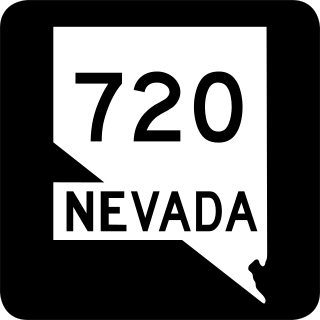
State Route 720 is a 3.248-mile-long (5.227 km) state highway in Churchill County, Nevada, south of Fallon. It serves Naval Air Station Fallon.


