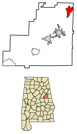
Fayette County is a county located in the U.S. state of Alabama. As of the 2020 census, the population was 16,321. Its county seat is Fayette. Its name is in honor of the Marquis de Lafayette, who aided General George Washington in the American Revolutionary War.

Marion County is a county of the U.S. state of Alabama. As of the 2020 census the population was 29,341. The county seat is Hamilton. The county was created by an act of the Alabama Territorial General Assembly on February 13, 1818. The county seat was originally established in Pikeville in 1820, and moved to Hamilton in 1881. The county was named by planter and US Indian agent John Dabney Terrell, Sr., in recognition of General Francis Marion of South Carolina.
Fayette is the name of a number of places in the United States of America. Many are named for General Gilbert du Motier, Marquis de Lafayette, a French officer who fought under General George Washington in the American Revolutionary War.

LaFayette is the county seat of Chambers County, Alabama, United States, 47 miles (76 km) northwest of Columbus, Georgia. As of the 2010 census, the population of the city was 3,003.

Fayette is a city and the county seat of Fayette County, Alabama, United States. The population was 4,619 at the 2010 census, down from 4,922 at the 2000 census.
Newtonville is an unincorporated community in Hammond Township, Spencer County, in the U.S. state of Indiana.
Bankston is an unincorporated community in Fayette County, Alabama, United States. Bankston is located on U.S. Route 43, 10.6 miles (17.1 km) east of Fayette.
Bazemore is a small community located in northern Fayette County, Alabama, United States, near the Marion and Walker County lines, approximately three miles south of I-22. The community is situated at the head of the Sipsey River where New River and Little New River converge. The BNSF rail system runs through the heart of the community.

Delta is a census-designated place and unincorporated community in Clay County, Alabama, United States. Its population was 260 as of the 2020 census.
White Plains is an unincorporated community in Chambers County, Alabama, United States. White Plains is located along U.S. Route 431, 6.4 miles (10.3 km) north of La Fayette.
Newtonville is an unincorporated community and census-designated place (CDP) in Buena Vista Township in Atlantic County, in the U.S. state of New Jersey. Newtonville is located on a Conrail line 4.7 miles (7.6 km) east-northeast of Buena. Newtonville has a post office with ZIP Code 08346.
Palmetto is an unincorporated community in northeastern Pickens County, Alabama, United States.
Boley Springs is an unincorporated community in Fayette County, Alabama, United States. A post office operated under the name Boley Springs from 1877 to 1887.
Milltown, also known as Graggs Mill or Woodville, is an unincorporated community in Chambers County, Alabama, United States. Milltown is located along Alabama State Route 77, 12.3 miles (19.8 km) north-northwest of LaFayette.
Bluff is an unincorporated community in Fayette County, Alabama, United States. Bluff is located on Alabama State Route 107, 10.1 miles (16.3 km) north-northwest of Fayette.
Kingville is an unincorporated community in southern Lamar County, Alabama, United States, about 6.6 miles (10.6 km) north-northwest of the town of Kennedy.
Studdards Crossroads is an unincorporated community in Fayette County, Alabama, United States.
Howard, also known as Howard Mines or Stovalls Gap, is an unincorporated community in Fayette County, Alabama, United States.
Covin, also known as Brockton or Tallula, is an unincorporated community in Fayette County, Alabama, United States.


