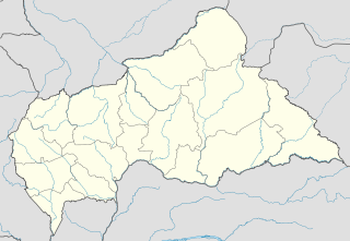
Bamingui-Bangoran is one of the 16 prefectures of the Central African Republic. It covers an area of 58,200 km² and had a population of 38,437 as of the 2003 census. The population density of 0.66/km² is the lowest in the country. The capital is Ndélé.

Bangoran is a town in the Bamingui-Bangoran Prefecture in the northern Central African Republic.

Boufoura is a village in the Bamingui-Bangoran Prefecture in the northern Central African Republic.

Boumbala is a village in the Bamingui-Bangoran Prefecture in the northern Central African Republic.

Elle, Central African Republic is a village in the Bamingui-Bangoran Prefecture in the northern Central African Republic.

Kouya Koundou is a village in the Bamingui-Bangoran Prefecture in the northern Central African Republic.

Yambala is a village in the Bamingui-Bangoran prefecture in the northern Central African Republic.

Yombo is a village in the Bamingui-Bangoran prefecture in the northern Central African Republic. The village is home to a co-educational state school which had 467 pupils in 2003, however none of these students were indigenous. The Yombo village health center provides nursing and traditional healing services.

Djabossinda is a village in the Bamingui-Bangoran Prefecture in the northern Central African Republic.

Djamassinda is a village in the Bamingui-Bangoran Prefecture in the northern Central African Republic.

Koundi is a village in the Bamingui-Bangoran Prefecture in the northern Central African Republic.

Kpakpale is a village in the Bamingui-Bangoran Prefecture in the northern Central African Republic.

Gaita Mainda is a village in the Bamingui-Bangoran Prefecture in the northern Central African Republic.

Zoukoutoumiala is a village in the Bamingui-Bangoran prefecture in the northern Central African Republic.

Zoukoutouniala is a village in the Bamingui-Bangoran prefecture in the northern Central African Republic.

Godovo is a village in the Bamingui-Bangoran Prefecture in the northern Central African Republic.

Dongo is a village in the Bamingui-Bangoran. Prefecture in the northern Central African Republic.

Gondo is a village in the Bamingui-Bangoran Prefecture in the northern Central African Republic.

Ouihi is a village in the Bamingui-Bangoran prefecture in the northern Central African Republic.

The Bamingui-Bangoran National Park complex is a national park and biosphere reserve located in the northern region of the Central African Republic. It makes up part of the Guinea-Congo Forest biome. It was established in 1993. The Vassako Bolo Strict Nature Reserve is in the midst of the park.


