North Eastern | |
|---|---|
 | |
| Country | |
| Region | Maekel |
| Time zone | UTC+3 (GMT +3) |
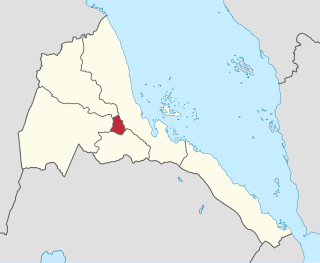
North Eastern subregion is a subregion in the central Maekel region (Zoba Maekel) of Eritrea.
North Eastern | |
|---|---|
 | |
| Country | |
| Region | Maekel |
| Time zone | UTC+3 (GMT +3) |
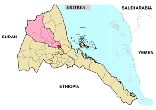
North Eastern subregion is a subregion in the central Maekel region (Zoba Maekel) of Eritrea.

Anseba region is an administrative region of Eritrea, located in northern Eritrea. The capital and the most populous city in the region is Keren. The region is named after Anseba River, which passed through most parts of the region. The average elevation in the region is around 1,800 m (5,900 ft) to 2,100 m (6,900 ft). The hottest month is May recording temperatures up to 30 °C (86 °F), while the coldest month is December to February when it reaches freezing temperature. The region received around 508 mm (20.0 in) of rainfall and the soil is conducive for agriculture.

The central region, is an administrative region of Eritrea, located in central Eritrea. The region was formed on 15 April 1996, from the historical province of Hamasien. The region is located on the central plateau, and sits at an average of about 2,250 metres (7,380 ft) above sea level. It contains Asmara, the capital and largest city of Eritrea.

Adi Tekelezan subregion is a subregion in the northwestern Anseba region of Eritrea. The capital lies at Adi Tekelezan.

Asmat subregion is a subregion in the northwestern Anseba region of Eritrea. Its capital lies at Asmat.

Elabered subregion is a subregion in the northwestern Anseba region of Eritrea. Its capital lies at Elabered.

Geleb subregion is a subregion in the northwestern Anseba region of Eritrea. Its capital lies at Geleb.

Hagaz subregion is a subregion in the northwestern Anseba region of Eritrea. Its capital lies at Hagaz (Hagat).

Halhal subregion is a subregion in the northwestern Anseba region of Eritrea. Situated 12 km north of Keren (Cheren), its capital lies at Halhal.

Keren subregion is a subregion in the northwestern Anseba region of Eritrea. Its capital lies at Keren (Cheren).

Berikh subregion is a subregion in the central Maekel region of Eritrea. Includes Berikh district and the capital lies at Berikh.
Ghala Nefhi subregion is a subregion in the central Maekel region of Eritrea. Its capital lies at Ghala Nefhi.
Serejaka subregion is a subregion in the central Maekel region of Eritrea. Its capital lies at Serejaka.
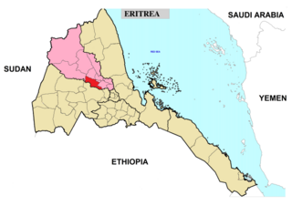
South Eastern subregion is a subregion in the central Maekel (Maakel) region of Eritrea.
South Western subregion is a subregion in the central Maekel region of Eritrea.
Logo Anseba subregion is a subregion in the eastern Gash-Barka Region of Eritrea. Its capital lies at Logo Anseba.
Mensura subregion is a subregion in the Gash Barka region of western Eritrea. The capital lies at Mensura.
Adi Quala subregion is a subregion in the southern Debub region of Eritrea. Its capital lies at Adi Quala.
Debarwa subregion is a subregion in the southern Debub region of Eritrea. Its capital lies at Debarwa.
Kudo Be'ur subregion is a subregion in the Debub (Southern) region of Eritrea. Its capital lies at Kudo Be'ur.
Mendefera subregion is a subregion in the Debub (Southern) region of Eritrea. Its capital lies at Mendefera.