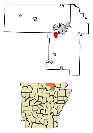
Ash Flat is a city in Fulton and Sharp counties in the U.S. state of Arkansas with a population of 1,109 in 2021.

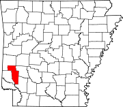
Foreman is a small city in Little River County, Arkansas, United States. The population was 1,011 at the 2010 census.
Twist is an unincorporated community in Cross County, Arkansas, United States. Twist was named after a nearby plantation of the same name.
Self is an unincorporated community in Boone County, Arkansas, United States. It is the location of Cottonwood School No. 45, which is located at Cottonwood and Dubuque Roads and is listed on the National Register of Historic Places.
Lost Corner is an unincorporated community in Pope County, Arkansas, United States. The community changed its name from Okay to avoid confusion with a community in Howard County with the same name. Lost Corner was selected because of the backwoods location of the community.
Light is an unincorporated community in Greene County, Arkansas, United States. Light is located at the junction of U.S. Route 412 and Arkansas Highway 228, 14.5 miles (23.3 km) west of Paragould. Light has a post office with ZIP code 72439.
Prim is an unincorporated community in Cleburne County, Arkansas, United States. Prim is located at the junction of Arkansas Highway 225 and Arkansas Highway 263, 9 miles (14 km) north-northeast of Greers Ferry. Prim has a post office with ZIP code 72130.
Crosses is an unincorporated community in Valley Township, Madison County, Arkansas, United States, located at the intersection of Arkansas Highways 16 and Highway 295.
Figure Five is an unincorporated community in Crawford County, Arkansas, United States.
Chimes is an unincorporated community in Van Buren County, Arkansas, United States.
Forty Four is an unincorporated community in Izard County, Arkansas, United States.
Nail is an unincorporated community in Newton County, Arkansas, United States.
Ratio is an unincorporated community in Phillips County, Arkansas, United States.
Three Brothers is an unincorporated community in northwestern Baxter County, Arkansas, United States.
Credit is an extinct town in Craighead County, Arkansas, United States.
Elevenpoint is an unincorporated community in Randolph County, Arkansas.
Health is an unincorporated community in Madison County, Arkansas, United States. The community is located on a high ridge of the Boston Mountains in the southwestern corner of Madison County at an elevation of 2,411 feet (735 m).
Plant is an unincorporated community in Van Buren County, Arkansas, United States.
Rushing is an unincorporated community in Stone County, Arkansas, United States.
Three Brothers is a group of summits in the U.S. state of Arkansas. The summits are located in northwestern Baxter County and are traversed by Arkansas Route 5. The community of Three Brothers, Arkansas lies about 1.5 miles to the southeast of the peaks. The western peak of the group reaches an elevation of just over 1320 feet.