Ozark Township | |
|---|---|
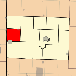 Location in Barton County | |
| Coordinates: 37°33′09″N094°32′00″W / 37.55250°N 94.53333°W | |
| Country | United States |
| State | Missouri |
| County | Barton |
| Area | |
• Total | 38.55 sq mi (99.84 km2) |
| • Land | 38.36 sq mi (99.35 km2) |
| • Water | 0.19 sq mi (0.5 km2) 0.5% |
| Elevation | 889 ft (271 m) |
| Population (2000) | |
• Total | 1,102 |
| • Density | 29/sq mi (11.1/km2) |
| GNIS feature ID | 0766285 |
Ozark Township is a township in Barton County, Missouri, USA. As of the 2000 census, its population was 1,102.
Contents
The township takes its name from the Ozark Mountains. [1]
