
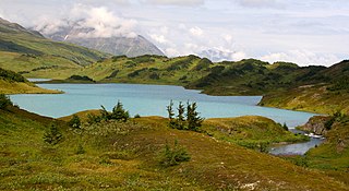
The Alaska Peninsula National Wildlife Refuge is a United States National Wildlife Refuge in southwestern Alaska whose use is regulated as an ecological-protection measure. It stretches along the southern coast of the Alaska Peninsula, between the Becharof National Wildlife Refuge on its east and the end of the peninsula at False Pass in the west. In between, however, it is broken into sections by lands of the Aniakchak National Monument and Izembek National Wildlife Refuge. The refuge is administered from offices in King Salmon, Alaska and was established to conserve Alaska Peninsula brown bears, caribou, moose, marine mammals, shorebirds, other migratory birds and fish, and to comply with treaty obligations.

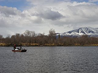
The Copper River or Ahtna River, Ahtna Athabascan ‘Atna’tuu, "river of the Ahtnas", Tlingit Eeḵhéeni, "river of copper", is a 290-mile (470 km) river in south-central Alaska in the United States. It drains a large region of the Wrangell Mountains and Chugach Mountains into the Gulf of Alaska. It is known for its extensive delta ecosystem, as well as for its prolific runs of wild salmon, which are among the most highly prized stocks in the world. The river is the tenth largest in the United States, as ranked by average discharge volume at its mouth.

The Stikine River is a major river in northern British Columbia (BC), Canada and southeastern Alaska in the United States. It drains a large, remote upland area known as the Stikine Country east of the Coast Mountains. Flowing west and south for 610 kilometres (379 mi), it empties into various straits of the Inside Passage near Wrangell, Alaska. About 90 percent of the river's length and 95 percent of its drainage basin are in Canada. Considered one of the last truly wild large rivers in BC, the Stikine flows through a variety of landscapes including boreal forest, steep canyons and wide glacial valleys.

The Kodiak National Wildlife Refuge is a United States National Wildlife Refuge in the Kodiak Archipelago in southwestern Alaska, United States.

The Taku River is a river running from British Columbia, Canada, to the northwestern coast of North America, at Juneau, Alaska. The river basin spreads across 27,500 square kilometres (10,600 sq mi). The Taku is a very productive salmon river and its drainage basin is primarily wilderness.
The Chugach National Forest is a 6,908,540-acre (27,958 km2) United States National Forest in south central Alaska. Covering portions of Prince William Sound, the Kenai Peninsula and the Copper River Delta, it was formed in 1907 from part of a larger forest reserve. The Chugach includes extensive shorelines, glaciers, forests and rivers, much of which is untouched by roads or trails. It hosts numerous bird, mammal and marine species, including extensive shorebird habitat and a bald eagle population larger than the contiguous 48 states combined. Human industry in the forest includes extensive tourism and some mining and oil and gas operations.

Ridgefield National Wildlife Refuge is a National Wildlife Refuge and is overseen by the United States Fish and Wildlife Service. The refuge borders the Columbia River and is located west of the city of Ridgefield, Washington. The wildlife haven is split by Lake River. The refuge, which provides a year-round habitat and a migration stop for a variety of bird species, protects more than 5,200 acres (2,100 ha) of marshes, grasslands, and woodlands
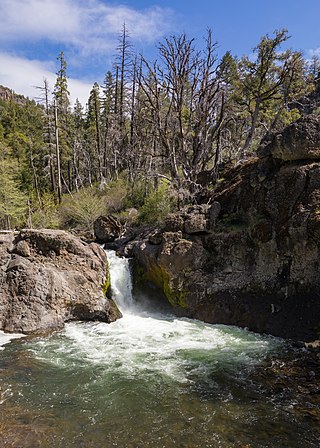
Deer Creek is a 60-mile-long (97 km) southwestward-flowing stream in Northern California that flows through Tehama County, California. It is an eastside tributary of the Sacramento River. As one of only three remaining Sacramento River tributaries supporting native runs of the genetically distinct Central Valley spring-run Chinook salmon, it is a stronghold for this state and federally endangered fish as well as other salmonids.

Baskett Slough National Wildlife Refuge is in northwestern Oregon, 10 miles (16 km) west of Salem in Polk County. The Refuge consists of 1,173 acres (4.75 km²) of cropland, which provide forage for wintering geese, 300 acres (1.2 km²) of forests, 550 acres (2.2 km²) of grasslands, and 500 acres (2.0 km²) of shallow water seasonal wetlands and 35 acres (0.14 km²) of permanent open water. In 1965, Baskett Slough National Wildlife Refuge was created to help ensure some of the original habitat remained for species preservation. The refuge is managed by the U.S. Fish and Wildlife Service, an agency of the U.S. Department of the Interior.
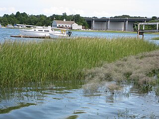
The Weymouth Back River, sometimes called Back River, is a short, primarily tidal river in Hingham and Weymouth, Massachusetts, about 10 miles (16 km) south of Boston. It arises from a number of tributaries in ponds and swamps, most notably Whitmans Pond, flows northward, and empties into Hingham Bay just south of Grape Island and Slate Island.

Arroyo Corte Madera del Presidio is a 4.1-mile-long (6.6 km) year-round stream in southern Marin County, California, United States. This watercourse is also known as Corte Madera Creek, although the actual stream of that name flows into San Francisco Bay further north at Point San Quentin. This watercourse has a catchment basin of about 8 square miles (21 km2) and drains the south-eastern slopes of Mount Tamalpais and much of the area in and around the town of Mill Valley; this stream discharges to Richardson Bay.

The Southern Oregon Coast Range is the southernmost section of the Oregon Coast Range, in the Pacific Coast Ranges, located in the southwest portion of the state of Oregon, United States, roughly between the Umpqua River and the middle fork of the Coquille River, beyond which are the Klamath Mountains. To the east is the Umpqua Valley and to the west the Pacific Ocean. This approximately 55-mile (89 km)-long mountain range contains mountains as high as 3,547 feet (1,081 m) for Bone Mountain. The mountains are known locally in the Roseburg area as the Callahan Mountains, or simply as The Callahans.
Alexander Creek, also known as Taguntna Creek, is a 35 miles (56 km) long stream from Alexander Lake which merges with the big Susitna River near the village of Alexander Creek, Alaska also known as Alexander, Alaska, an Alaska Native and Alaska Bush community, in Matanuska-Susitna Borough, Alaska.

Uvas Creek is a 29.5-mile-long (47.5 km) mainly southward-flowing stream originating on Loma Prieta peak of the Santa Cruz Mountains, in Santa Clara County, California, United States. The creek descends through Uvas Canyon County Park into Uvas Reservoir near Morgan Hill, and on through Uvas Creek Preserve and Christmas Hill Park in Gilroy. Upon passing U.S. Highway 101 it is known as Carnadero Creek, shortly before the confluence with the Pajaro River at the Santa Clara County - San Benito County boundary.

Kanuti National Wildlife Refuge is a national wildlife refuge in central Alaska, United States. One of 16 refuges in Alaska, it was established in 1980 when Congress passed The Alaska National Interest Lands Conservation Act (ANILCA). At 1,640,000 acres (6,600 km2), Kanuti Refuge is about the size of the state of Delaware. Located at the Arctic Circle, the refuge is a prime example of Alaska's boreal ecosystem. It is dominated by black and white spruce, with some white birch and poplars.

The Koyukuk National Wildlife Refuge is a 3,500,000-acre (14,000 km2) conservation area in Alaska. It lies within the floodplain of the Koyukuk River, in a basin that extends from the Yukon River to the Purcell Mountains and the foothills of the Brooks Range. This region of wetlands is home to fish, waterfowl, beaver and Alaskan moose, and wooded lowlands where two species of fox, bears, wolf packs, Canadian lynx and marten prowl.
The heart of Nowitna National Wildlife Refuge is a lowland basin of forests and wetlands that forms the floodplain of the meandering Nowitna River. The refuge's climate is typically marked by light precipitation, mild winds, long, hard winters and short, relatively warm, summers. The hills that circle the refuge lowlands are capped by alpine tundra.

Humboldt Bay National Wildlife Refuge is located on Humboldt Bay, on the California North Coast near the cities of Eureka and Arcata. The refuge exists primarily to protect and enhance wetland habitats for migratory water birds using the bay area, including tens of thousands of shorebirds, ducks, geese, swans, and the black brant. Humboldt Bay National Wildlife Refuge, along with other public and private lands around Humboldt Bay, is one of the key stopovers for the millions of migratory birds that rely on the Pacific Flyway. More than 200 bird species, including 80 kinds of water birds and four endangered species, regularly feed, rest, or nest on the refuge or other areas around the bay.
The Little Salmon River is a tributary of Lake Ontario located in Oswego County, New York. The river enters Lake Ontario approximately four miles (6.4 km) southwest from the mouth of the Salmon River.
