
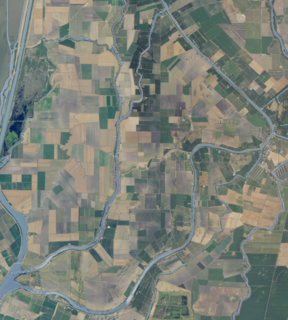
Bryte is a former town in Yolo County, California, now forming part of West Sacramento. It is located just south of the Sacramento River in the eastern portion of the county. Bryte's ZIP Code is 95605 and is in area codes 916 and 279. It lies at an elevation of 23 feet.

Fremont is an unincorporated community in Yolo County, California. It is located on the Sacramento River and Interstate 5 in the east-northeastern portion of the county. Fremont's ZIP Code is 95691 and its area code 530. It is located on the Sacramento Northern and Sacramento and Woodland Railroads 11 miles (18 km) northeast of Davis, at an elevation of 23 feet.
Arcade is an unincorporated community in Yolo County, California. It is located on the Sacramento Northern Railroad 5 miles (8.0 km) Northwest of Clarksburg, at an elevation of 26 feet.
Beatrice is an unincorporated community in Yolo County, California. It is located on the Sacramento Northern Railroad 10.5 miles (17 km) northeast of Davis, at an elevation of 26 feet.
Greendale is an unincorporated community in Yolo County, California. It is located on the Sacramento Northern Railroad 4.5 miles (7.2 km) southwest of Clarksburg, at an elevation of 13 feet.
Kiesel is an unincorporated community in Yolo County, California. It is located on the Sacramento Northern Railroad 10.5 miles (17 km) northeast of Davis, at an elevation of 26 feet.
Lovdal is an unincorporated community in Yolo County, California. It lies at an elevation of 20 feet. The area is named after the Lovdal family that owned 2,800 acres (11 km2) of land in the area by 1903.
Mikon is an unincorporated community in Yolo County, California. It is located at the junction of the Southern Pacific and Sacramento Northern Railroads 1.25 miles (2.0 km) north-northwest of West Sacramento, at an elevation of 23 feet.
Riverview is an unincorporated community in Yolo County, California. It lies on the west bank of the Sacramento River, on the Sacramento Northern and the Oakland, Antioch and Eastern Railroads 5 miles (8.0 km) south-southwest of West Sacramento, at an elevation of 16 feet.
Saxon is an unincorporated community in Yolo County, California. It is located on the Sacramento Northern Railroad 7.5 miles (12 km) west-northwest of Clarksburg, at an elevation of 23 feet.
Sorroca is an unincorporated community in Yolo County, California. It is located on the Sacramento Northern Railroad 7 miles (11 km) southwest of Clarksburg, at an elevation of 13 feet.
Valdez is an unincorporated community in Yolo County, California. It is located on the Sacramento Northern Railroad 8 miles (13 km) south-southwest of Clarksburg, at an elevation of 10 feet (3.0 m).
Vin is an unincorporated community in Yolo County, California. It is located on the Sacramento and Woodland Railroad 7 miles (11 km) northwest of West Sacramento, at an elevation of 30 feet.
Liwaito is a former settlement of the Patwin branch of the Wintun tribe in Yolo County, California. The name means "waiving" in the Patwin language, and was also applied to Putah Creek. It lay at an elevation of 135 feet. Its location is quite near Winters, California.
Marty is a former settlement in Yolo County, California. It was located on the Sacramento and Woodland Railroad 10.5 miles (17 km) northeast of Davis, at an elevation of 33 feet. It still appeared on maps as of 1915.
Plumtree is a former settlement in Yolo County, California. It was located on the Southern Pacific Railroad 4.25 miles (6.8 km) west of West Sacramento, at an elevation of 26 feet. It still appeared on maps as of 1916.
Fremont Landing was a former settlement in Yolo County, California, United States. It was located on the Sacramento River 5.5 miles (8.9 km) east-southeast of Knights Landing, at an elevation of 26 feet.
Hume is a former settlement in Butte County, California. It was located 3.5 miles (5.6 km) east-northeast of Biggs on the now-abandoned Northern Electric Railroad (which became the Sacramento Northern, at an elevation of 112 feet. The settlement still appeared on maps as of 1912.
Grand Island is on the land lying between Sycamore Slough and the Sacramento River. A post office operated at Grand Island from 1854 to 1919.
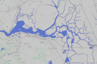
Sutter Island is a small island of the Sacramento River in California. It is bordered by the Sacramento River on the northeast, Steamboat Slough to the southease, and Sutter Slough to the west. It is located across the Sacramento River from Paintersville. It is part of Sacramento County. Its coordinates are 38°17′37″N121°35′32″W.


