Phalebas Divisthan, Nepal Phalebas Divisthan | |
|---|---|
 Phalebas Divisthan, Nepal Location in Nepal  Phalebas Divisthan, Nepal Phalebas Divisthan, Nepal (Nepal) | |
| Coordinates: 28°10′N83°39′E / 28.16°N 83.65°E | |
| Country | |
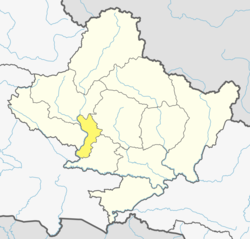
| Zone | Dhaulagiri Zone |
| District | Parbat District |
| Population (1991) | |
• Total | 3,308 |
| Time zone | UTC+5:45 (Nepal Time) |
Phalebas city is a village development committee in Parbat District in the Dhaulagiri Zone of central Nepal. At the time of the 1991 Nepal census it had a population of 3308. [1]