
Kopargaon taluka is a taluka in Shirdi subdivision of Ahmednagar district in Maharashtra state of India.
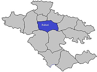
Rahuri taluka, is a taluka in the Shrirampur subdivision of the Ahmednagar district in Maharashtra, western India.
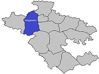
Sangamner taluka, is a taluka in Sangamner subdivision of Ahmednagar district in Maharashtra state of India.
Kadaiya Khurd is a village in the Bhopal district of Madhya Pradesh, India. It is located in the Berasia tehsil.
Garha Khurd is a village in the Bhopal district of Madhya Pradesh, India. It is located in the Berasia tehsil.
Badbeli Khurd is a village in the Bhopal district of Madhya Pradesh, India. It is located in the Berasia tehsil.
Jhagariya Khurd is a village in the Bhopal district of Madhya Pradesh, India. It is located in the Huzur tehsil and the Phanda block.
Sagoni Khurd is a village in the Bhopal district of Madhya Pradesh, India. It is located in the Berasia tehsil.
Rampur is a village in the Palghar district of Maharashtra, India. It is located in the Dahanu taluka. It lies along the Maharashtra State Highway 73.
Ghadane is a village in the Palghar district of Maharashtra, India. It is located in the Dahanu taluka.
Bodgaon is a village in the Palghar district of Maharashtra, India. It is located in the Dahanu taluka.
Naruli is a village in the Palghar district of Maharashtra, India. It is located in the Dahanu taluka.
Tadiyale is a village in the Palghar district of Maharashtra, India. It is located in the Dahanu taluka, on the shore of Arabian Sea.
Kasa Khurd is a village in the Palghar district of Maharashtra, India. It is located in the Dahanu taluka.
Khambale is a village in the Palghar district of Maharashtra, India. It is located in the Dahanu taluka.
Kosesari is a village in the Palghar district of Maharashtra, India. It is located in the Dahanu taluka. It is in rural part of Palghar, and it is one of the 173 villages of Dahanu Block of Palghar district.
Pimpalshet Budruk is a village in the Palghar district of Maharashtra, India. It is located in the Dahanu taluka.
Vittalnagar is a village in the Palghar district of Maharashtra, India. It is located in the Vikramgad taluka.
Dolhari Khurd is a village in the Palghar district of Maharashtra, India. It is located in the Vikramgad taluka.
Apti Khurd is a village in the Palghar district of Maharashtra, India. It is located in the Vikramgad taluka.

