The Transverse Ranges are a group of mountain ranges of southern California, in the Pacific Coast Ranges physiographic region in North America. The Transverse Ranges begin at the southern end of the California Coast Ranges and lie within Santa Barbara, Ventura, Los Angeles, San Bernardino, Riverside and Kern counties. The Peninsular Ranges lie to the south. The name Transverse Ranges is due to their east–west orientation, making them transverse to the general northwest–southeast orientation of most of California's coastal mountains.

The Sangre de Cristo Mountains are the southernmost subrange of the Rocky Mountains. They are located in southern Colorado and northern New Mexico in the United States. The mountains run from Poncha Pass in South-Central Colorado, trending southeast and south, ending at Glorieta Pass, southeast of Santa Fe, New Mexico. The mountains contain a number of fourteen thousand foot peaks in the Colorado portion, as well as several peaks in New Mexico which are over thirteen thousand feet.

The Medicine Bow Mountains are a mountain range in the Rocky Mountains that extend 100 miles (160 km) from northern Colorado into southern Wyoming. The northern extent of this range is the sub-range the Snowy Range. From the northern end of Colorado's Never Summer Mountains, the Medicine Bow mountains extend north from Cameron Pass along the border between Larimer and Jackson counties in Colorado and northward into south central Wyoming. In Wyoming, the range sits west of Laramie, in Albany and Carbon counties to the route of the Union Pacific Railroad and U.S. Interstate 80. The mountains often serve as a symbol for the city of Laramie. The range is home to Snowy Range Ski Area.

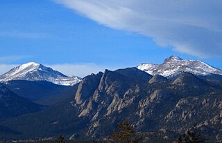
The Mummy Range is a mountain range in the Rocky Mountains of northern Colorado in the United States. The range is a short subrange of the Front Range located in southwestern Larimer County northwest of the town of Estes Park. It is located largely within Rocky Mountain National Park, extending north from Trail Ridge Road approximately 15 mi (24 km). The Arapaho name is "nooku-bee3ei-no," which translates to "White Owls."

Palo Pinto is a census-designated place (CDP) and unincorporated community and county seat in Palo Pinto County, Texas, United States. This was a new CDP for the 2010 census with a population of 333.

Grizzly Peak is a high and prominent mountain summit of the Collegiate Peaks in the Sawatch Range of the Rocky Mountains of North America. The 13,995-foot (4265.6 m) thirteener is located 2.6 miles (4.2 km) south-southwest of Independence Pass, Colorado, United States, on the Continental Divide separating San Isabel National Forest and Chaffee County from White River National Forest and Pitkin County.

Haliotis kamtschatkana, common name the northern abalone, threaded abalone, or pinto abalone, is a species of large sea snail, a marine gastropod mollusc in the family Haliotidae, the abalones.
The Black Mountains, a mid-Miocene formation, in Nevada are a series of rugged, arid rocky volcanic mountains ranging in elevations to 3310 ft. The range lies on the north shore of Lake Mead, at the southwest corner of the Overton Arm, about 25 mi south of Overton, Nevada.

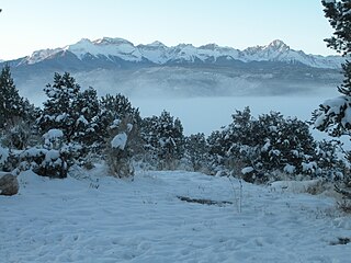
The Sneffels Range, regionally conterminous with San Juans, is a young, prominent, and rugged range of mountains in southwestern Colorado of the San Juan Mountains. The Sneffels range form the southern border of Ouray County and run west to east.

The Mohawk M1C was a 1920s American two or three-seat low-wing monoplane designed and built by Mohawk Aero Corporation of Minneapolis, Minnesota. One M1C was evaluated by the United States Army Air Corps in 1930 as the YPT-7 Pinto for use as a primary trainer.

The Mountain states form one of the nine geographic divisions of the United States that are officially recognized by the United States Census Bureau. It is a subregion of the Western United States.

The Pine Valley Mountains are a mountain range in Washington County, Utah, United States, spanning the county north of the city of St. George. The highest point in the range is Signal Peak at 10,365 feet (3,159 m). The mountains are part of Dixie National Forest and are bordered to the south by the Red Cliffs National Conservation Area.

Bear Peak is a mountain summit in the Front Range of the Rocky Mountains of North America. The 8,459-foot (2,578 m) peak is located in Boulder Mountain Park, 5.2 miles (8.3 km) south-southwest of downtown Boulder in Boulder County, Colorado, United States.

Arrow Peak is a high mountain summit in the Grenadier Range of the Rocky Mountains of North America. The 13,809-foot (4,209 m) thirteener is located in the Weminuche Wilderness of San Juan National Forest, 8.7 miles (14.0 km) south-southeast of the Town of Silverton in San Juan County, Colorado, United States.


