Pleasant Valley Township, Fayette County, Iowa

Last updated

Pleasant Valley Township
Map highlighting Pleasant Valley Township, Fayette County, Iowa.svg
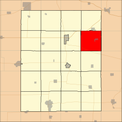
Location in Fayette County
Coordinates: 42°56′58″N91°40′09″W / 42.94944°N 91.66917°W / 42.94944; -91.66917
Country Flag of the United States (23px).png  United States
State Flag of Iowa.svg Iowa
County Fayette
Area
  Total
36.68 sq mi (94.99 km2)
  Land36.64 sq mi (94.89 km2)
  Water0.039 sq mi (0.1 km2)  0.11%
Elevation
1,033 ft (315 m)
Population
 (2010)
  Total
1,002
  Density27.35/sq mi (10.56/km2)
Time zone UTC-6 (CST)
  Summer (DST) UTC-5 (CDT)
ZIP codes
52135, 52141, 52175
GNIS feature ID 0468545

Pleasant Valley Township is one of twenty townships in Fayette County, Iowa, United States. As of the 2010 census, its population was 1,002. [1]

Contents

Geography

According to the United States Census Bureau, Pleasant Valley Township covers an area of 36.67 square miles (94.99 square kilometers); of this, 36.64 square miles (94.89 square kilometers, 99.89 percent) is land and 0.04 square miles (0.1 square kilometers, 0.11 percent) is water.

Cities, towns, villages

Unincorporated towns

(This list is based on USGS data and may include former settlements.)

Adjacent townships

Cemeteries

The township contains these three cemeteries: Brainard, Elgin and God's Acres.

Major highways

School districts

Political districts

References

  1. "Profile of General Population and Housing Characteristics: 2010 Demographic Profile Data (DP-1): Pleasant Valley township, Fayette County, Iowa". United States Census Bureau . Retrieved March 5, 2012.