Putnam Township, Fayette County, Iowa

Last updated

Putnam Township
Map highlighting Putnam Township, Fayette County, Iowa.svg
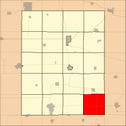
Location in Fayette County
Coordinates: 42°41′14″N91°40′01″W / 42.68722°N 91.66694°W / 42.68722; -91.66694
Country Flag of the United States (23px).png  United States
State Flag of Iowa.svg  Iowa
County Fayette
Area
  Total
36.56 sq mi (94.69 km2)
  Land36.54 sq mi (94.63 km2)
  Water0.02 sq mi (0.06 km2)  0.06%
Elevation
1,109 ft (338 m)
Population
 (2010)
  Total
313
  Density8.6/sq mi (3.3/km2)
Time zone UTC-6 (CST)
  Summer (DST) UTC-5 (CDT)
ZIP codes
50606, 50607, 50650, 52076
GNIS feature ID 0468582

Putnam Township is one of twenty townships in Fayette County, Iowa, United States. As of the 2010 census, its population was 313. [1]

Contents

Geography

According to the United States Census Bureau, Putnam Township covers an area of 36.56 square miles (94.69 square kilometers); of this, 36.54 square miles (94.63 square kilometers, 99.94 percent) is land and 0.02 square miles (0.06 square kilometers, 0.06 percent) is water.

Unincorporated towns

(This list is based on USGS data and may include former settlements.)

Adjacent townships

Cemeteries

The township contains Union Cemetery.

Major highways

School districts

Political districts

References

  1. "Profile of General Population and Housing Characteristics: 2010 Demographic Profile Data (DP-1): Putnam township, Fayette County, Iowa". United States Census Bureau . Retrieved March 5, 2012.