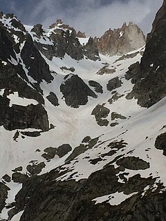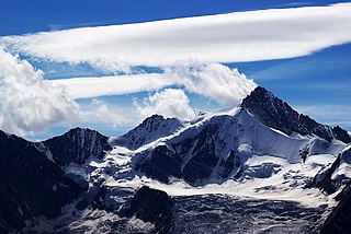
The Grandes Jorasses is a mountain in the Mont Blanc massif, on the boundary between Haute-Savoie in France and Aosta Valley in Italy.

The Susa Valley is a valley in the Metropolitan City of Turin, Piedmont region of northern Italy, located between the Graian Alps in the north and the Cottian Alps in the south. It is one of the longest valleys of the Italian Alps. It extends over 50 kilometres (31 mi) in an east-west direction from the French border to the outskirts of Turin. The valley takes its name from the city of Susa which lies in the valley. The Dora Riparia river, a tributary of the Po, flows through the valley.

The Bertol Hut is a mountain hut overlooking the Bertol Pass, south of Arolla in the Swiss canton of Valais. It is known for its precarious position on a ridge at 3,311 metres (10,863 ft) south of the Pointe de Bertol and is accessed by a number of fixed ladders and chains from the glacier pass. All accesses to the hut involve glacier crossing. On its east side it overlooks the large plateau of the Mont Miné Glacier.

The Dent du Géant is a mountain in the Mont Blanc massif in France and Italy.

The Vanoise massif is a mountain range of the Graian Alps, located in the Western Alps. After the Mont Blanc Massif and the Massif des Écrins it is the third highest massif in France, reaching a height of 3,885 m at the summit of Grande Casse. It lies between Tarentaise Valley to the north and the Maurienne valley in the south. The range is the site of France's first National Park in 1963, the Vanoise National Park. The ski resorts of Tignes and Val-d'Isère and the 2,770-meter-high Col de l'Iseran are located in the eastern part of the range.
The Pointe d'Orny is a mountain of the Mont Blanc massif, located west of Orsières in the canton of Valais. It lies north-east of the Plateau du Trient.

The Dent de Perroc is a mountain of the Swiss Pennine Alps, overlooking Arolla in the canton of Valais. With an elevation of 3,676 metres above sea level, the Dent de Perroc is one of the highest summit of the range separating the valley of Arolla on the west side from the valley of the Mont Miné Glacier on the east side.
The Tsa de l'Ano is a mountain of the Swiss Pennine Alps, located east of Les Haudères in the canton of Valais. It is separated by the Col de Mourti from the Pointes de Mourti to the southeast, on the range between the valley of Hérens and the Moiry Glacier . To the north of the main summit is the secondary peak of Pointe de Moiry, which is separated by the Col de la Couronne from the Couronne de Bréona.

The Pointe de Zinal is a mountain of the Swiss Pennine Alps, located south of Zinal in the canton of Valais. It is situated east of the Dent Blanche, between the valleys of Zinal and Zmutt (Zermatt).
The Pointe Allobrogia is a mountain of the Mont Blanc massif, overlooking the Col Ferret on the border between Italy and Switzerland. It lies at the southern end of the range south-east of Mont Dolent.
The Pointe Ronde is a mountain of the Mont Blanc massif, overlooking Trient in the canton of Valais. It lies near the northern end of the Arête de la Lys, the ridge descending in a north-westerly direction from the Génépi towards the Col de la Forclaz.

The Pointe des Plines is a minor peak on the east edge of the Mont Blanc massif, close to the Aiguille Dorees, and overlooking the Saleina Glacier in the canton of Valais.
The Grande Pointe des Planereuses is a mountain of the Mont Blanc massif, located west of Praz de Fort in the canton of Valais, Switzerland. It lies on the range south of the Saleina Glacier.

The Dents de Bertol are a multi-summited mountain of the Swiss Pennine Alps, located south of the Col de Bertol in the canton of Valais. The main summit has an elevation of 3,547 metres (11,637 ft).

The Glacier Noir is a glacier in the Massif des Écrins in the French Alps. It is located in the département of Hautes-Alpes.
The Bornes Massif is a mountainous massif in the north French Prealps in the département of Haute-Savoie. It has 20 peaks higher than 2000 m and is a popular destination for winter sports. The Massif is the source of the celebrated cheese Reblochon.

The Pointe Sud de Moming is a mountain of the Swiss Pennine Alps, located west of Täsch in the canton of Valais. It lies on the range between the Weisshorn and the Zinalrothorn, south of the Col de Moming.
The Pointe Nord de Moming is a mountain of the Swiss Pennine Alps, located west of Täsch in the canton of Valais. It lies on the range between the Weisshorn and the Zinalrothorn, north of the Col de Moming.
The Pointe de Boveire is a mountain of the Pennine Alps, located between Fionnay and Liddes in the canton of Valais. It lies north of the Petit Combin, in the Grand Combin massif.


