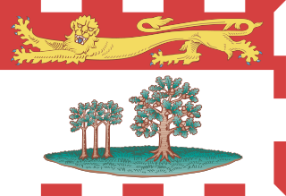
Prince Edward Island is an island province of Canada. While it is the smallest province in terms of land area and population, it is the most densely populated. The island has several nicknames: "Garden of the Gulf", "Birthplace of Confederation" and "Cradle of Confederation". Its capital and largest city is Charlottetown. It is one of the three Maritime provinces and one of the four Atlantic provinces.

The Prince Edward Islands are two small uninhabited volcanic islands in the sub-Antarctic Indian Ocean that are administered by South Africa. They are named Marion Island and Prince Edward Island.

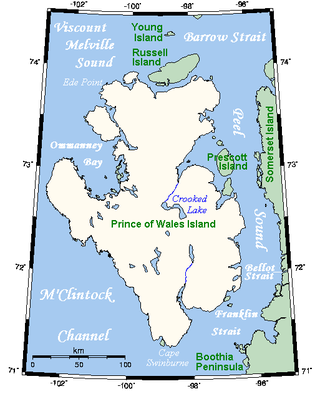
Prince of Wales Island is an Arctic island in Nunavut, Canada. One of the larger members of the Arctic Archipelago, it lies between Victoria Island and Somerset Island and is south of the Queen Elizabeth Islands.

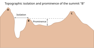
The topographic isolation of a summit is the minimum distance to a point of equal elevation, representing a radius of dominance in which the peak is the highest point. It can be calculated for small hills and islands as well as for major mountain peaks and can even be calculated for submarine summits. Mount Everest, the highest point on Earth, has an undefined isolation, since there are no higher points to reference.

This article comprises three sortable tables of major mountain peaks of Canada.

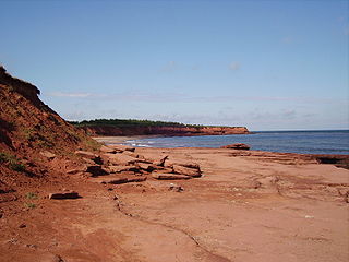
The geography of Prince Edward Island is mostly pastoral with red soil, white sand, and scattered communities. Known as the "Garden of the Gulf", the island is located in the Gulf of Saint Lawrence north of Nova Scotia and east of New Brunswick, with which it forms the Northumberland Strait.

Jabal Soudah is a peak in the Soudah mountains in Saudi Arabia. Jabal Soudah is officially recognized by the Saudi authorities as the highest point in Saudi Arabia, with an elevation of 3,015 metres (9,892 ft).


