Quickville, Kansas | |
|---|---|
 | |
 Quickville  Quickville | |
| Coordinates: 39°31′41.4″N101°16′49.3″W / 39.528167°N 101.280361°W | |
| Country | United States |
| State | Kansas |
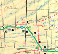
| County | Thomas |
| Elevation | 3,307 ft (1,008 m) |
| Population | |
• Total | 0 |
| Time zone | UTC-6 (CST) |
| • Summer (DST) | UTC-5 (CDT) |
| Area code | 785 |
| GNIS ID | 482662 [1] |
Quickville is a ghost town in Thomas County, Kansas, United States. It is farm ground with no remaining structures.
