The Arctic Archipelago, also known as the Canadian Arctic Archipelago, is a group of islands north of the Canadian mainland.

Añorbe is a town and municipality located in the autonomous community of Navarre, northern Spain.
Enériz is a town and municipality located in the province and autonomous community of Navarre, northern Spain.

Hàm Tân is a rural district of Bình Thuận Province in the Southeast region of Vietnam. As of 2003 the district had a population of 168,717. The district covers an area of 941 km². The district capital lies at Tân Nghĩa.

Jurata - popular Polish sea side resort, part of the town of Jastarnia. Located on the Hel Peninsula in forested area between Jastarnia and Hel, on the Baltic Sea, Puck County, Pomeranian Voivodeship.
Hoogehaar is a village in the Netherlands and it is part of the Coevorden municipality in Drenthe. Hoogehaar has an altitude of 9 meters (32 feet).

Ballast is a village in the Netherlands and it is part of the Coevorden municipality in Drenthe. Its elevation is 9 meters (32 feet).

Araripina is a Brazilian municipality in the state of Pernambuco. Has an estimated population in 2009 of 79.877 inhabitants according with IBGE. Total area of 1.847,5 km² and is located in the state mesoregion of Sertão, at 622 meters above the sea level and 683 km West from the state capital, Recife. The exploration of gypsum and calcarium is the base of the local economy and at the hononymous microregion.
Belo Jardim a Brazilian municipality in the state of Pernambuco. Has an estimated population in 2009 of 74.028. Total area of 647.7 km². It is located at 608 meters above the sea level and 182 km away from the state capital, Recife.

Zbyszyce is a village in the administrative district of Gmina Gródek nad Dunajcem, within Nowy Sącz County, Lesser Poland Voivodeship, in southern Poland. It lies approximately 11 kilometres (7 mi) north of Nowy Sącz and 65 km (40 mi) south-east of the regional capital Kraków.

Brylińce is a village in the administrative district of Gmina Krasiczyn, within Przemyśl County, Subcarpathian Voivodeship, in south-eastern Poland. It lies approximately 11 kilometres (7 mi) south-west of Przemyśl and 60 km (37 mi) south-east of the regional capital Rzeszów.

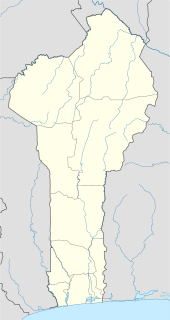
Ifangni is a town, arrondissement, and commune in the Plateau Department of south-eastern Benin. The commune covers an area of 242 square kilometres and as of 2002 had a population of 113,749 (2013) people.

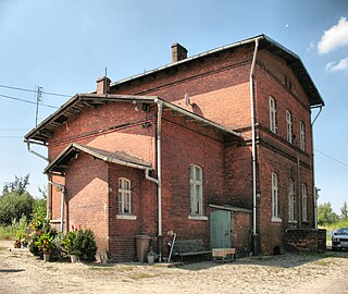
Dziadoszyce is a village in the administrative district of Gmina Kożuchów, within Nowa Sól County, Lubusz Voivodeship, in western Poland. It lies approximately 6 kilometres (4 mi) south-east of Kożuchów, 10 km (6 mi) south of Nowa Sól, and 28 km (17 mi) south-east of Zielona Góra.

Omala is a Local Government Area in Kogi State, Nigeria bounded in the north by the Benue River. Its headquarters are in the town of Abejukolo in the north of the area at7°43′N7°33′E.
Rahivere is a village in Jõgeva Parish, Jõgeva County in eastern Estonia.

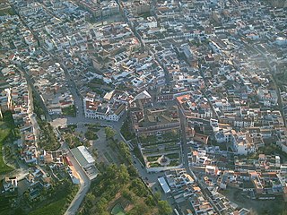
Fernán-Núñez is a municipality in the province of Córdoba, Spain. It is the host of the annual Caños Dorados Prize.
Pallehaduwa is a village in Sri Lanka. It is located within Central Province.
Babayevo is the name of several inhabited localities in Russia.
Abu kabir is a city in the Sharqia Governorate of Egypt.


