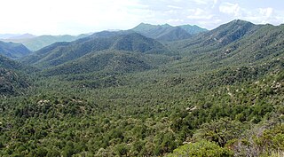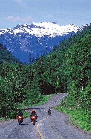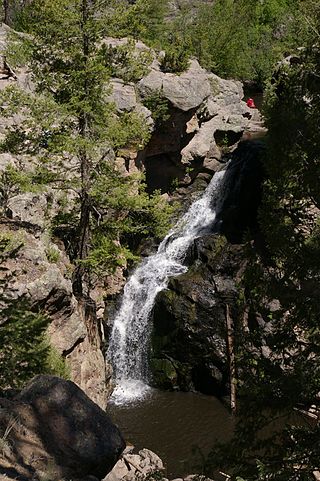
The Humboldt–Toiyabe National Forest (HTNF) is the principal U.S. National Forest in the U.S. state of Nevada, and has a smaller portion in Eastern California. With an area of 6,289,821 acres (25,454.00 km2), it is the largest U.S. National Forest outside of Alaska.

The Ranger School is a 62-day United States Army small unit tactics and leadership course that develops functional skills directly related to units whose mission is to engage the enemy in close combat and direct fire battles. Ranger training was established in September 1950 at Fort Benning, Georgia. The Ranger course has changed little since its inception. Until recently, it was an eight-week course divided into three phases. The course is now 61 days in duration and divided into three phases as follows: Benning Phase, Mountain Phase, and Swamp Phase.

The Ochoco National Forest is located in the Ochoco Mountains in Central Oregon in the United States, north and east of the city of Prineville, location of the national forest headquarters. It encompasses 850,000 acres (3,440 km2) of rimrock, canyons, geologic oddities, dense pine forests, and high desert terrain, as well as the headwaters of the North Fork Crooked River. A 1993 Forest Service study estimated that the extent of old growth in the forest was 95,000 acres (38,000 ha).

The Coronado National Forest is a United States National Forest that includes an area of about 1.78 million acres (7,200 km2) spread throughout mountain ranges in southeastern Arizona and southwestern New Mexico.

The Prescott National Forest is a 1.25 million-acre United States National Forest located in north central Arizona in the vicinity of Prescott. The forest is located in the mountains southwest of Flagstaff and north of Phoenix in Yavapai County, with a small portion extending into southwestern Coconino County.

White River National Forest is a National Forest in northwest Colorado. It is named after the White River that passes through its northern section. It is the most visited National Forest in the United States, primarily from users of the twelve ski areas within its boundaries.

The Cibola National Forest is a 1,633,783 acre United States National Forest in New Mexico, US. The name Cibola is thought to be the original Zuni Indian name for their pueblos or tribal lands. The name was later interpreted by the Spanish to mean "buffalo." The forest is disjointed with lands spread across central and northern New Mexico, west Texas and Oklahoma. The Cibola National Forest is divided into four Ranger Districts: the Sandia, Mountainair, Mt. Taylor, and Magdalena. The Forest includes the San Mateo, Magdalena, Datil, Bear, Gallina, Manzano, Sandia, Mt. Taylor, and Zuni Mountains of west-central New Mexico. The Forest also manages four National Grasslands that stretch from northeastern New Mexico eastward into the Texas Panhandle and western Oklahoma. The Cibola National Forest and Grassland is administered by Region 3 of the United States Forest Service from offices in Albuquerque, New Mexico. Elevation ranges from 5,000 ft to 11,301 ft. The descending order of Cibola National Forest acres by county are: Socorro, Cibola, McKinley, Catron, Torrance, Bernalillo, Sandoval County, New Mexico, Lincoln, Sierra, and Valencia counties in New Mexico. The Cibola National Forest currently has 137,701 acres designated as Wilderness. In addition to these acres, it has 246,000 acres classified as Inventoried Roadless Areas pursuant to the Roadless Area Conservation Rule.

The Colville National Forest is a U.S. National Forest located in northeastern Washington state. It is bordered on the west by the Okanogan–Wenatchee National Forest and the Kaniksu National Forest to the east. The forest also borders Little Pend Oreille National Wildlife Refuge and the Lake Roosevelt National Recreation Area.

Plumas National Forest is a 1,146,000-acre (4,640 km2) United States National Forest located at the northern terminus of the Sierra Nevada, in northern California. The Forest was named after its primary watershed, the Rio de las Plumas, or Feather River.

Pisgah National Forest is a National Forest in the Appalachian Mountains of western North Carolina. It is administered by the United States Forest Service, part of the United States Department of Agriculture. The Pisgah National Forest is completely contained within the state of North Carolina. The forest is managed together with the other three North Carolina National Forests from common headquarters in Asheville, North Carolina. There are local ranger district offices located in Pisgah Forest, Mars Hill, and Nebo.

The Santa Fe National Forest is a protected national forest in northern New Mexico in the Southwestern United States. It was established in 1915 and covers 1,558,452 acres (6,306.83 km2). Elevations range from 5,300 feet (1600 m) to 13,103 feet (4000 m) at the summit of Truchas Peak, located within the Pecos Wilderness. The Jemez, Coyote, and Cuba districts are located in the Jemez Mountains; the Pecos/Las Vegas district is located in the Sangre de Cristo Mountains; and the Española district is located in both mountain ranges. In descending order of land area the forest lies in parts of Rio Arriba, San Miguel, Sandoval, Santa Fe, Mora, and Los Alamos counties. Forest headquarters are located in the city of Santa Fe.

The Sumter National Forest is one of two forests in South Carolina that are managed together by the United States Forest Service, the other being the Francis Marion National Forest. The Sumter National Forest consists of 370,442 acres (1,499.13 km2) which are divided into 3 distinct sections in western and central South Carolina. The Enoree Ranger District is the largest, comprising roughly 170,000 acres in Chester, Fairfield, Laurens, Newberry, and Union counties. Next is the Long Cane Ranger District, comprising about 120,000 acres in Abbeville, Edgefield, Greenwood, McCormick, and Saluda counties. The smallest district is the Andrew Pickens Ranger District comprising over 85,000 acres which lies entirely in Oconee county and is part of the Appalachian Mountains. Forest headquarters of both South Carolina forests are located together in the state's capital city of Columbia.

Ranger Peak is in the northern Teton Range, Grand Teton National Park, Wyoming. The peak is located slightly northwest of and across Jackson Lake from Colter Bay Village. Colter Canyon is to the north while Waterfalls Canyon is immediately southeast of the peak, but there are no maintained trails in the area. Access to the summit involves off trail hiking and scrambling. The top of the mountain is more than 4,500 feet (1,400 m) above Jackson Lake.
A ranger is typically either a caretaker that aids in the management of natural resources like public parks/forests or someone that works in a law enforcement or military/paramilitary role specializing in patrolling a given territory, called "ranging" or "scouting". The term most often refers to:

Mount Arab, sometimes known as Arab Mountain, is a 2,533-foot-tall (772 m) mountain located in the town of Piercefield, New York, in the northern part of the Adirondack Mountain Range. At the summit of this mountain is a large fire tower and a ranger station known as the Arab Mountain Fire Observation Station. Because hiking to the summit of this mountain does not take very long and because it offers excellent views of the surrounding mountains and lakes, it is an extremely popular location for tourists and hikers of the Northern Adirondacks.

Pryor Mountains National Forest was established as the Pryor Mountains Forest Reserve by the U.S. Forest Service in Montana on November 6, 1906 by the U.S. Forest Service with 78,732 acres (318.62 km2). It became a National Forest on March 4, 1907. On July 1, 1908 it was combined with part of Yellowstone National Forest to establish Beartooth National Forest. The name was discontinued.
Datil National Forest was a United States National Forest established in western New Mexico by the U.S. Forest Service in 1908. It was merged into another and ceased in 1931.

Trischman Knob el. 8,573 feet (2,613 m) is an isolated summit along the Continental Divide on the Madison Plateau in Yellowstone National Park. The summit is located approximately 1.5 miles (2.4 km) west of the Bechler River trail just south of Madison Lake, the source of the Firehole River. The summit was named in 1962 by Assistant Chief Ranger Willam S. Chapman for Harry Trischman (1886–1950). Trischman came to Yellowstone in 1899 with his parents. His father was the post carpenter at Fort Yellowstone. Trischman worked as a U.S. Army scout and in 1916 became one of the first park rangers. He worked as a ranger in Yellowstone until his retirement in 1945. Trischman Knob was one of his favorite backcountry haunts.
Douglas Knob el. 8,507 feet (2,593 m) is an isolated mountain peak in the southwest section of Yellowstone National Park. Located just east of the Littler Fork of the Bechler River at the southern extent of the Madison Plateau, Douglas Knob is named for Joseph O. Douglas. In 1962, then Assistant Chief Ranger, William S. Chapman named the summit for Douglas who was an early Park Ranger. In 1921, Douglas was the Assistant Chief Ranger as well as the park's chief Buffalo Keeper. The summit is less than .25 miles (0.40 km) east of the Bechler River trail.
Meenahga Mountain is a 2,087-foot-tall (636 m) mountain located in Adirondack Mountains of New York. It is located in the northeast of the hamlet of Paul Smiths in Franklin County. The mountain is the site of a 73-foot-tall (22 m) Aermotor LS40 fire lookout tower.


