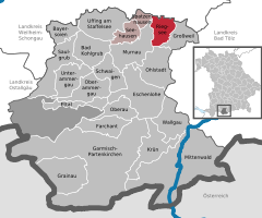
Ruhpolding is the municipality with the biggest area of the Traunstein district in southeastern Bavaria, Germany. It is situated in the south of the Chiemgau region in the Alps and next to the Austrian border.

Miesbach is a town in Bavaria, Germany, and is the capital of the Miesbach district. The district is at an altitude of 697 metres above sea level. It covers an area of approximately 863.50 km2 of alpine headlands and in 2017 had a population of 11,477. The town is located 48 km southeast of Munich. Lake Schliersee and Lake Tegernsee, around which are the internationally renowned spas, Bad Wiessee, Rottach-Egern and Tegernsee, are nearby. Miesbach was founded around the year 1000 and was for hundreds of years the seat of the County of Hohenwaldeck. In the 19th century, it became the centre of the conservation movement for the traditional costumes, the Tracht. Miesbach also has a rich history as a pilgrimage and a mining village, which can still be seen in the city landscape.
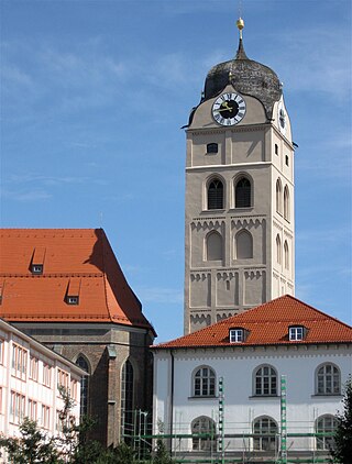
Erding is a town in Bavaria, Germany, and capital of the rural district of the same name. It had a population of 36,469 in 2019.
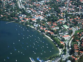
Herrsching am Ammersee is a municipality in Upper Bavaria, Germany, on the east shore of the Ammersee, southwest of Munich. The population is around 8,000 in winter, increasing to 13,000 in summer.

Laufen is a town in Berchtesgadener Land district in Bavaria at the Austria–Germany border.

Grafrath is a municipality in the district of Fürstenfeldbruck in Bavaria in Germany. It takes its name from Saint Rasso (Ratho), a count (Graf) who founded a Benedictine abbey in the 10th century, and which existed until 1803.

Ochsenfurt is a town in the district of Würzburg, in Bavaria, Germany. Ochsenfurt is located on the left bank of the River Main and has around 11,000 inhabitants. This makes it the largest town in Würzburg district.
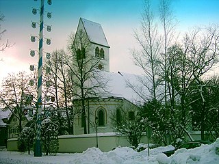
Gräfelfing is a municipality in the district of Munich, in Bavaria, Germany. It is located 1 km west of Munich.

Uffing am Staffelsee is a municipality in the district of Garmisch-Partenkirchen, in Bavaria, Germany. It consists of the two villages of Uffing and Schöffau and is located on Staffelsee, the warmest lake in Germany. The River Ach flows through Uffing.

Prien am Chiemsee is a municipality in the Upper Bavarian district of Rosenheim in Germany. The town is a certified air and Kneipp spa on the western shore of the lake of Chiemsee, 16 kilometres (9.9 mi) east of Rosenheim.
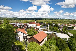
Tittmoning is a town in the district of Traunstein, in Bavaria, Germany.
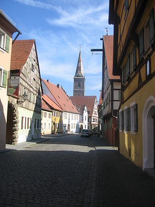
Wolframs-Eschenbach is a town in the district of Ansbach, in Bavaria, Germany. It is situated 14 km southeast of Ansbach, and 36 km southwest of Nuremberg.

Dollnstein is a municipality in the district of Eichstätt in Bavaria in Germany. The name Dollnstein has its origins in Middle High German "Tollunstein".

Seehausen am Staffelsee is a municipality in the district of Garmisch-Partenkirchen, in Bavaria, Germany. The main village, Seehausen, lies on the eastern shore of the Staffelsee lake.

Aura im Sinngrund is a community in the Main-Spessart district in the Regierungsbezirk of Lower Franconia (Unterfranken) in Bavaria, Germany and a member of the Verwaltungsgemeinschaft of Burgsinn.

Neunkirchen is a municipality in the Miltenberg district in the Regierungsbezirk of Lower Franconia in Bavaria, Germany and a member of the Verwaltungsgemeinschaft of Erftal, whose seat is in Bürgstadt.

Kirchanschöring is a municipality in the district of Traunstein in Bavaria, Germany. The community is located in the Rupertiwinkel and it borders on the eastern waterside of the Waginger See, although the town itself is some kilometers away from the lake.

Pähl am Ammersee is a municipality in the Weilheim-Schongau district, in Bavaria, Germany. It is on the lake of Ammersee to the southwest of Munich.

Amerdingen is a municipality in the district of Donau-Ries in Bavaria in Germany.

Wolf-Dieter Montag was a German physician, sports medicine specialist, mountain rescue doctor, and international sports administrator. His medical career spanned 50 years in his native Bavaria, and included being a lecturer, teacher and consultant for orthopedic surgery, and physical therapy. He served as vice-president of the German Sport Medical Association, advised the Landtag of Bavaria on medical matters, and was a mountain rescue doctor and instructor for 30 years. He was the chief physician of the German Ice Skating Union for eight years, then was its president for 16 years. He was a medical advisor to the International Skating Union for 10 years, served as the Chief Medical Officer of the International Ice Hockey Federation for 23 years, and was a member of the medical committee for the International Olympic Committee at all Summer and Winter Olympic Games from 1972 to 2002. He received multiple awards during his career, including the Order of Merit of the Federal Republic of Germany first class, the Bavarian Order of Merit, the Olympic Order, induction into the German Ice Hockey Hall of Fame, and the inaugural Paul Loicq Award.

