
Altenstadt an der Waldnaab is a municipality in the district of Neustadt an der Waldnaab in Bavaria, Germany. It is situated on the river Waldnaab, 2 km (1.2 mi) southeast of Neustadt an der Waldnaab, and 5 km (3.1 mi) north of Weiden in der Oberpfalz. Bundesautobahn 93 passes west of Altenstadt. It has a railway station on the Weiden–Oberkotzau railway.

Warngau is a municipality in the Miesbach District of Bavaria, Germany. It is located at 47°50′N11°44′E and has a population of 3,489.

Ebersdorf bei Coburg is a municipality in the district of Coburg in Bavaria in Germany.

Karlsfeld is a municipality in the district of Dachau, in Bavaria, Germany. During World War II, it was the location of a subcamp of Dachau concentration camp.

Veitshöchheim is a municipality in the district of Würzburg, in Bavaria, Germany. It is situated on the right bank of the Main, 6 kilometres (4 mi) northwest of Würzburg. Veitshöchheim has a population just under 10,000. It includes two villages: Veitshöchheim and Gadheim

Marktleuthen is a municipality in the district of Wunsiedel, in Bavaria, Germany. It is situated on the river Eger, 10 km north of Wunsiedel and 11 km southwest of Selb.

Oberdachstetten is a municipality in the district of Ansbach in Bavaria in Germany.

Dinkelscherben is a municipality in the district of Augsburg in Bavaria in Germany. Fleinhausen, Anried, Breitenbronn, Ettelried, Grünenbaindt, Häder, Lindach, Oberschöneberg and Ried are villages that make up the municipality of Dinkelscherben.

Blaibach is a municipality in the district of Cham in Bavaria in Germany.
Spiegelau is a municipality in the district of Freyung-Grafenau in Bavaria in Germany. It lies in the heart of the Bavarian Forest.

Bad Kohlgrub is a German municipality in the district of Garmisch-Partenkirchen, in Bavaria. It lies 12 kilometres (7.5 mi) west of Murnau am Staffelsee and 8 kilometres (5.0 mi) north of Oberammergau, and is connected to both by the Ammergau Railway.

Unterammergau is a municipality in the district of Garmisch-Partenkirchen, in Bavaria, Germany. It is the site of the 11th-century Chapel of St Leonhard, patron saint of horses, which is the terminus of the annual Leonhardritt and Blessing of the Animals.

Dürrlauingen is a municipality in the district of Günzburg in Bavaria in Germany.

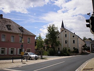
Mühlhausen is a municipality in the district of Neumarkt in Bavaria in Germany. It lies in the Sulz River valley.

Schwaig is a municipality in the district of Nürnberger Land in Bavaria in Germany.
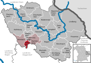
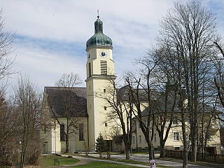
Gotteszell is a municipality in the district of Regen in Bavaria in Germany.

Aschau im Chiemgau is a municipality and a village in the district of Rosenheim in Bavaria in Germany.
Schirnding is a municipality in the district of Wunsiedel in Bavaria in Germany. Schirnding station is a border station on the Nuremberg–Cheb railway.

Buxheim is a municipality in the district of Unterallgäu in Bavaria, Germany.

Stetten is a municipality in the district of Unterallgäu in Bavaria, Germany. The town has a municipal association with Dirlewang.


