
Hooker Island is one of the central islands of Franz Josef Land. It is located in the central area of the archipelago at 80.23°N 53.02°E. It is administered by the Arkhangelsk Oblast, Russia.

Jackson Island is an island located in Franz Josef Land, Arkhangelsk Oblast, Russian Federation. This island is part of the Zichy Land subgroup of the central part of the archipelago.

Wilczek Island, is located in the southeastern end of Franz Josef Land, Arkhangelsk Oblast, Russia.

Wilczek Land, is an island in the Arctic Ocean at 80.58°N 60.5°E. At 2,000 km2 (770 sq mi) it is the second-largest island in Franz Josef Land, in Arctic Russia.

Hall Island is an island of the Russian Arctic archipelago of Franz Josef Land.

Salisbury Island, is an island located in the central area of Franz Josef Land, Russia.

McClintock Island is an island in Franz Josef Land, Russia.

La Ronciere Island (Russian: Остров Ла-Ронсьер, romanized: Ostrov La-Ronsier, also known as Ronser Island, is an island in Franz Josef Land, Russia.
Karl Alexander Island, also known as Zemlya Karla-Alexandra, is an island in Franz Josef Land, Russia.
Payer Island is an island in Franz Josef Land, Russia.
Rainer Island or Rainier Island is an island in Franz Josef Land, Russia. Lat. 81° 42' N; long 59° 00' E.

Hayes Island, also known as Heiss Island is an island in Franz Josef Land, Russia. It is located in the central area of the archipelago, north of Hall Island, between Champ Island and Wilczek Land. Its area is 132 km2.

Greely Island is an island in Franz Josef Land, Arkhangelsk Oblast, Russia.
Hofmann Island is an island in Franz Josef Land, Russian Arctic.

The Russian Arctic islands are a number of islands groups and sole islands scattered around the Arctic Ocean.

Koldewey Island is an island in Franz Josef Land, Russia.

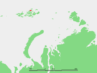
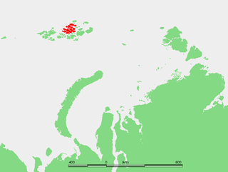
The Geography of Franz Josef Land refers to an island group belonging to Arkhangelsk Oblast of Russia. It is situated in the Barents Sea of the Arctic, north of Novaya Zemlya and east of Svalbard. At latitudes between 80.0° and 81.9° north, it is the most northerly group of islands associated with Eurasia. The extreme northernmost point is Cape Fligely on Rudolf Island. The archipelago consists of 191 ice-covered islands with a total area of 16,134 km2 (6,229 sq mi). It is currently uninhabited. The archipelago is only 900 to 1,110 km from the North Pole, and the northernmost islands are closer to the Pole than any other land except for Canada's Ellesmere Island and Greenland. The largest island is Zemlya Georga which measures 110 km (68 mi) from end to end. The highest point in the archipelago is on Ostrov Viner-Neyshtadt which reaches 620 m (2,034 ft) above sea level. The central cluster of large islands in the midst of the archipelago forms a compact whole, known as Zichy Land, where islands are separated from each other by very narrow sounds that are frozen most of the year.
Schönau Island is an island in Franz Josef Land, Russia.
Kuhn Island is an island in Franz Josef Land, Arkhangelsk Oblast, Russia.
Kane Island is an island in Franz Josef Land, Arkhangelsk Oblast, Russian Arctic.

