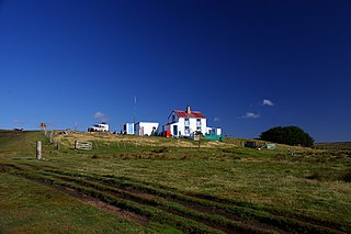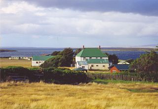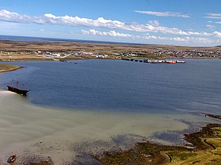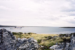
West Falkland is the second largest of the Falkland Islands in the South Atlantic. It is a hilly island, separated from East Falkland by the Falkland Sound. Its area is 4,532 square kilometres, 37% of the total area of the islands. Its coastline is 1,258.7 kilometres long.

East Falkland is the largest island of the Falklands in the South Atlantic, having an area of 6,605 km2 or 54% of the total area of the Falklands. The island consists of two main land masses, of which the more southerly is known as Lafonia; it is joined by a narrow isthmus where the settlement of Goose Green is located, and it was the scene of the Battle of Goose Green during the Falklands War.

The Falkland Sound is a sea strait in the Falkland Islands. Running southwest-northeast, it separates West and East Falkland.

Port San Carlos is located on the northern bank of the inlet known as Port San Carlos, off San Carlos Water on the Western coast of East Falkland, in the Falkland Islands. It is sometimes nicknamed "KC" after former owner Keith Cameron.

Salvador Settlement, also called Salvador, Salvador Settlement Corral, is a small harbour and settlement on East Falkland, in the Falkland Islands, It is on the north east coast, on the south shore of Port Salvador. It is one of a handful of Spanish place names on the islands, still in use.

Port Egmont was the first British settlement in the Falkland Islands, on Saunders Island off West Falkland, and is named after John Perceval, 2nd Earl of Egmont, who was First Lord of the Admiralty at the time of its founding.

Puerto Soledad was a Spanish military outpost and penal colony on the Falkland Islands, situated at an inner cove of Berkeley Sound.

San Carlos Water is a bay/fjord on the west coast of East Falkland, facing onto the Falkland Sound.

Volunteer Point is a headland on the east coast of East Falkland, in the Falkland Islands, north-northeast of Stanley, and east of Johnson's Harbour and Berkeley Sound. It lies at the end of a narrow peninsula, which protects Volunteer Lagoon. It received its name in 1815, when the sealing ship Volunteer left a boat's crew there to collect seal skins while it went in search of opportunities elsewhere. Four years later, on 13 February 1820, the French research vessel L'Uranie struck a submerged rock just off the point but stayed afloat long enough to be beached in Berkeley Sound. All on board survived, including the Captain's wife, Rose de Freycinet, who recorded the incident in her diary.

Teal Inlet, once named Evelyn Station, is a settlement on East Falkland, in the Falkland Islands, on the south shore of Salvador Water. It is overshadowed by Jack's Mountain.

Stanley Harbour is a large inlet on the east coast of East Falkland island. A strait called "the Narrows" leads into Port William.

Port William is a large inlet on the east coast of East Falkland island. A strait called "the Narrows" leads into Stanley Harbour.
Bold Cove is a small inlet on West Falkland near Port Howard on Falkland Sound, notable for its history. It runs parallel to the northern end of Port Howard, and Peake Ridge forms the west coast. It is approximately two miles long.

Mare Harbour, known colloquially as East Cove Port, is a small settlement on East Falkland, on Choiseul Sound. It is mostly used as a port facility and depot for RAF Mount Pleasant, as well as a deepwater port used by the Royal Navy ships patrolling the South Atlantic and Antarctica, which means that the main harbour of the islands, Stanley Harbour, tends to deal with commercial transport.
Egg Harbour is a location in Lafonia on East Falkland. It faces onto Falkland Sound. There are a few buildings here, some of them abandoned.
Uranie Bay is in the north east of East Falkland on the south coast of Berkeley Sound. It is named after the corvette L’Uranie, which was beached there in February 1820 after striking a submerged rock off Volunteer Point. The vessel was returning to France after almost achieving a full circumnavigation of the globe. Although there was some hope at the time of beaching that the hull could be repaired, this proved impossible, and the 109 sailors and 23 officers were stranded for two and a half months. They survived by hunting the cattle and horses that had been left on the islands for just such emergencies and, when all else failed, penguins. Remarkably, the liquor store, although virtually unguarded, remained intact until their ultimate departure.
The Battle of San Carlos was a battle between aircraft and ships that lasted from 21 to 25 May 1982 during the British landings on the shores of San Carlos Water in the 1982 Falklands War. Low-flying land-based Argentine jet aircraft made repeated attacks on ships of the British Task Force.
Bodie Creek, also called Bodie Inlet, is the estuary of Orqueta Creek and other small streams into Choiseul Sound, located south of the settlement of Goose Green in Lafonia, in the centre of East Falkland, Falkland Islands.


