Baja California Sur, officially the Free and Sovereign State of Baja California Sur, is the least populated state and the 31st admitted state of the 32 federal entities which comprise the 31 States of Mexico. It is also the ninth-largest Mexican state in terms of area.

Ixtapaluca is a city and a municipality in the eastern part of the State of Mexico in Mexico. It lies between the Federal District and the western border of the state of Puebla. The name Ixtapaluca means "Where the salt gets wet".

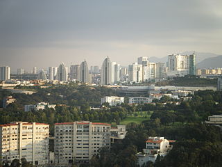
Huixquilucan Municipality is one of the municipalities in State of Mexico, Mexico. It lies adjacent to the west side of the Federal District and is part of Greater Mexico City but independent of Mexico City itself. The name "Huixquilucan" comes from Nahuatl meaning, "place full of edible thistles".

San Juan Bautista Tuxtepec, or simply referred to as Tuxtepec, is the head of the municipality by the same name and is the second most populous city of the Mexican state of Oaxaca. It is part of the Tuxtepec District of the Papaloapan Region. As of the 2020 census, the city is home to a population of 103,609 and 159,452 in the municipality, though census data are often under reported for various reasons.

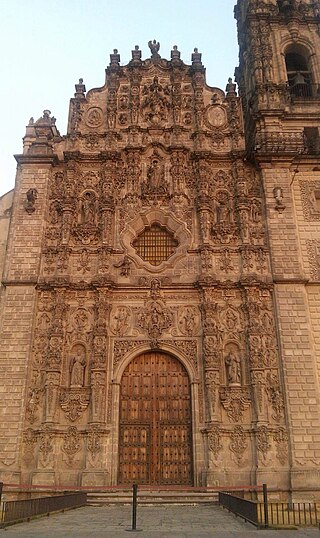
Tepotzotlán is a city and a municipality in the Mexican state of Mexico. It is located 40 km (25 mi) northeast of Mexico City about a 45-minute drive along the Mexico City-Querétaro at marker number 41. In Aztec times, the area was the center of a dominion that negotiated to keep most of its independence in return with being allied with the Aztec Triple Alliance. Later, it would also be part of a "Republic of the Indians," allowing for some autonomy under Spanish rule as well. The town became a major educational center during the colonial period when the Jesuits established the College of San Francisco Javier. The college complex that grew from its beginnings in 1580 would remain an educational center until 1914. Today this complex houses the Museo del Virreinato, with one of the largest collections of art and other objects from this time period.
San Francisco Ixhuatán is a town, and the surrounding municipality of the same name, in the Mexican state of Oaxaca. It is part of the Juchitán District in the west of the Istmo de Tehuantepec region. The Nahuatl name element Ixhuatán means "town of palm fronds".
Tlatlaya is one of 125 municipalities of the State of Mexico in Mexico. The municipal seat is the town of Tlatlaya which is the eleventh largest town in the municipality. The word “Tlatlaya” means when the hearth is black and red.
Texcaltitlán is a town and a municipality of the State of Mexico in Mexico. It is located 65 km from Toluca on the high plains south of the Nevado de Toluca volcano. The name Texcaltitlán comes from the Nahuatl: texcalli = “rock”; titla= "among", with the complete meaning as “among rocks”.
Ixtlahuaca de Rayón is the municipal seat and 5th largest city in the municipality of Ixtlahuaca north of Toluca in the northwest part of the State of Mexico, in Mexico. The distance between Mexico City and Ixtlahuaca is 32 km. The name Ixthahuaca comes from Náhuatl and means plains without trees. The city and municipality were officially established by decree on November 14, 1816 by the Congress of the State of Mexico.
San Francisco is a combined city/county in the U.S. state of California.

Francisco León is one of the 119 Municipalities of Chiapas, in southern Mexico. It covers an area of 114.3 km². In 1982 parts of the municipality were buried in the eruption of El Chichón Volcano.

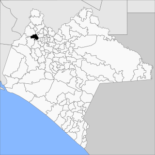
Venustiano Carranza is a city and one of the 119 municipalities of Chiapas, in southern Mexico.

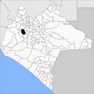
San Fernando is a town and one of the 119 Municipalities of Chiapas, in southern Mexico.

Mezquital is one of the 39 municipalities of Durango, in north-western Mexico. The municipal seat lies at San Francisco del Mezquital. The municipality covers an area of 7,196.5 km².
Soyaniquilpan de Juárez is a municipality in the State of Mexico in Mexico. The municipal seat is San Francisco Soyaniquilpan. The municipality covers an area of 140.77 km².
Xonacatlán is one of 125 municipalities in Mexico State in Mexico. The municipality covers an area of 32.87 km².

Huaquechula Municipality is a municipality in Puebla in south-eastern Mexico.

Sola de Vega District is located in the Sierra Sur Region of the State of Oaxaca, Mexico. The district center is Villa Sola de Vega.

Yaxkukul Municipality is one of the 106 municipalities in the Mexican state of Yucatán, containing 43.43 kilometres (26.99 mi) of land and located roughly 25 kilometres (16 mi) northeast of the city of Mérida. Survey maps of Yaxkukul cite its full name as "Santa Cruz de Mayo Yaxkukul".
Irimbo is a municipality located in the southeastern part of the Mexican state of Michoacán. The municipality has an area of 125.54 square kilometers.


