Burgkirchen is a municipality in the district Braunau am Inn in the Austrian state of Upper Austria.

Perwang am Grabensee is a municipality in the district of Braunau am Inn in the Austrian state of Upper Austria.

Pfaffstätt is a municipality in the district of Braunau am Inn in Austrian state of Upper Austria.
Roßbach is a municipality in the district of Braunau am Inn in the Austrian state of Upper Austria.

Gaspoltshofen is a municipality in the district of Grieskirchen in the Austrian state of Upper Austria.
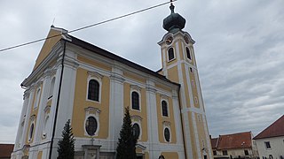
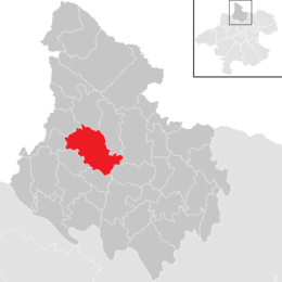
Hofkirchen an der Trattnach is a municipality in the district of Grieskirchen in the Austrian state of Upper Austria.

Pollham is a municipality in the district of Grieskirchen in the Austrian state of Upper Austria.
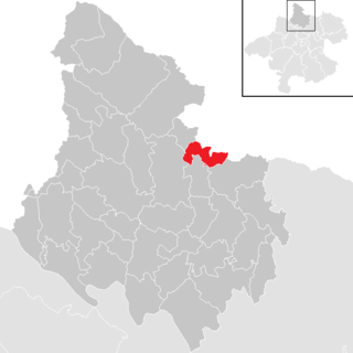
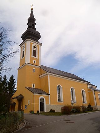
Gurten is a municipality in the district of Ried im Innkreis in the Austrian state of Upper Austria.

Haslach an der Mühl is a municipality in the district of Rohrbach in the Austrian state of Upper Austria.
Sankt Veit im Mühlkreis is a municipality in the district of Rohrbach in the Austrian state of Upper Austria.

Sankt Ulrich im Mühlkreis is a municipality in the district of Rohrbach in the Austrian state of Upper Austria.
Sankt Peter am Wimberg is a municipality in the district of Rohrbach in the Austrian state of Upper Austria. It is located 173 km from Austria's capital city, Vienna. The municipality also observes Daylight saving time (DST).
Lichtenau im Mühlkreis is a municipality in the district of Rohrbach in the Austrian state of Upper Austria.
Altschwendt is a municipality in the district of Schärding in the Austrian state of Upper Austria.

Eggerding is a municipality in the district of Schärding in the Austrian state of Upper Austria.

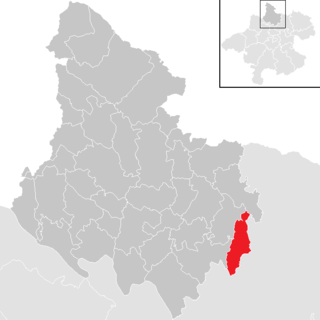
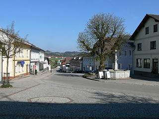
Engelhartszell an der Donau is a municipality in the district of Schärding in the Austrian state of Upper Austria.
Riedau is a municipality in the district of Schärding in the Austrian state of Upper Austria.

Zell an der Pram is a town and a municipality in the district of Schärding in the Austrian state of Upper Austria.

Großraming is a municipality in the district of Steyr-Land in the Austrian state of Upper Austria.

St. Lorenz is a municipality in the district of Vöcklabruck in the Austrian state of Upper Austria.